Browse / Netherlands / Zeeland / Clinge
Clinge
Zeelandvillage

Clinge
Total population
2,320
Demographic figures from CBS Netherlands. Overview below cites Wikipedia and may reference a different year.
City facts
Facts from Wikidata (CC0).
Overview
Clinge is a village in the Dutch province of Zeeland. It is a part of the municipality of Hulst, and lies about 28 km southwest of Bergen op Zoom. Clinge is located on the Dutch-Belgian border and joins with the Belgian town of De Klinge, in the Belgian municipality of Sint-Gillis-Waas. This border can normally be crossed freely.
Read more on WikipediaHistory & geography
History
The village was first mentioned in the 13th century as die clinc, and means hill. Clinge is a linear settlement. The moorland was cultivated in the 13th century and poldered in 1616. In 1830, it was cut off from its Belgian part and became an independent parish in 1875. The Catholic St Henricus Church was built in 1875 and is a three-aisled basilica like church. The tower was restored in 1973.
Excerpted from the corresponding Wikipedia article (CC BY-SA).
Geography
Coordinates & boundaries from the US Census TIGER/Line shapefiles.
Climate
Air quality
Walkability
Amenities nearby
Wildlife & biodiversity
Most-observed species
- DogwoodCornus sanguinea L. · Magnoliopsida20,136
- Canada Goose (canadensis Group)Branta canadensis (Linnaeus, 1758) · Aves19,726
- Yellow-legged hornetVespa velutina Lepeletier, 1836 · Insecta15,367
- Ring-necked PheasantPhasianus colchicus Linnaeus, 1758 · Aves14,941
- Egyptian GooseAlopochen aegyptiaca (Linnaeus, 1766) · Aves13,121
- Common BuzzardButeo buteo (Linnaeus, 1758) · Aves9,781
- MallardAnas platyrhynchos Linnaeus, 1758 · Aves9,299
- Common Wood-PigeonColumba palumbus Linnaeus, 1758 · Aves9,153
Citizen-science & research observations from the Global Biodiversity Information Facility (GBIF).
Earthquake history
Most recent
- M 2.8 — 2008-12-201 km WSW of Louvain-la-Neuve, Belgium
- M 2.8 — 2008-09-121 km NNW of Court-Saint-Étienne, Belgium
- M 2.7 — 2008-08-091 km SW of Ottignies, Belgium
- M 2.6 — 2008-08-090 km NW of Ottignies, Belgium
- M 2.5 — 2008-08-081 km SSW of Ottignies, Belgium
- M 2.6 — 2008-08-081 km SSE of Boussu, Belgium
Events from the USGS Earthquake Catalog (global) (FDSN Event Web Service).
Photos
Sights & places nearby
Notable people from here


People born within ~10 km, from Wikidata (CC0). Click any name for their Wikipedia article.
Nearby places in Zeeland
- Kapellebrug1.5 mi away · pop. 330
- Sint Jansteen1.7 mi away · pop. 3,165
- Hulst1.8 mi away · pop. 10,845
- Heikant3.2 mi away · pop. 1,125
- Nieuw Namen3.6 mi away · pop. 1,015
- Terhole4 mi away · pop. 475
- Graauw4.3 mi away · pop. 965
- Lamswaarde5.4 mi away · pop. 780
- Kuitaart5.6 mi away · pop. 100
- Koewacht5.8 mi away · pop. 2,545
- Vogelwaarde6.4 mi away · pop. 2,090
- Hengstdijk6.7 mi away · pop. 540
Geography & sun
Elevation, sunrise/sunset and daylight from Open-Meteo. Solar climatology from NASA POWER.
Nearby airports
Public attention
Pageview totals from the Wikimedia Pageviews API.
Books about this place
Recent natural events nearby
Ground air-quality sensors
Recently spotted species
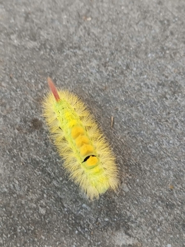
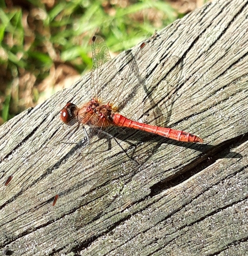
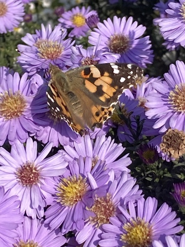
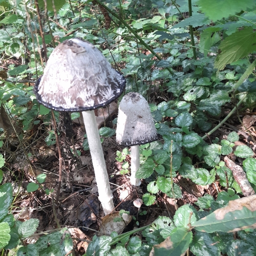
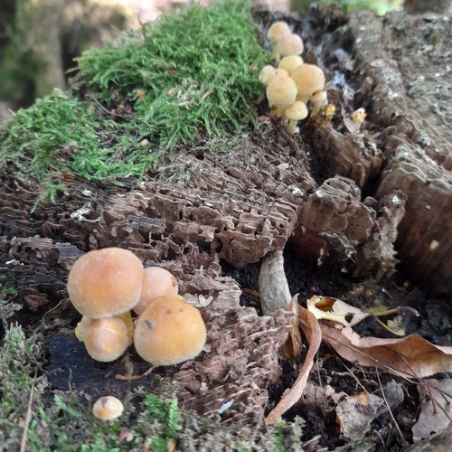
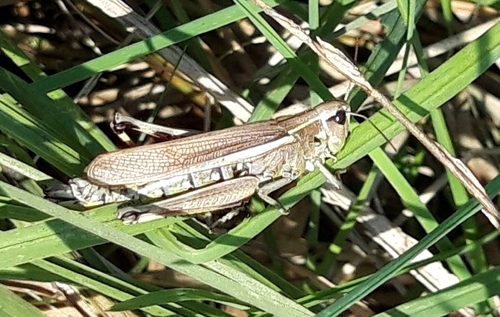
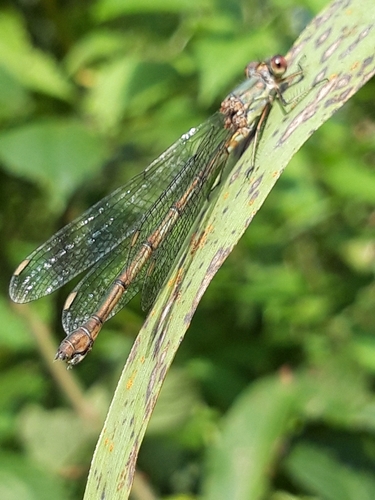
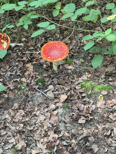
Research-grade observations from iNaturalist (within ~15 mi).
Events
Gallery
Official Identifiers
CBS — Statistics Netherlands
- CBS code
- 0659
- Population (Wikidata)
- 1,136
- Wikidata
- Q1915621
Gemeente codes via Wikidata P382
Sources
- • Wikipedia
- • Wikidata
- • USGS Earthquake Catalog (global feed)
- • GBIF (Global Biodiversity Information Facility)
- • iNaturalist
- • Open-Meteo / sunrise-sunset.org
- • Wikipedia Pageviews API
- • CBS — Statistics Netherlands, municipality code via Wikidata P382
- • CBS — Statistics Netherlands — Gemeente codes via Wikidata P382