Browse / Netherlands / Zeeland / Sint Jansteen
Sint Jansteen
Zeelandvillage

Sint Jansteen
Total population
3,165
Demographic figures from CBS Netherlands. Overview below cites Wikipedia and may reference a different year.
City facts
Overview
Sint Jansteen is a village in the Dutch province of Zeeland. It is a part of the municipality of Hulst, and lies about 31 km southwest of Bergen op Zoom.
Read more on WikipediaHistory & geography
History
The village was first mentioned in 1248 as Sancti Ioannis ad Lapidem, and means "stone building dedicated to John the Baptist". The stone building refers to a castle which has been known to exists since 1170, and contained a chapel dedicated to John the Baptist. Sint Jansteen is a road village which was a free heerlijkheid (=not a fief). Sint Jansteen was completely demolished on the order of Lt General Pieter de la Rocque, in preparation against the French attack on Hulst during the Austrian Succession War in 1747. De la Rocque was later arrested and sentenced to life imprisonment for his war crimes in Loevestein Castle. Sint Jansteen was a separate municipality until 1970, when it was merged with Hulst.
Excerpted from the corresponding Wikipedia article (CC BY-SA).
Geography
Coordinates & boundaries from the US Census TIGER/Line shapefiles.
Climate
10-year averages from ERA5 reanalysis (Open-Meteo).
Air quality
Walkability
Amenities nearby
Wildlife & biodiversity
Earthquake history
Photos
Sights & places nearby
Notable people from here


People born within ~10 km, from Wikidata (CC0). Click any name for their Wikipedia article.
Nearby places in Zeeland
- Kapellebrug0.9 mi away · pop. 330
- Hulst1.4 mi away · pop. 10,845
- Heikant1.5 mi away · pop. 1,125
- Clinge1.7 mi away · pop. 2,320
- Terhole3.8 mi away · pop. 475
- Koewacht4.2 mi away · pop. 2,545
- Nieuw Namen5.2 mi away · pop. 1,015
- Graauw5.3 mi away · pop. 965
- Vogelwaarde5.5 mi away · pop. 2,090
- Lamswaarde5.6 mi away · pop. 780
- Kuitaart5.6 mi away · pop. 100
- Hengstdijk6.2 mi away · pop. 540
Geography & sun
Elevation, sunrise/sunset and daylight from Open-Meteo. Solar climatology from NASA POWER.
Nearby airports
Public attention
Pageview totals from the Wikimedia Pageviews API.
Books about this place
Recent natural events nearby
Ground air-quality sensors
Recently spotted species

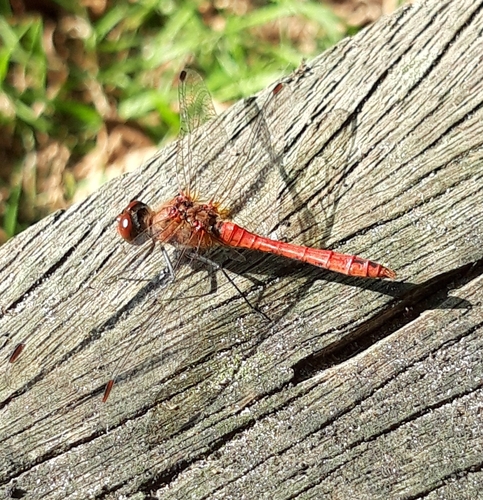
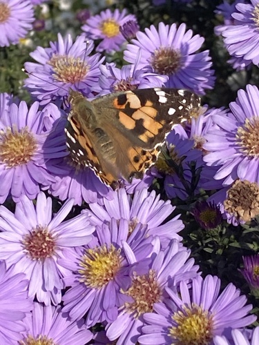
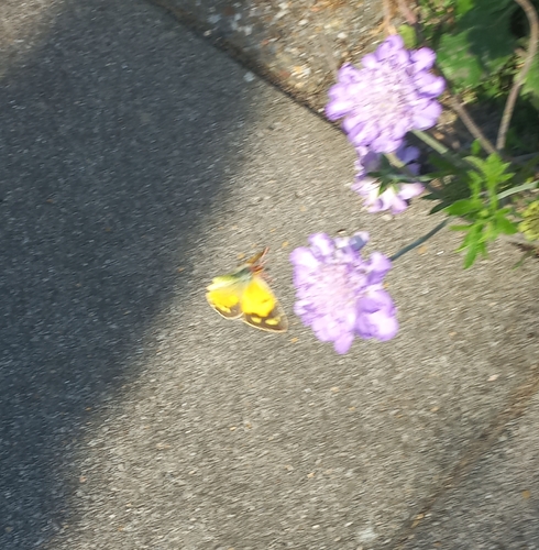
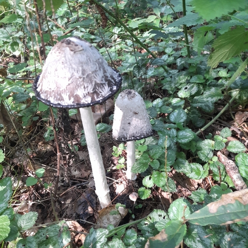
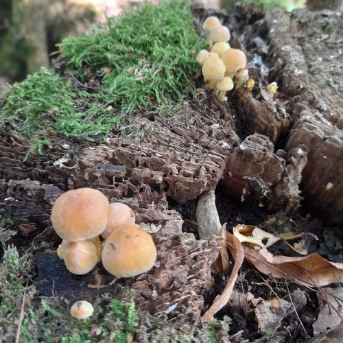
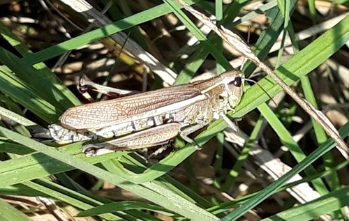
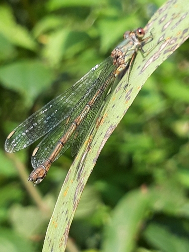
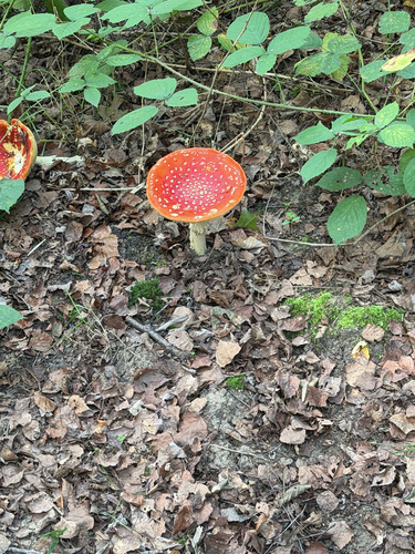
Research-grade observations from iNaturalist (within ~15 mi).
Events
Gallery
Official Identifiers
CBS — Statistics Netherlands
- CBS code
- 0709
- Population (Wikidata)
- 1,180
- Wikidata
- Q34622151
Gemeente codes via Wikidata P382
Sources
- • Wikipedia
- • Open-Meteo (ERA5 reanalysis)
- • Wikidata
- • iNaturalist
- • Open-Meteo / sunrise-sunset.org
- • Wikipedia Pageviews API
- • CBS — Statistics Netherlands, municipality code via Wikidata P382
- • CBS — Statistics Netherlands — Gemeente codes via Wikidata P382