Browse / Netherlands / Overijssel / Enschede
Enschede
Overijsselcity

Enschede
Total population
151,041
Founded
1325
Demographic figures from CBS Netherlands. Overview below cites Wikipedia and may reference a different year.
City facts
Facts from Wikidata (CC0).
Overview
Enschede is a city and municipality in the province of Overijssel and the Twente region of the eastern Netherlands. The east of the urban area reaches the border of the German town of Gronau.
Read more on WikipediaHistory & geography
History
The early history of Enschede is largely unknown, but a settlement existed around the Old Marketplace in early medieval times. The name of this settlement is mentioned as Anescede or Enscede meaning either "near the border" (with Bentheim) or "near the Es" and sported a church, a marketplace and a fortified aristocratic house. Enschede was granted city rights around 1300 which were confirmed in 1325 by Bishop Jan III van Diest and henceforth was allowed to protect itself with a wall. Because a stone wall was too expensive (since stone had to be imported), Enschede had a system of ditches, palisades and hedges instead, which is still reflected in the street-names Noorderhagen and Zuiderhagen (North Hedge and South Hedge, respectively). The city plan of this era is still recognisable in the street-pattern. The city was spared destruction in 1597 at its capture during the Eighty Years' War when after a short siege, the Spanish garrison surrendered the city and the defences were razed. Because the medieval city was largely built of wood and stone houses were the exception, fire was a constant risk and a series of fires in 1517, 1750 and again on 7 May 1862 earned the people from Enschede the nickname Brandstichters (arsonists). The last fire coincided with the start of the growth of the city into a large production center for textiles, stimulating a large increase in population, which by 1894 had reached an estimated 18,267: nineteenth-century urban growth was at first rather chaotic. The names of the slums (like De Krim and Sebastopol) are still notorious, although they have long since been torn down. In 1907 the laissez faire mentality was dropped and Enschede was the first city in the Netherlands to draw up an official expansion plan, incorporating the surrounding…
Geography
Enschede lies in the eastern part of Overijssel and is the easternmost city of more than 140,000 inhabitants in the Netherlands. The city lies a few kilometres from Germany, which borders the municipality. A few small rivers flow through or surround the city, such as the Roombeek and Glanerbeek. Enschede contains five official city districts, which also include surrounding villages in the municipality: *Stadsdeel Centrum (Binnenstad, Boddenkamp, De Bothoven, 't Getfert, Hogeland Noord, Horstlanden-Veldkamp, Laares, Lasonder-'t Zeggelt) *Stadsdeel Noord (for example: Lonneker, Deppenbroek, Bolhaar, Mekkelholt, Roombeek, Twekkelerveld) *Stadsdeel Oost (for example: Wooldrik, Velve-Lindenhof, De Eschmarke, 't Ribbelt, Stokhorst, Dolphia, 't Hogeland and Glanerbrug) *Stadsdeel Zuid (Wesselerbrink, Helmerhoek and Stroinkslanden) *Stadsdeel West (Boswinkel, Ruwenbos, Pathmos, Stadsveld, Bruggert, 't Zwering, 't Havengebied, De Marssteden, Boekelo, Usselo and Twekkelo) Like most of the Netherlands, Enschede features an oceanic climate (Cfb in the Köppen classification), however, winters tend to be less mild than the rest of the Netherlands due to its inland location. Although the former military airport is derelict and plans to revive the place were canceled in 2012, the Royal Netherlands Meteorological Institute still maintains a weather station there.
Excerpted from the corresponding Wikipedia article (CC BY-SA).
Geography
Coordinates & boundaries from the US Census TIGER/Line shapefiles.
Climate
Air quality
Walkability
Amenities nearby
Wildlife & biodiversity
Most-observed species
- Common Wood-PigeonColumba palumbus Linnaeus, 1758 · Aves21,811
- Eurasian Blue TitCyanistes caeruleus (Linnaeus, 1758) · Aves20,011
- Common ChiffchaffPhylloscopus collybita (Vieillot, 1817) · Aves19,719
- Great TitParus major Linnaeus, 1758 · Aves19,697
- Eurasian BlackbirdTurdus merula Linnaeus, 1758 · Aves19,208
- European RobinErithacus rubecula (Linnaeus, 1758) · Aves16,496
- Western JackdawColoeus monedula (Linnaeus, 1758) · Aves16,373
- Eurasian MagpiePica pica (Linnaeus, 1758) · Aves15,513
Citizen-science & research observations from the Global Biodiversity Information Facility (GBIF).
Earthquake history
Most recent
- M 4.2 — 2011-09-083 km ENE of Heijen, Netherlands
- M 4.1 — 2009-07-242 km NW of Kamp-Lintfort, Germany
- M 3.2 — 2008-12-256 km ESE of Rheinberg, Germany
- M 2.9 — 2008-12-232 km ESE of Kamp-Lintfort, Germany
- M 3 — 2008-12-205 km WNW of Beckum, Germany
- M 3.3 — 2008-12-104 km WSW of Wesel, Germany
Events from the USGS Earthquake Catalog (global) (FDSN Event Web Service).
Photos
Sights & places nearby
Notable people from here
Nearby places in Overijssel
- Lonneker2.2 mi away · pop. 1,915
- Usselo2.9 mi away · pop. 275
- Glanerbrug3.2 mi away
- Boekelo4.2 mi away · pop. 2,525
- Glane4.7 mi away · pop. 465
- Hengelo5.3 mi away · pop. 79,798
- Losser5.5 mi away · pop. 13,130
- Buurse5.9 mi away · pop. 1,430
- Deurningen6 mi away · pop. 1,018
- Overdinkel6.1 mi away · pop. 4,125
- Oldenzaal6.4 mi away · pop. 32,006
- Beckum6.5 mi away · pop. 1,001
Geography & sun
Nearby airports
Public attention
Books about this place
Recent natural events nearby
Ground air-quality sensors
Recently spotted species
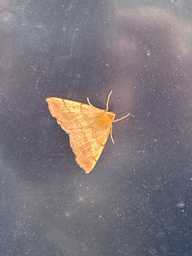
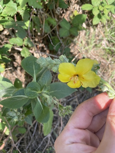
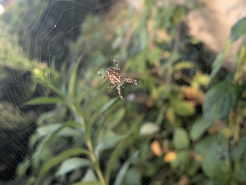
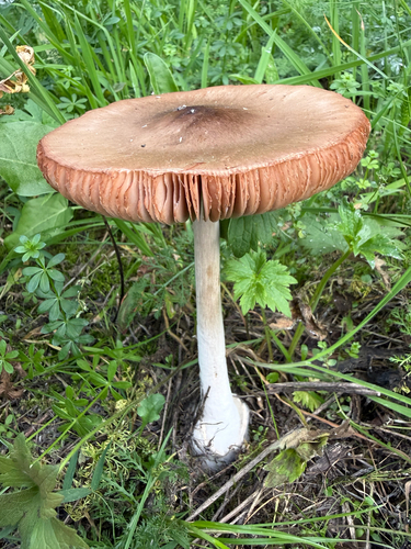
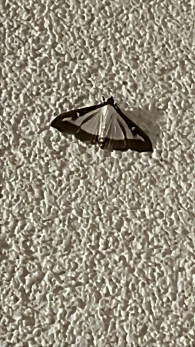
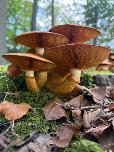
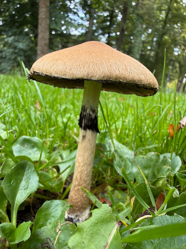
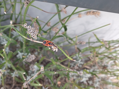
Research-grade observations from iNaturalist (within ~15 mi).
Events
Notable, recurring, and historical events associated with Enschede, sourced from Wikidata.
- 1988 European Conference on Science and TheologyJan 1, 1988recurring event edition
conference on theology and science in 1988
- Q110453491Jun 26, 1965sporting event
Source: Wikidata (CC0).
Gallery
Official Identifiers
CBS — Statistics Netherlands
- CBS code
- 0153
- Population (Wikidata)
- 159,732
- Wikidata
- Q10002
Gemeente codes via Wikidata P382
Sources
- • Wikipedia
- • Wikidata
- • USGS Earthquake Catalog (global feed)
- • GBIF (Global Biodiversity Information Facility)
- • iNaturalist
- • CBS — Statistics Netherlands, municipality code via Wikidata P382
- • CBS — Statistics Netherlands — Gemeente codes via Wikidata P382