Browse / Netherlands / Overijssel / Overdinkel
Overdinkel
Overijsselvillage

Overdinkel
Total population
4,125
Demographic figures from CBS Netherlands. Overview below cites Wikipedia and may reference a different year.
City facts
Overview
Overdinkel is a village in the Twente region of the eastern Netherlands, in the municipality of Losser. It is named for the nearby river Dinkel. Its population in 2012 was 4,255. The territories of the Netherlands and the German Länder of North Rhine-Westphalia and Lower Saxony meet at a point to the east of Overdinkel.
Read more on WikipediaHistory & geography
History
Overdinkel, previously a small farming community in a "solitary plain of heather and sand drifts", was developed in the early 20th century to house workers in the textile factories of Gronau. People from all over the Netherlands and from Germany came to live there. Since the Second World War the textile industry in the region has been in decline, and the village population is forecast also to decline, even though the hospitality industry has grown owing to the proximity of the German border. Overdinkel houses a community of Daughters of Our Lady of the Sacred Heart, founded in 1919.
Excerpted from the corresponding Wikipedia article (CC BY-SA).
Geography
Coordinates & boundaries from the US Census TIGER/Line shapefiles.
Climate
Air quality
Walkability
Amenities nearby
Wildlife & biodiversity
Earthquake history
Photos
Sights & places nearby
Notable people from here


People born within ~10 km, from Wikidata (CC0). Click any name for their Wikipedia article.
Nearby places in Overijssel
- Glane1.4 mi away · pop. 465
- Losser2.3 mi away · pop. 13,130
- Glanerbrug3.1 mi away
- Lonneker5.4 mi away · pop. 1,915
- De Lutte5.8 mi away · pop. 3,765
- Enschede6.1 mi away · pop. 151,041
- Oldenzaal7.1 mi away · pop. 32,006
- Beuningen8.7 mi away · pop. 995
- Usselo8.9 mi away · pop. 275
- Rossum9.3 mi away · pop. 2,317
- Deurningen9.6 mi away · pop. 1,018
- Denekamp9.7 mi away · pop. 9,004
Geography & sun
Elevation, sunrise/sunset and daylight from Open-Meteo. Solar climatology from NASA POWER.
Nearby airports
Public attention
Pageview totals from the Wikimedia Pageviews API.
Books about this place
Recent natural events nearby
Ground air-quality sensors
Recently spotted species
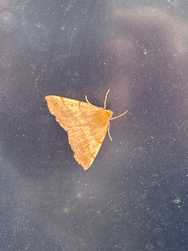
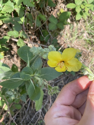
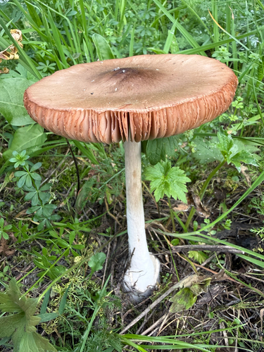

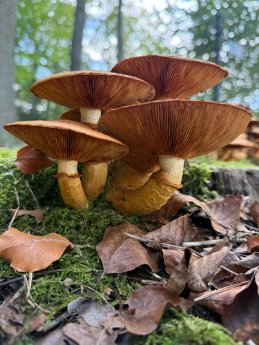
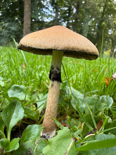
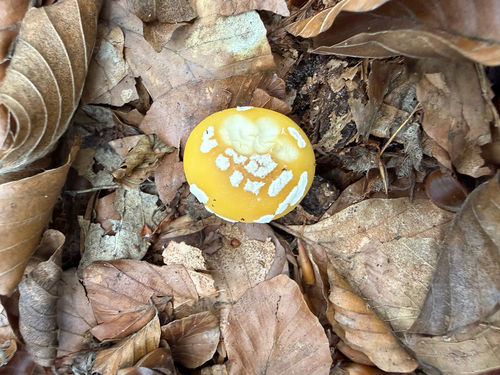
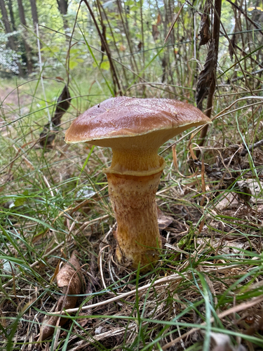
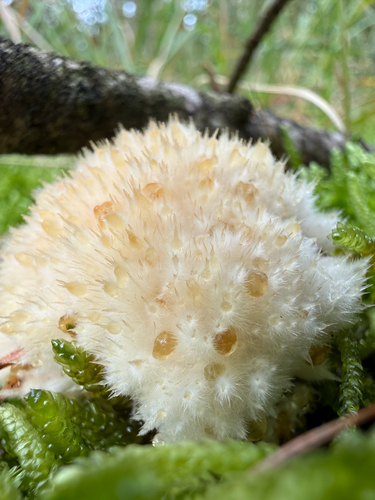
Research-grade observations from iNaturalist (within ~15 mi).
Events
Gallery
Sources
- • Wikipedia
- • Wikidata
- • iNaturalist
- • Open-Meteo / sunrise-sunset.org
- • Wikipedia Pageviews API