Browse / Netherlands / Limburg / Geleen
Geleen
Limburgtown

Geleen
Total population
31,970
Demographic figures from CBS Netherlands. Overview below cites Wikipedia and may reference a different year.
City facts
Overview
Geleen is a city in the southern part of the province of Limburg in the Netherlands. With 31,670 inhabitants in 2020, it is part of the municipality of Sittard-Geleen. Geleen is situated along the river Geleenbeek, a right tributary to the river Meuse. The Latin name for Geleenbeek is Glana, meaning "clear river". The town centre is situated at about 60 m above sea level.
Read more on WikipediaHistory & geography
History
Until the end of the 19th century, Geleen was a very small village. Its population was 2,545 in 1899. The remains of one of the oldest prehistoric farms in the Netherlands were found here. In the 20th century the exploitation of coal mines in this area (the state-owned coal mine "Maurits", the biggest in Europe, was located in Geleen) brought a fast population increase. As part of this growth, a new town hall was designed by J.TH.J. Cuypers in 1922. It was built between the older centres of Opgeleen, Krawinkel and Lutterade, as the starting point for a new centre of the mining municipality of Geleen. During the 1960s and 1970s the Dutch coal mines, which were all located in this part of the province, were closed. The state mining company DSM (privatised in 1989) remained active in Geleen, however, now purely as a chemicals producer. In July 2002, part of DSM's petrochemicals business, located on the manufacturing locations in Geleen and Gelsenkirchen (Germany) were acquired by SABIC Europe.
Excerpted from the corresponding Wikipedia article (CC BY-SA).
Geography
Coordinates & boundaries from the US Census TIGER/Line shapefiles.
Climate
Air quality
Walkability
Amenities nearby
Wildlife & biodiversity
Earthquake history
Photos
Sights & places nearby
Notable people from here


People born within ~10 km, from Wikidata (CC0). Click any name for their Wikipedia article.
Nearby places in Limburg
- Sweikhuizen1.4 mi away · pop. 689
- Neerbeek1.5 mi away · pop. 2,441
- Munstergeleen1.6 mi away · pop. 4,514
- Puth2.1 mi away · pop. 2,006
- Einighausen2.3 mi away · pop. 1,279
- Beek2.3 mi away · pop. 8,456
- Spaubeek2.3 mi away · pop. 3,331
- Sittard2.6 mi away · pop. 37,534
- Elsloo2.8 mi away · pop. 7,200
- Limbricht3 mi away · pop. 2,535
- Guttecoven3.1 mi away · pop. 1,226
- Schinnen3.2 mi away · pop. 2,693
Geography & sun
Elevation, sunrise/sunset and daylight from Open-Meteo. Solar climatology from NASA POWER.
Nearby airports
Public attention
Pageview totals from the Wikimedia Pageviews API.
Books about Geleen
Search results from Open Library.
Recent natural events nearby
Ground air-quality sensors
Recently spotted species
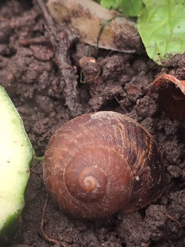
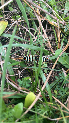
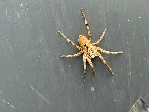


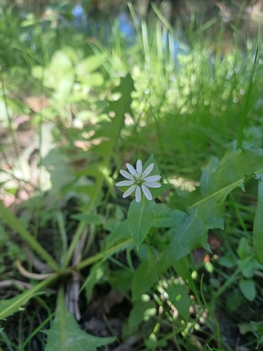
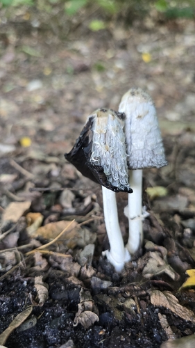
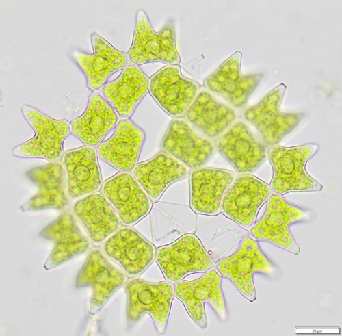
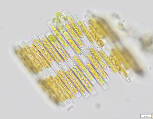
Research-grade observations from iNaturalist (within ~15 mi).
Events
Gallery
Official Identifiers
CBS — Statistics Netherlands
- CBS code
- 0906
- Population (Wikidata)
- 2,106
- Wikidata
- Q73570
Gemeente codes via Wikidata P382
Sources
- • Wikipedia
- • Wikidata
- • iNaturalist
- • Open-Meteo / sunrise-sunset.org
- • Wikipedia Pageviews API
- • Open Library
- • CBS — Statistics Netherlands, municipality code via Wikidata P382
- • CBS — Statistics Netherlands — Gemeente codes via Wikidata P382