Browse / Netherlands / Limburg / Munstergeleen
Munstergeleen
Limburgvillage

Munstergeleen
Total population
4,514
Demographic figures from CBS Netherlands. Overview below cites Wikipedia and may reference a different year.
City facts
Facts from Wikidata (CC0).
Overview
Munstergeleen is a village in the Dutch province of Limburg. It is located in the municipality of Sittard-Geleen, and it lies in the Western Mine Region.
Read more on WikipediaHistory & geography
History
No one knows exactly how Munstergeleen was named. However, it is near the city of Geleen and the Dutch word munster can refer to a monastery. In the second half of the 12th century Munstergeleen was home to a Roman Catholic institution (called a proosdij in Dutch) that was commonly associated with a monastery. Evidence for Munstergeleen's early existence is provided by an explicit mention of Munstergeleen in the records of Cloister of St. Gerlach, in Houthem, Netherlands, in the year 1202. The context of the records makes it clear that Munstergeleen had already existed for some time by the beginning of the 13th century. Munstergeleen was a separate municipality until 1982, when it was merged with Sittard. During the time that it was a separate municipality, Munstergeleen had its own flag consisting of two equally wide stripes of blue and red and a yellow hoist-triangle along the left-hand edge. A white sword symbolizing Saint Pancratius is centered on the blue stripe, a white pair of pliers symbolizing Saint Apollonia is on the red stripe, and a black snakehead cross from the Sittard Coat of Arms is in the yellow hoist-triangle. This flag is depicted at the "Flags of the World" website.
Excerpted from the corresponding Wikipedia article (CC BY-SA).
Geography
Coordinates & boundaries from the US Census TIGER/Line shapefiles.
Climate
Air quality
Walkability
Amenities nearby
Wildlife & biodiversity
Most-observed species
- Common BuzzardButeo buteo (Linnaeus, 1758) · Aves18,001
- Common ChaffinchFringilla coelebs Linnaeus, 1758 · Aves14,499
- Common ChiffchaffPhylloscopus collybita (Vieillot, 1817) · Aves12,901
- Gray/Purple HeronArdea cinerea Linnaeus, 1758 · Aves12,706
- Great Spotted WoodpeckerDendrocopos major (Linnaeus, 1758) · Aves12,444
- Egyptian GooseAlopochen aegyptiaca (Linnaeus, 1766) · Aves11,803
- Great EgretArdea alba Linnaeus, 1758 · Aves11,480
- European StonechatSaxicola rubicola (Linnaeus, 1766) · Aves11,371
Citizen-science & research observations from the Global Biodiversity Information Facility (GBIF).
Earthquake history
Most recent
- M 2.5 — 2021-01-025 km ENE of Eynatten, Belgium
- M 2.9 — 2018-05-251 km S of Reppel, Belgium
- M 2.9 — 2013-01-200 km WNW of Brachterbeek, Netherlands
- M 4.2 — 2011-09-083 km ENE of Heijen, Netherlands
- M 4.1 — 2009-07-242 km NW of Kamp-Lintfort, Germany
- M 3.2 — 2008-12-256 km ESE of Rheinberg, Germany
Events from the USGS Earthquake Catalog (global) (FDSN Event Web Service).
Photos
Sights & places nearby
Notable people from here
Nearby places in Limburg
- Puth1.5 mi away · pop. 2,006
- Sittard1.5 mi away · pop. 37,534
- Geleen1.6 mi away · pop. 31,970
- Sweikhuizen1.8 mi away · pop. 689
- Doenrade2 mi away · pop. 1,123
- Einighausen2.4 mi away · pop. 1,279
- Schinnen2.6 mi away · pop. 2,693
- Oirsbeek2.7 mi away · pop. 3,734
- Limbricht2.7 mi away · pop. 2,535
- Spaubeek2.8 mi away · pop. 3,331
- Guttecoven3.2 mi away · pop. 1,226
- Jabeek3.4 mi away · pop. 707
Geography & sun
Elevation, sunrise/sunset and daylight from Open-Meteo. Solar climatology from NASA POWER.
Nearby airports
Public attention
Pageview totals from the Wikimedia Pageviews API.
Books about this place
Recent natural events nearby
Ground air-quality sensors
Recently spotted species
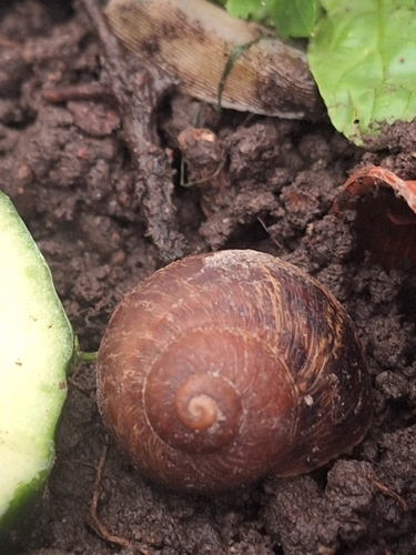
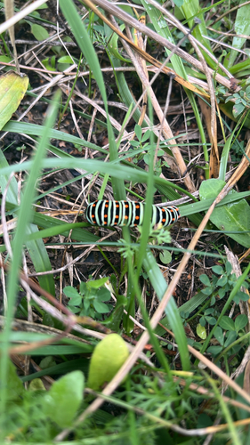
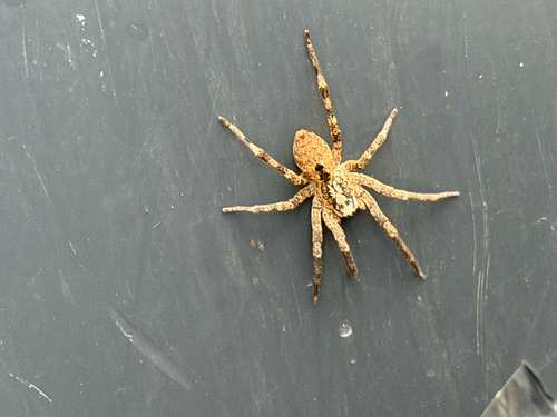
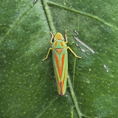
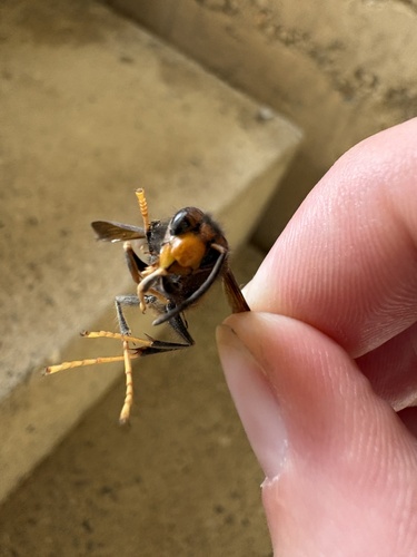
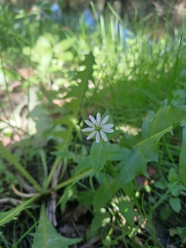
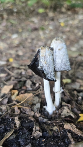
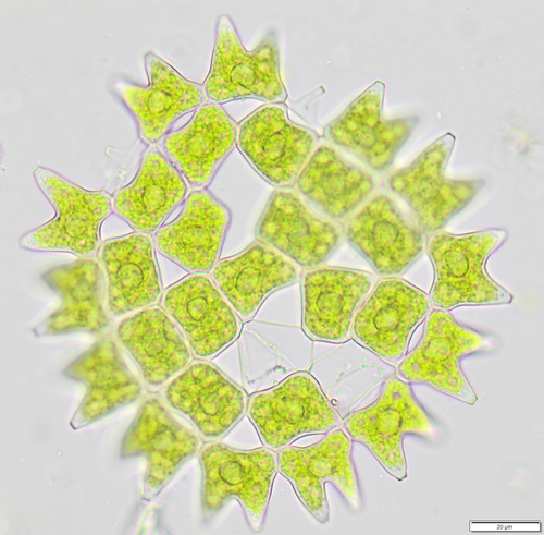
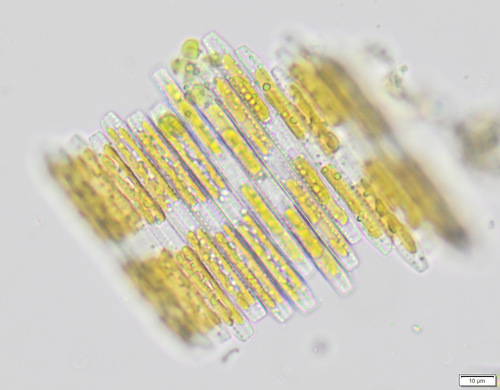
Research-grade observations from iNaturalist (within ~15 mi).
Events
Gallery
Official Identifiers
CBS — Statistics Netherlands
- CBS code
- 0945
- Population (Wikidata)
- 613
- Wikidata
- Q35007805
Gemeente codes via Wikidata P382
Sources
- • Wikipedia
- • Wikidata
- • USGS Earthquake Catalog (global feed)
- • GBIF (Global Biodiversity Information Facility)
- • iNaturalist
- • Open-Meteo / sunrise-sunset.org
- • Wikipedia Pageviews API
- • CBS — Statistics Netherlands, municipality code via Wikidata P382
- • CBS — Statistics Netherlands — Gemeente codes via Wikidata P382