Browse / Netherlands / Utrecht / Leerdam
Leerdam
Utrechttown

Leerdam
Total population
18,255
Demographic figures from CBS Netherlands. Overview below cites Wikipedia and may reference a different year.
City facts
Facts from Wikidata (CC0).
Overview
Leerdam is a city and former municipality in the western Netherlands, in the province of Utrecht. The municipality was merged with the municipalities of Vianen and Zederik on 1 January 2019. The name of the new municipality is Vijfheerenlanden which is a part of the province Utrecht. The former municipality Leerdam was a part of the province South Holland.
Read more on WikipediaHistory & geography
History
Leerdam received city rights in 1407. The small river Linge, bordered by beautiful water meadows, defines the atmosphere and tone of the landscape. Several centuries ago Leerdam formed a part of the Vijfheerenlanden domain, before it was raised to the level of County in 1498. In 1551, Leerdam, together with Acquoy, became property of the House of Orange and part of the County of Holland. The rich history of Leerdam can be found in well-kept historic buildings such as the Grote Kerk (Great Church), the Hofje van Mevrouw van Aerden (Mrs. Aerden Almshouses, now a museum), the remaining and restored city walls on the Zuidwal and the Oude Raadhuis (Old City Hall). In South Africa a fort was built by the Dutch East India Company between 1666 and 1679 in the coastal city Cape Town. It is called Castle of Good Hope. The corners of this fort received names in honour of William of Orange-Nassau and because Leerdam was part of the House of Orange-Nassau one of those corners were named Leerdam.
Excerpted from the corresponding Wikipedia article (CC BY-SA).
Geography
Coordinates & boundaries from the US Census TIGER/Line shapefiles.
Climate
Air quality
Walkability
Amenities nearby
Wildlife & biodiversity
Earthquake history
Photos
Sights & places nearby
Notable people from here


People born within ~10 km, from Wikidata (CC0). Click any name for their Wikipedia article.
Nearby places in Utrecht
- Zijderveld3.9 mi away · pop. 835
- Hoef en Haag6.7 mi away · pop. 815
- Lopikerkapel7.1 mi away · pop. 1,160
- Tienhoven aan de Lek7.8 mi away · pop. 780
- Lopik8.2 mi away · pop. 8,038
- Houten9.7 mi away · pop. 46,050
- Nieuwegein9.9 mi away · pop. 61,869
- De Meern13.2 mi away · pop. 21,316
- Doorn14.5 mi away · pop. 10,067
- Austerlitz15.9 mi away · pop. 1,475
- Groenekan16.1 mi away · pop. 1,870
- Oud-Zuilen16.2 mi away · pop. 620
Geography & sun
Elevation, sunrise/sunset and daylight from Open-Meteo. Solar climatology from NASA POWER.
Nearby airports
Public attention
Pageview totals from the Wikimedia Pageviews API.
Books about Leerdam
Search results from Open Library.
Recent natural events nearby
Ground air-quality sensors
Recently spotted species
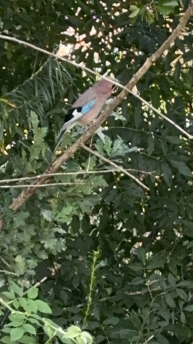

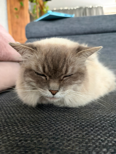
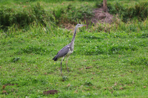
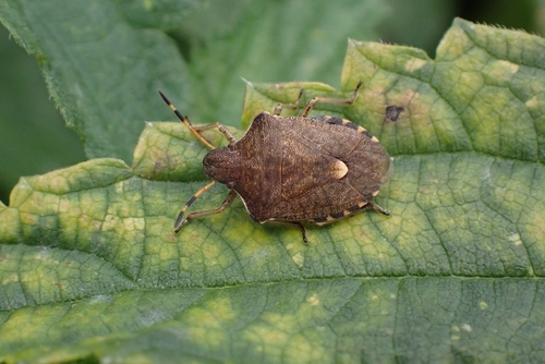
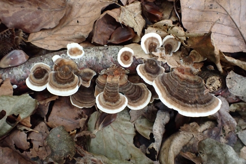


Research-grade observations from iNaturalist (within ~15 mi).
Events
Gallery
Official Identifiers
CBS — Statistics Netherlands
- CBS code
- 0545
- Population (Wikidata)
- 1,831
- Wikidata
- Q388575
Gemeente codes via Wikidata P382
Sources
- • Wikipedia
- • Wikidata
- • iNaturalist
- • Open-Meteo / sunrise-sunset.org
- • Wikipedia Pageviews API
- • Open Library
- • CBS — Statistics Netherlands, municipality code via Wikidata P382
- • CBS — Statistics Netherlands — Gemeente codes via Wikidata P382