Browse / Netherlands / Utrecht / Meerkerk
Meerkerk
Utrechtvillage

Meerkerk
Total population
3,810
Demographic figures from CBS Netherlands. Overview below cites Wikipedia and may reference a different year.
City facts
Overview
Meerkerk is a village in the Dutch province of Utrecht. It is a part of the municipality of Vijfheerenlanden, and lies about 9 km north of Gorinchem.
Read more on WikipediaHistory & geography
History
Not much is known of Meerkerk's early history. According to municipal sources, the town was first mentioned in a clerical document, written in 1266 or 1267AD. The origins of the name 'Meerkerk' (Literally translated: 'Lakechurch') are unclear, though it is probable it derived from 'De Kerk bij het Meer', meaning 'The Church by the Lake', referring to several small strips of land called 'Het Meer' (The Lake). In the early centuries of its existence the village played an important role in regional traffic, due to its favourable location by the river Viaanse Vaart. During the French occupation of the Netherlands in the early 19th century Napoleon Bonaparte ordered the construction of a major road connection between Paris and Amsterdam, passing through Meerkerk as well. According to local legend, the emperor himself once spent some time in Meerkerk during an official visit to the Netherlands. The main road was made by the army of Napoleon, and it was the first road of stone in the region. Meerkerk was a separate municipality in the province of South Holland until 1986, when it became part of Zederik. When Zederik merged into the new municipality Vijfheerenlanden in 2019, it became a part of the province of Utrecht. Since 1886 the Zederik Channel passes the town, maintaining Meerkerk's importance to regional traffic. By the end World War II the municipality expanded its borders, giving the population a chance to increase to some 2500 souls.
Excerpted from the corresponding Wikipedia article (CC BY-SA).
Geography
Coordinates & boundaries from the US Census TIGER/Line shapefiles.
Climate
Air quality
Walkability
Amenities nearby
Wildlife & biodiversity
Most-observed species
- Eurasian BlackbirdTurdus merula Linnaeus, 1758 · Aves29,863
- Eurasian CootFulica atra Linnaeus, 1758 · Aves29,177
- Common ChiffchaffPhylloscopus collybita (Vieillot, 1817) · Aves27,960
- muskratOndatra zibethicus (Linnaeus, 1766) · Mammalia27,304
- Great TitParus major Linnaeus, 1758 · Aves26,277
- MallardAnas platyrhynchos Linnaeus, 1758 · Aves26,050
- Gray/Purple HeronArdea cinerea Linnaeus, 1758 · Aves25,277
- Common Wood-PigeonColumba palumbus Linnaeus, 1758 · Aves24,733
Citizen-science & research observations from the Global Biodiversity Information Facility (GBIF).
Earthquake history
Most recent
- M 2.9 — 2018-05-251 km S of Reppel, Belgium
- M 4.2 — 2011-09-083 km ENE of Heijen, Netherlands
- M 2.9 — 2008-10-1119 km WNW of Egmond aan Zee, Netherlands
- M 2.8 — 2002-10-212 km ENE of Tongerlo, Belgium
- M 2.9 — 2001-09-251 km NE of Oirlo, Netherlands
Events from the USGS Earthquake Catalog (global) (FDSN Event Web Service).
Photos
Sights & places nearby
Notable people from here


People born within ~10 km, from Wikidata (CC0). Click any name for their Wikipedia article.
Nearby places in Utrecht
- Tienhoven aan de Lek3.5 mi away · pop. 780
- Lopik4.1 mi away · pop. 8,038
- Lopikerkapel5.3 mi away · pop. 1,160
- Zijderveld6.2 mi away · pop. 835
- Hoef en Haag7 mi away · pop. 815
- Nieuwegein8.8 mi away · pop. 61,869
- De Meern11.2 mi away · pop. 21,316
- Oud-Zuilen14.6 mi away · pop. 620
- Groenekan15.4 mi away · pop. 1,870
- Doorn16.7 mi away · pop. 10,067
- Bosch en Duin16.7 mi away · pop. 1,635
- Austerlitz17.3 mi away · pop. 1,475
Geography & sun
Elevation, sunrise/sunset and daylight from Open-Meteo. Solar climatology from NASA POWER.
Nearby airports
Public attention
Pageview totals from the Wikimedia Pageviews API.
Books about this place
Recent natural events nearby
Ground air-quality sensors
Recently spotted species
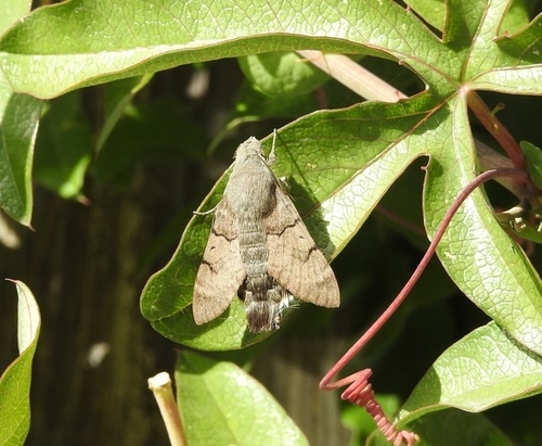
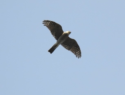
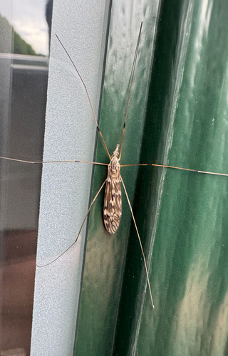
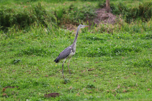
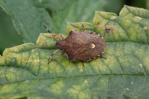
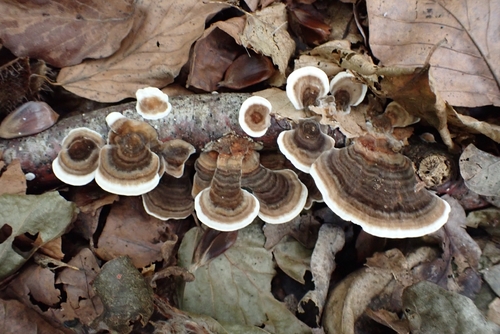
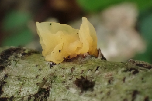
Research-grade observations from iNaturalist (within ~15 mi).
Events
Gallery
Official Identifiers
CBS — Statistics Netherlands
- CBS code
- 0557
- Population (Wikidata)
- 991
- Wikidata
- Q2774284
Gemeente codes via Wikidata P382
Sources
- • Wikipedia
- • Wikidata
- • USGS Earthquake Catalog (global feed)
- • GBIF (Global Biodiversity Information Facility)
- • iNaturalist
- • Open-Meteo / sunrise-sunset.org
- • Wikipedia Pageviews API
- • CBS — Statistics Netherlands, municipality code via Wikidata P382
- • CBS — Statistics Netherlands — Gemeente codes via Wikidata P382