Browse / Netherlands / Utrecht / Mijdrecht
Mijdrecht
Utrechttown

Mijdrecht
Total population
16,275
Demographic figures from CBS Netherlands. Overview below cites Wikipedia and may reference a different year.
City facts
Overview
Mijdrecht is a town in the Netherlands with about 16,000 residents. It is located in the municipality of De Ronde Venen, about 7 kilometres (4.3 mi) west of the main A2 motorway, between Utrecht and Amsterdam.
Read more on WikipediaHistory & geography
History
In 1085 the parish of Mijdrecht, together with those of Wilnis, Tamen, Zevenhoven en Kudelstaart, was granted to the Deaconate of St. John (Proosdij van Sint-Jan), by Conrad, the Prince-bishop of Utrecht, in return for a depot in the Holland-Utrecht border region and the guarantee that the deaconate would develop the rugged terrain for habitation. 1085 is the year taken as the founding of the municipality of Mijdrecht. In 1815, soon after the French-Batavian period, the mayor of Mijdrecht, Hendrikus Abraham van Doorn van Noordscharwoude, submitted a questionnaire to the Minister of War. The questionnaire, about local conditions, reported a population of 3,000, including 5 carpenters, 2 smiths, 1 brazier, 2 brick-layers, 6 bakers, 8 tailors, and 6 cobblers. Most parts of the town (like Hofland-Noord and Molenland) were built after 1980. In 1989 the municipality of Mijdrecht was merged into De Ronde Venen. The city has continued to grow through "Wickelhof I and II" expansions.
Excerpted from the corresponding Wikipedia article (CC BY-SA).
Geography
Coordinates & boundaries from the US Census TIGER/Line shapefiles.
Climate
Air quality
Walkability
Amenities nearby
Wildlife & biodiversity
Earthquake history
Photos
Sights & places nearby
Notable people from here


People born within ~10 km, from Wikidata (CC0). Click any name for their Wikipedia article.
Nearby places in Utrecht
- Amstelhoek2.2 mi away · pop. 995
- Baambrugge6.1 mi away · pop. 1,370
- Nieuwersluis6.1 mi away · pop. 475
- Loenen aan de Vecht6.6 mi away · pop. 4,390
- Maarssen8.8 mi away · pop. 38,560
- Tienhoven9.6 mi away · pop. 1,745
- Oud-Zuilen10.2 mi away · pop. 620
- De Meern11.3 mi away · pop. 21,316
- Groenekan13.4 mi away · pop. 1,870
- Hollandsche Rading13.4 mi away · pop. 1,592
- Nieuwegein14.9 mi away · pop. 61,869
- Lage Vuursche15.3 mi away · pop. 285
Geography & sun
Elevation, sunrise/sunset and daylight from Open-Meteo. Solar climatology from NASA POWER.
Nearby airports
Public attention
Pageview totals from the Wikimedia Pageviews API.
Books about Mijdrecht

Search results from Open Library.
Recent natural events nearby
Ground air-quality sensors
Recently spotted species
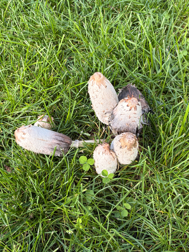
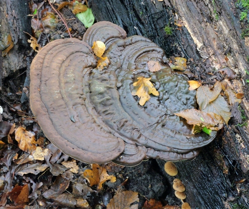

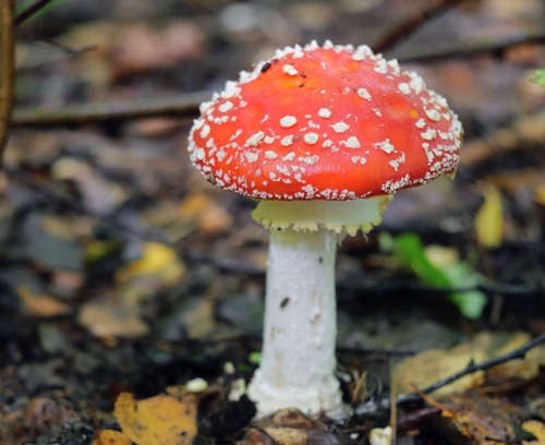


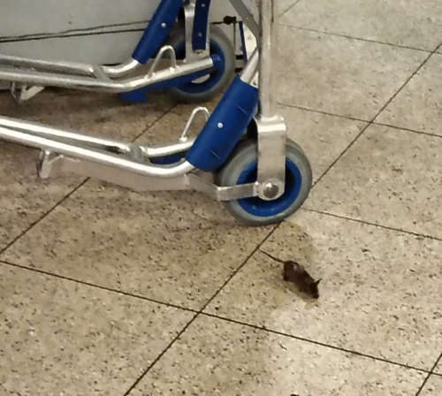
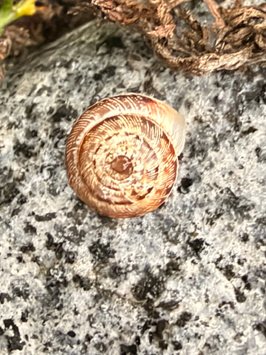
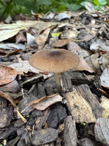
Research-grade observations from iNaturalist (within ~15 mi).
Events
Gallery
Official Identifiers
CBS — Statistics Netherlands
- CBS code
- 0336
- Population (Wikidata)
- 1,960
- Wikidata
- Q666498
Gemeente codes via Wikidata P382
Sources
- • Wikipedia
- • Wikidata
- • iNaturalist
- • Open-Meteo / sunrise-sunset.org
- • Wikipedia Pageviews API
- • Open Library
- • CBS — Statistics Netherlands, municipality code via Wikidata P382
- • CBS — Statistics Netherlands — Gemeente codes via Wikidata P382