Browse / Netherlands / Utrecht / Nigtevecht
Nigtevecht
Utrechtvillage

Nigtevecht
Total population
1,565
Demographic figures from CBS Netherlands. Overview below cites Wikipedia and may reference a different year.
City facts
Overview
Nigtevecht is a village in the province of Utrecht, Netherlands with a population of 1,395. Formerly part of the municipality of Loenen; it has been part of the newly-formed municipality of Stichtse Vecht since 2011. It is situated about 9 km (5.6 mi) west of Bussum along the Vecht River in the Vechtstreek.
Read more on WikipediaHistory & geography
History
The village was first mentioned between 1280 and 1287 as te nichtevecht, and means "along the Vecht. Nigtevecht developed along the dike of the river with the church in the centre. In 1673, the village and church were destroyed by the French. Several estates have been built near Nigtevecht by Amsterdam merchants. Nigtevecht was home to 409 people in 1840. Fort Hinderdam is a little fort on a river island. It used to be part of the Dutch Water Line. In 1913, it became part of the Stelling van Amsterdam. The fort is now in ruins and the island has become a nature area.
Excerpted from the corresponding Wikipedia article (CC BY-SA).
Geography
Coordinates & boundaries from the US Census TIGER/Line shapefiles.
Climate
Air quality
Walkability
Amenities nearby
Wildlife & biodiversity
Earthquake history
Photos
Sights & places nearby
Notable people from here


People born within ~10 km, from Wikidata (CC0). Click any name for their Wikipedia article.
Nearby places in Utrecht
- Baambrugge2.4 mi away · pop. 1,370
- Loenen aan de Vecht4.4 mi away · pop. 4,390
- Nieuwersluis5.4 mi away · pop. 475
- Tienhoven7.6 mi away · pop. 1,745
- Amstelhoek8.7 mi away · pop. 995
- Hollandsche Rading9.1 mi away · pop. 1,592
- Maarssen9.4 mi away · pop. 38,560
- Oud-Zuilen10.2 mi away · pop. 620
- Lage Vuursche10.5 mi away · pop. 285
- Groenekan11.6 mi away · pop. 1,870
- De Meern13.3 mi away · pop. 21,316
- Bosch en Duin14.3 mi away · pop. 1,635
Geography & sun
Elevation, sunrise/sunset and daylight from Open-Meteo. Solar climatology from NASA POWER.
Nearby airports
Public attention
Pageview totals from the Wikimedia Pageviews API.
Books about Nigtevecht
Search results from Open Library.
Recent natural events nearby
Ground air-quality sensors
Recently spotted species

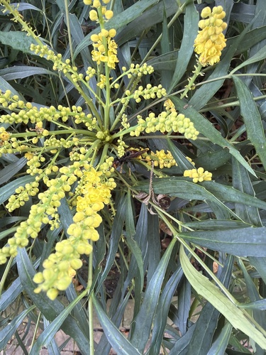
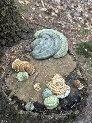
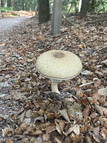
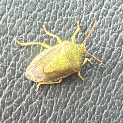
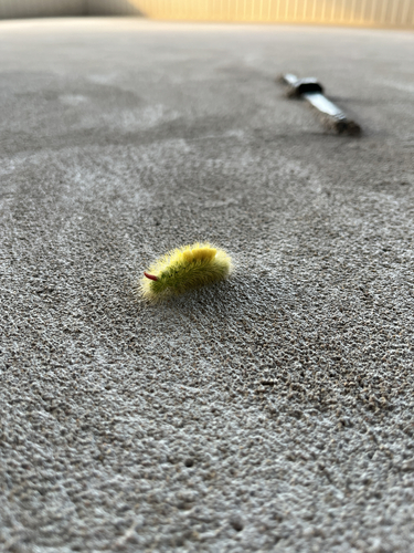
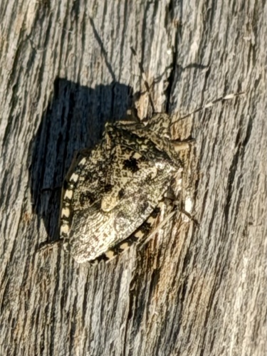
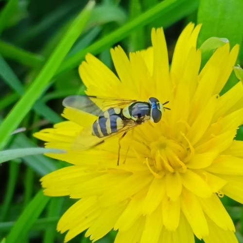
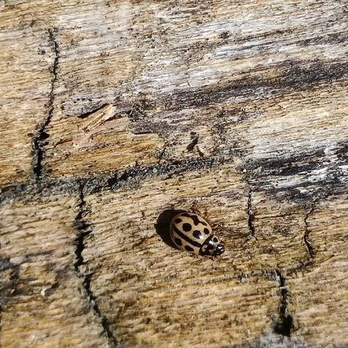
Research-grade observations from iNaturalist (within ~15 mi).
Events
Gallery
Official Identifiers
CBS — Statistics Netherlands
- CBS code
- 0337
- Population (Wikidata)
- 397
- Wikidata
- Q3117041
Gemeente codes via Wikidata P382
Sources
- • Wikipedia
- • Wikidata
- • iNaturalist
- • Open-Meteo / sunrise-sunset.org
- • Wikipedia Pageviews API
- • Open Library
- • CBS — Statistics Netherlands, municipality code via Wikidata P382
- • CBS — Statistics Netherlands — Gemeente codes via Wikidata P382