Browse / Netherlands / Overijssel / Nijverdal
Nijverdal
Overijsseltown

Nijverdal
Total population
24,821
Demographic figures from CBS Netherlands. Overview below cites Wikipedia and may reference a different year.
City facts
Overview
Nijverdal is a town of approximately 25,000 inhabitants in the Dutch province of Overijssel. It is the commercial centre and largest town within the municipality Hellendoorn.
Read more on WikipediaHistory & geography
History
Before World War II, Nijverdal had a small Jewish community. The municipal seat of the area, Hellendoorn, had a small synagogue and Jewish cemetery. The synagogue still exists as a storage shed behind one of the houses in the village, and the cemetery is no longer in use. It has about 20 graves, most from the nineteenth century and early 20th century. The municipality maintains the cemetery and protects it from vandalism. The Jewish community was essentially erased by the Holocaust. Most of its members were murdered in Sobibor or Auschwitz. On 22 March 1945, Nijverdal was severely bombed by American bombers who were originally targeting the German town of Groß Reken, but due to a shortage of fuel, the commander decided to change the target to a different strategic location. This location was the Zwolle-Almelo railway passing through Nijverdal. Over 73 people were killed, mainly at the Grotestraat and Rijssensestraat. Many people were out shopping and gardening that day due to the sunny weather conditions. In 1955, part of the municipality of Wierden was annexed (Eversberg, Konijnenbelt, Slettenhaar and Lochter) which is the only part of the municipality located on originally Twente soil. In the late 70's the quarter of 'Groot Lochter' arose here.
Excerpted from the corresponding Wikipedia article (CC BY-SA).
Geography
Coordinates & boundaries from the US Census TIGER/Line shapefiles.
Climate
Air quality
Walkability
Amenities nearby
Wildlife & biodiversity
Earthquake history
Photos
Sights & places nearby
Notable people from here


People born within ~10 km, from Wikidata (CC0). Click any name for their Wikipedia article.
Nearby places in Overijssel
- Hulsen1.5 mi away · pop. 700
- Hellendoorn2.3 mi away · pop. 6,217
- Haarle3.6 mi away · pop. 2,135
- Rijssen4.3 mi away · pop. 28,848
- Luttenberg5.3 mi away · pop. 2,168
- Wierden5.4 mi away · pop. 14,775
- Nieuw Heeten5.5 mi away · pop. 1,144
- Holten5.6 mi away · pop. 9,260
- Daarle5.9 mi away · pop. 1,445
- Mariënheem6.2 mi away · pop. 1,461
- Enter6.5 mi away · pop. 7,140
- Lemele6.9 mi away · pop. 1,340
Geography & sun
Elevation, sunrise/sunset and daylight from Open-Meteo. Solar climatology from NASA POWER.
Nearby airports
Public attention
Pageview totals from the Wikimedia Pageviews API.
Books about this place
Recent natural events nearby
Ground air-quality sensors
Recently spotted species
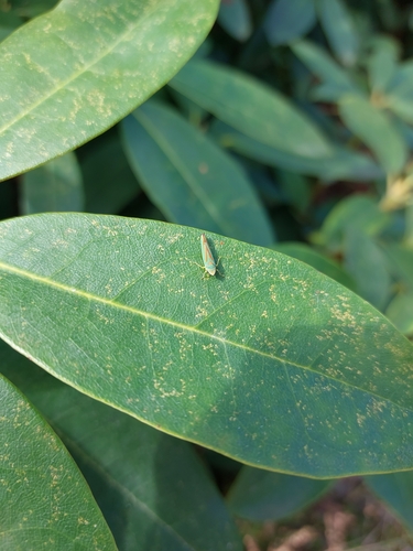
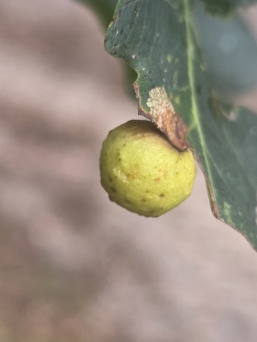
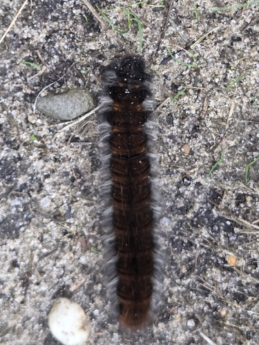
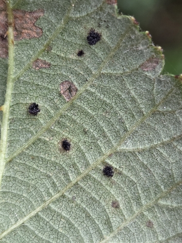
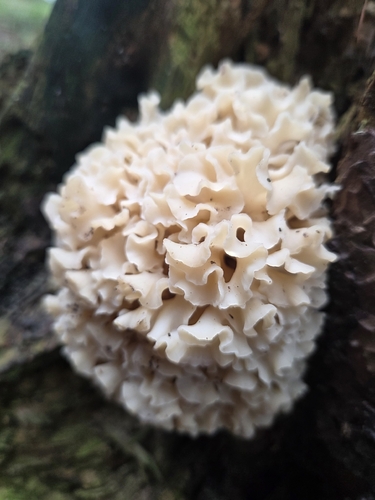
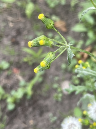
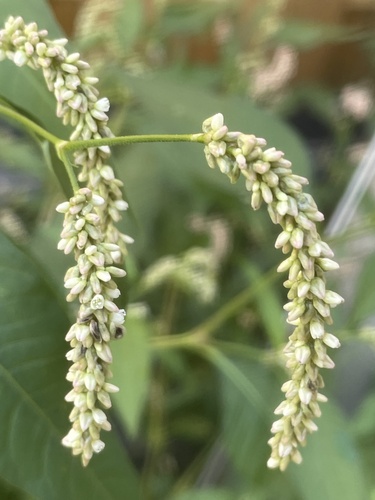
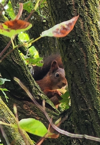
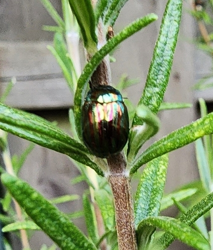
Research-grade observations from iNaturalist (within ~15 mi).
Events
Gallery
Sources
- • Wikipedia
- • Wikidata
- • iNaturalist
- • Open-Meteo / sunrise-sunset.org
- • Wikipedia Pageviews API