Browse / Netherlands / Overijssel / Rijssen
Rijssen
Overijsseltown

Rijssen
Total population
28,848
Demographic figures from CBS Netherlands. Overview below cites Wikipedia and may reference a different year.
City facts
Overview
Rijssen is a city in the Dutch province of Overijssel. It is part of Rijssen-Holten, one of thirteen municipalities in Twente. It has almost 28,000 inhabitants. The economy of Rijssen relies mostly on commerce and construction and transport companies.
Read more on WikipediaHistory & geography
History
Archeological evidence shows that the monk Lebuinus founded a church in Rijssen, as early as the seventh century, as part of a coordinated attempt to convert the local pagan Saxons to Christianity, though other archaeological finds, such as urns and grave mounds suggest habitation dating back as far as 5,000 years. Rijssen was first mentioned as Parrochia Risnen on a freight letter dating from 1188 by the Count of Dalen. After having a disagreement with the Viscount of Goor, Bishop Otto III van Holland granted city rights to Rijssen on 5 May 1243. The original city rights bill was lost in a large fire that swept through the town, reducing the town hall and the keep to rubble. In 2006, however, a copy was given to the newly instated town council. In the 14th century, Rijssen entered the Hanseatic league. Of the old town, only a church and a few houses dating from the eighteenth century remain. From 1580 to 1584, Rijssen suffered greatly from the Eighty Years' War. The city of Deventer was under the state's command, while the town of Oldenzaal was under Spanish command. The two opposing parties would often meet halfway for battle, around Rijssen. The 18th century saw the rise of the Industrial Revolution in Rijssen. Many farmers participated in textile manufacturing; whole families, women and children, were involved in this trade, often under poor conditions. In the 19th and early 20th century, Rijssen, like many other towns in the Netherlands, saw the introduction of power looms. This spearheaded the local Ter Horst factory among the regional top jute producers. These however went bankrupt in the 1970s due to overpowering Asian competition. Factory workers were forced to find other means of income and many started their own businesses, either in transport or in…
Excerpted from the corresponding Wikipedia article (CC BY-SA).
Geography
Coordinates & boundaries from the US Census TIGER/Line shapefiles.
Climate
Air quality
Walkability
Amenities nearby
Wildlife & biodiversity
Earthquake history
Photos
Sights & places nearby
Notable people from here


People born within ~10 km, from Wikidata (CC0). Click any name for their Wikipedia article.
Nearby places in Overijssel
- Enter2.5 mi away · pop. 7,140
- Nijverdal4.3 mi away · pop. 24,821
- Wierden4.6 mi away · pop. 14,775
- Holten4.6 mi away · pop. 9,260
- Markelo5.2 mi away · pop. 7,308
- Hulsen5.4 mi away · pop. 700
- Bornerbroek5.7 mi away · pop. 1,827
- Goor5.8 mi away · pop. 12,141
- Aadorp6.5 mi away · pop. 1,520
- Hellendoorn6.5 mi away · pop. 6,217
- Haarle6.9 mi away · pop. 2,135
- Almelo6.9 mi away · pop. 69,174
Geography & sun
Elevation, sunrise/sunset and daylight from Open-Meteo. Solar climatology from NASA POWER.
Nearby airports
Public attention
Pageview totals from the Wikimedia Pageviews API.
Books about Rijssen
Search results from Open Library.
Recent natural events nearby
Ground air-quality sensors
Recently spotted species
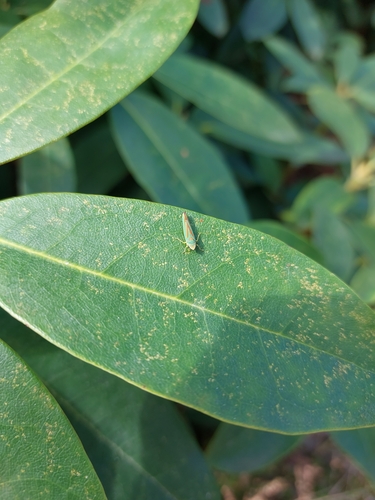
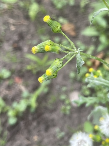
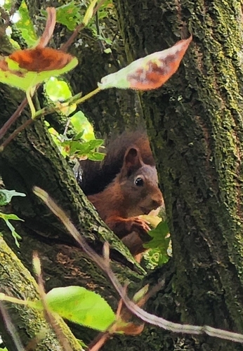
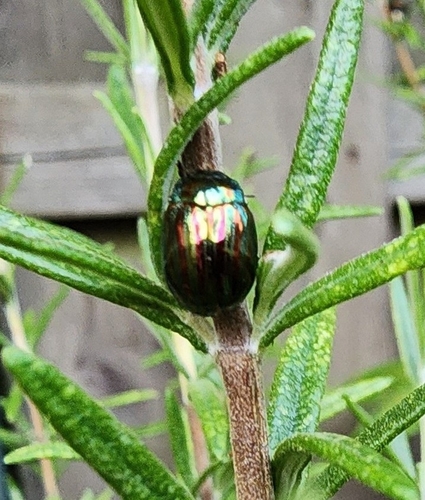
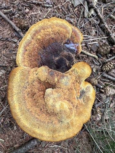
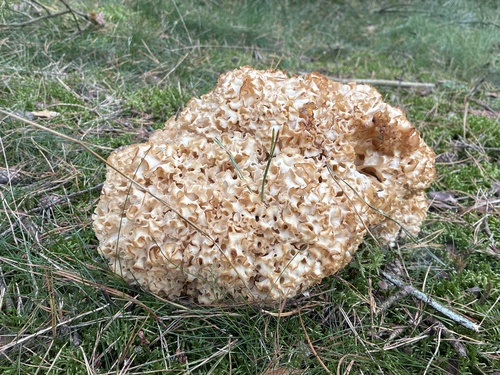
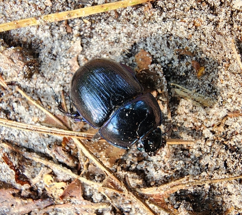
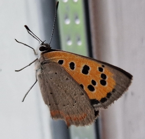
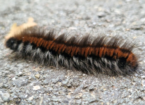
Research-grade observations from iNaturalist (within ~15 mi).
Events
Gallery
Official Identifiers
CBS — Statistics Netherlands
- CBS code
- 0178
- Population (Wikidata)
- 2,125
- Wikidata
- Q494359
Gemeente codes via Wikidata P382
Sources
- • Wikipedia
- • Wikidata
- • iNaturalist
- • Open-Meteo / sunrise-sunset.org
- • Wikipedia Pageviews API
- • Open Library
- • CBS — Statistics Netherlands, municipality code via Wikidata P382
- • CBS — Statistics Netherlands — Gemeente codes via Wikidata P382