Browse / Netherlands / Drenthe / Odoorn
Odoorn
Drenthevillage

Odoorn
Total population
1,858
Demographic figures from CBS Netherlands. Overview below cites Wikipedia and may reference a different year.
City facts
Overview
Odoorn is a village in the Dutch province of Drenthe. It is a part of the municipality of Borger-Odoorn, and lies about nine km north of Emmen.
Read more on WikipediaHistory & geography
History
The village was first mentioned in 1327 as "Remboldus in Oderen". It is assumed it means "settlement of the people of Odheri (person)", because older forms often used the suffix -ing. Odoorn is an esdorp which developed in the Early Middle Ages on the Hondsrug along the road from Groningen to Coevorden. In the 13th century, a daughter church of Anloo was established in the village, and it developed into the central settlement for the satellites Valthe and Exloo. The Dutch Reformed church was built around 1200 and is built using many large stones. Some of the stones have probably been taken from nearby hunebedden (dolmen). The church suffered a collapse in 1634. It was extensively modified between 1856 and 1857. In 1897, it was restored after a fire. Odoorn was home to 348 people in 1840. On 22 July 1945, three children were playing with left-over German ammunition, and they were killed when the ammunition exploded. In 1997, a memorial was placed at the site. Odoorn was a separate municipality until 1998, when it merged with Borger.
Excerpted from the corresponding Wikipedia article (CC BY-SA).
Geography
Coordinates & boundaries from the US Census TIGER/Line shapefiles.
Climate
Air quality
Walkability
Amenities nearby
Wildlife & biodiversity
Earthquake history
Photos
Sights & places nearby
Notable people from here


People born within ~10 km, from Wikidata (CC0). Click any name for their Wikipedia article.
Nearby places in Drenthe
- Klijndijk1.5 mi away · pop. 737
- Odoornerveen2 mi away · pop. 416
- Valthe2 mi away · pop. 1,239
- Exloo2.3 mi away · pop. 1,641
- Weerdinge3.7 mi away · pop. 597
- Schoonoord3.8 mi away · pop. 2,145
- Ees4.2 mi away · pop. 353
- De Kiel4.3 mi away · pop. 370
- Noord-Sleen4.5 mi away · pop. 565
- Emmen4.8 mi away · pop. 56,113
- 2e Exloërmond5.3 mi away · pop. 2,368
- Wezuperbrug5.3 mi away · pop. 225
Geography & sun
Elevation, sunrise/sunset and daylight from Open-Meteo. Solar climatology from NASA POWER.
Nearby airports
Public attention
Pageview totals from the Wikimedia Pageviews API.
Books about Odoorn
Search results from Open Library.
Recent natural events nearby
Ground air-quality sensors
Recently spotted species
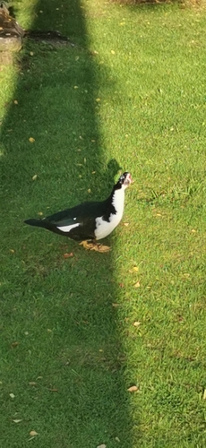




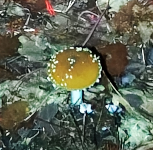
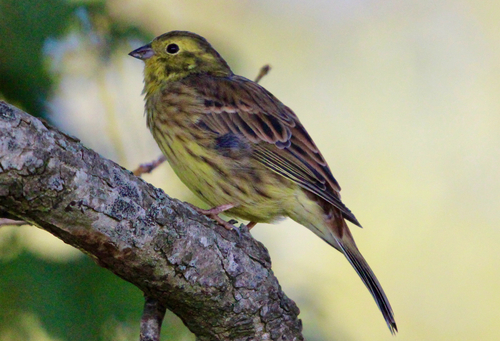


Research-grade observations from iNaturalist (within ~15 mi).
Events
Gallery
Official Identifiers
CBS — Statistics Netherlands
- CBS code
- 0122
- Population (Wikidata)
- 650
- Wikidata
- Q2694139
Gemeente codes via Wikidata P382
Sources
- • Wikipedia
- • Wikidata
- • iNaturalist
- • Open-Meteo / sunrise-sunset.org
- • Wikipedia Pageviews API
- • Open Library
- • CBS — Statistics Netherlands, municipality code via Wikidata P382
- • CBS — Statistics Netherlands — Gemeente codes via Wikidata P382