Browse / Netherlands / Drenthe / Valthe
Valthe
Drenthevillage

Valthe
Total population
1,239
Demographic figures from CBS Netherlands. Overview below cites Wikipedia and may reference a different year.
City facts
Overview
Valthe is a village in the Dutch province of Drenthe. It is a part of the municipality of Borger-Odoorn, and lies about 8 km north of Emmen.
Read more on WikipediaHistory & geography
History
The village was first mentioned in 1217 as "in Valten", and probably means "cow shed". Valthe is an esdorp which developed in the Middle Ages. It is possibly daughter settlement of Odoorn. The village centre is called Oud-Valthe and did not have a church, but was encircled by five essen (communal pastures). In 1621, the Valtherschans was constructed. It was sconce to defend Drenthe against invasion. In 1665, Christoph Bernhard von Galen, the Prince-Bishop of Münster, tried to take the sconce but failed. The sconce was later neglected and disappeared from the landscape. In 1930, the small Bethel church was built in expressionist style. There were five hunebedden (dolmen) near Exloo: D33 to D37. D36 and D37 are twins which are located on the south side of the village. They are in a neglected state and the capstones of D36 have fallen off.
Excerpted from the corresponding Wikipedia article (CC BY-SA).
Geography
Coordinates & boundaries from the US Census TIGER/Line shapefiles.
Climate
Air quality
Walkability
Amenities nearby
Wildlife & biodiversity
Earthquake history
Photos
Sights & places nearby
Notable people from here


People born within ~10 km, from Wikidata (CC0). Click any name for their Wikipedia article.
Nearby places in Drenthe
- Klijndijk1.5 mi away · pop. 737
- Weerdinge1.9 mi away · pop. 597
- Odoorn2 mi away · pop. 1,858
- Exloo3 mi away · pop. 1,641
- Odoornerveen3.5 mi away · pop. 416
- Emmen3.7 mi away · pop. 56,113
- Nieuw-Weerdinge4.2 mi away · pop. 3,393
- Valthermond4.7 mi away · pop. 3,375
- 2e Exloërmond4.8 mi away · pop. 2,368
- Noord-Sleen5.2 mi away · pop. 565
- Schoonoord5.7 mi away · pop. 2,145
- Ees5.7 mi away · pop. 353
Geography & sun
Elevation, sunrise/sunset and daylight from Open-Meteo. Solar climatology from NASA POWER.
Nearby airports
Public attention
Pageview totals from the Wikimedia Pageviews API.
Books about this place
Recent natural events nearby
Ground air-quality sensors
Recently spotted species
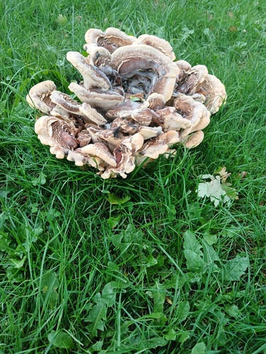
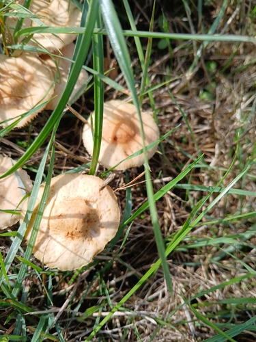
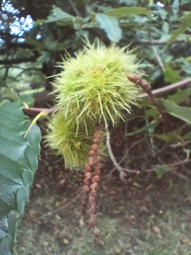
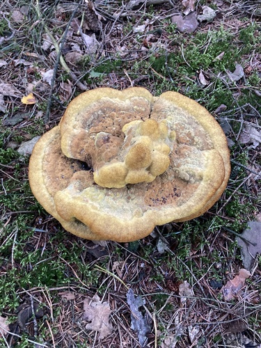
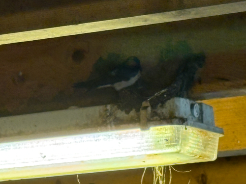
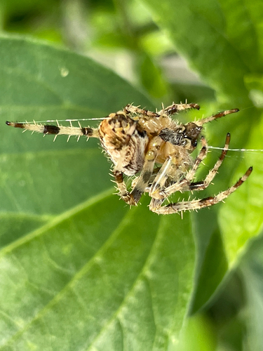

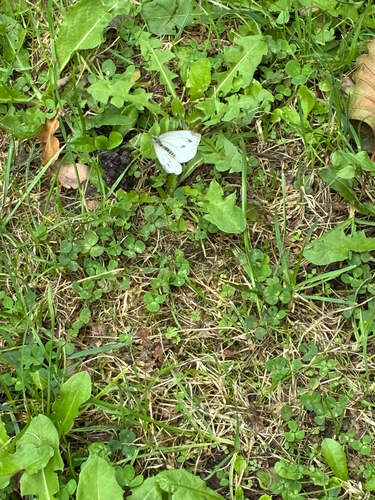
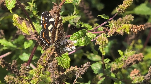
Research-grade observations from iNaturalist (within ~15 mi).
Events
Gallery
Sources
- • Wikipedia
- • Wikidata
- • iNaturalist
- • Open-Meteo / sunrise-sunset.org
- • Wikipedia Pageviews API