Browse / Netherlands / Utrecht / Oudewater
Oudewater
Utrechtvillage

Oudewater
Total population
8,280
Demographic figures from CBS Netherlands. Overview below cites Wikipedia and may reference a different year.
City facts
Facts from Wikidata (CC0).
Overview
Oudewater is a municipality and a city in the Netherlands.
Read more on WikipediaHistory & geography
History
The origin of the town of Oudewater is obscure and no information has been found concerning the first settlement of citizens. It is also difficult to recover the name of Oudewater. One explanation is that the name is a corruption of old water-meadow. Oudewater was an important border city between Holland and Utrecht. Oudewater (lit. "Old water") was of great strategic importance. The town was granted city rights in 1265 by Hendrik van Vianden, the bishop of Utrecht. Oudewater took its place in the First Free States council in Dordrecht on 19 July 1572, Oudewater was one of the twelve cities taking part in the first free convention of the States General in Dordrecht. This was a meeting that laid down the origin of the State of the Netherlands, as we know it now, under the leadership of the House of Orange. This happened at the beginning of the Eighty Years' War (1568–1648) when the Netherlands were still part of the Spanish Empire. After a Siege of Oudewater, the city was conquered by the Spanish on 7 August 1575, and most of its inhabitants were killed, including the family of famous Oudewater native and Protestant theologian Jacobus Arminius (1560–1609). In the 16th and 17th century, Oudewater was an important producer of rope. In the surrounding area, hemp was cultivated. There still is a rope manufacturing plant and a rope museum in the town. In 1970 the municipality of Oudewater moved from the province of South Holland to the province of Utrecht.
Geography
Oudewater is located at in the southwest of the province of Utrecht in the center of the Netherlands. It is situated where the Linschoten river flows out in the Hollandse IJssel. Oudewater is bordered by the municipalities of Montfoort (in the northeast), Lopik (southeast), Krimpenerwaard (southwest), and Bodegraven-Reeuwijk (northwest). The municipality of Oudewater consists of the following cities, towns, villages and/or districts: Diemerbroek, Hekendorp, Hoenkoop, Lange Linschoten, Oudewater, Papekop, Ruigeweide, and Snelrewaard.
Excerpted from the corresponding Wikipedia article (CC BY-SA).
Geography
Coordinates & boundaries from the US Census TIGER/Line shapefiles.
Climate
Air quality
Walkability
Amenities nearby
Wildlife & biodiversity
Earthquake history
Photos
Sights & places nearby
Notable people from here


People born within ~10 km, from Wikidata (CC0). Click any name for their Wikipedia article.
Nearby places in Utrecht
- Lopik4.8 mi away · pop. 8,038
- Tienhoven aan de Lek5.3 mi away · pop. 780
- Kanis7.1 mi away · pop. 410
- Lopikerkapel7.8 mi away · pop. 1,160
- De Meern8.1 mi away · pop. 21,316
- Vleuten8.4 mi away · pop. 25,695
- Nieuwegein9.1 mi away · pop. 61,869
- Maarssen10.8 mi away · pop. 38,560
- Hoef en Haag10.9 mi away · pop. 815
- Oud-Zuilen11.2 mi away · pop. 620
- Houten12.4 mi away · pop. 46,050
- Nieuwer ter Aa12.5 mi away · pop. 695
Geography & sun
Elevation, sunrise/sunset and daylight from Open-Meteo. Solar climatology from NASA POWER.
Nearby airports
Public attention
Pageview totals from the Wikimedia Pageviews API.
Books about Oudewater
Search results from Open Library.
Recent natural events nearby
Ground air-quality sensors
Recently spotted species
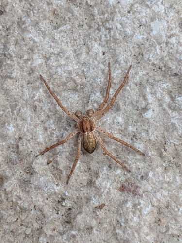
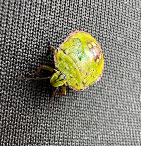
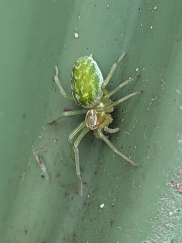
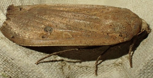
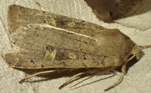
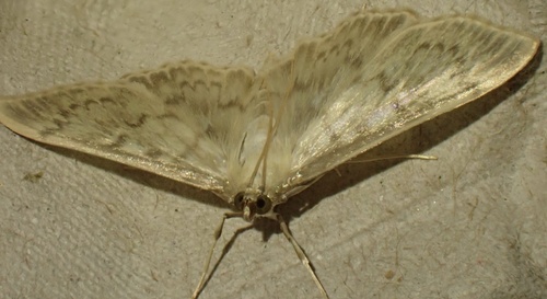
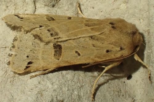
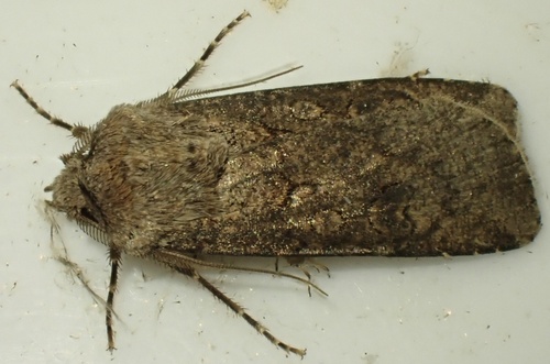
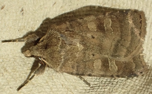
Research-grade observations from iNaturalist (within ~15 mi).
Events
Gallery
Official Identifiers
CBS — Statistics Netherlands
- CBS code
- 0589
- Population (Wikidata)
- 10,138
- Wikidata
- Q10051
Gemeente codes via Wikidata P382
Sources
- • Wikipedia
- • Wikidata
- • iNaturalist
- • Open-Meteo / sunrise-sunset.org
- • Wikipedia Pageviews API
- • Open Library
- • CBS — Statistics Netherlands, municipality code via Wikidata P382
- • CBS — Statistics Netherlands — Gemeente codes via Wikidata P382