Browse / Netherlands / Utrecht / Rhenen
Rhenen
Utrechttown

Rhenen
Total population
19,871
Demographic figures from CBS Netherlands. Overview below cites Wikipedia and may reference a different year.
City facts
Facts from Wikidata (CC0).
Overview
Rhenen is a municipality and a city in the central Netherlands. The municipality also includes the villages of Achterberg, Remmerden and Elst. The town lies on the southernmost part of the chain of hills known as the Utrecht Hill Ridge, where this meets the river Rhine. Because of this Rhenen has significant elevation changes across the town.
Read more on WikipediaHistory & geography
History
Rhenen received city rights probably between 1256 and 1258. In 1346, the bishop of Utrecht ordered the construction of a defensive wall around the city, which was important because it lay near the border with Guelders. Although for some time the town collected toll from ships on the Rhine, it has never had a harbour. The three city gates were demolished in 1840. Small fragments of the wall remain. The town is also famous for the Cunera Church, parts of which date back to the 15th century. Containing the relics of Saint Cunera, it attracted many pilgrims. Legend has it that Cunera was buried on a nearby hill now called the Cuneraheuvel. The church's tower was built between 1492 and 1531. Between 1630 and 1631, the Koningshuis palace was constructed at Rhenen for the ousted Frederick V. It was demolished in 1812. Part of the center of Rhenen, which was located near the defensive Grebbelinie (Grebbe line), was destroyed during the German attack on the Netherlands in May 1940. Part of the reconstruction took place during the war. In 1945, the town was damaged again during the liberation of the country from German occupation. Many or all of the Dutch soldiers who were killed by the Germans near Rhenen lie buried at the Erebegraafplaats (Cemetery of Honor), located along the Grebbeweg (N 225) near the top of the Grebbeberg. Across the road is an important war monument with a poem by J.C. Bloem. In 2008 Rhenen celebrated its 750th anniversary.
Excerpted from the corresponding Wikipedia article (CC BY-SA).
Geography
Coordinates & boundaries from the US Census TIGER/Line shapefiles.
Climate
Air quality
Walkability
Amenities nearby
Wildlife & biodiversity
Earthquake history
Photos
Sights & places nearby
Notable people from here


People born within ~10 km, from Wikidata (CC0). Click any name for their Wikipedia article.
Nearby places in Utrecht
- Achterberg1 mi away · pop. 3,690
- Overberg6.3 mi away · pop. 1,530
- Renswoude7.9 mi away · pop. 5,106
- Maarsbergen9.8 mi away · pop. 1,286
- Doorn10.9 mi away · pop. 10,067
- Achterveld12.5 mi away · pop. 2,665
- Austerlitz13.6 mi away · pop. 1,475
- Amersfoort15.6 mi away · pop. 145,699
- Soesterberg16.5 mi away · pop. 6,470
- Hooglanderveen16.8 mi away · pop. 4,628
- Huis ter Heide17 mi away · pop. 2,610
- Bosch en Duin17.6 mi away · pop. 1,635
Geography & sun
Elevation, sunrise/sunset and daylight from Open-Meteo. Solar climatology from NASA POWER.
Nearby airports
Public attention
Pageview totals from the Wikimedia Pageviews API.
Books about Rhenen
Search results from Open Library.
Recent natural events nearby
Ground air-quality sensors
Recently spotted species
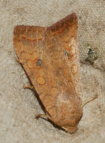
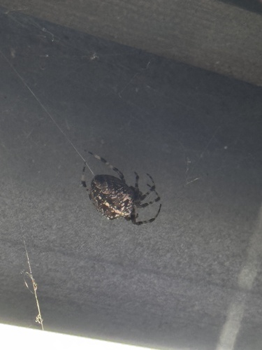



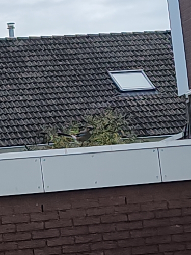
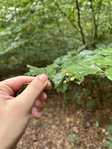
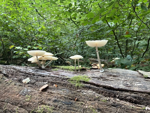
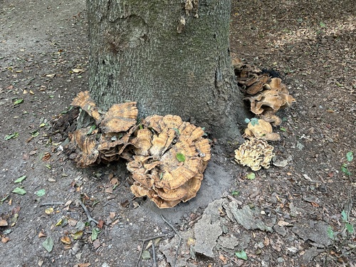
Research-grade observations from iNaturalist (within ~15 mi).
Events
Gallery
Official Identifiers
CBS — Statistics Netherlands
- CBS code
- 0340
- Population (Wikidata)
- 20,203
- Wikidata
- Q10040
Gemeente codes via Wikidata P382
Sources
- • Wikipedia
- • Wikidata
- • iNaturalist
- • Open-Meteo / sunrise-sunset.org
- • Wikipedia Pageviews API
- • Open Library
- • CBS — Statistics Netherlands, municipality code via Wikidata P382
- • CBS — Statistics Netherlands — Gemeente codes via Wikidata P382