Browse / Netherlands / South Holland / Sassenheim
Sassenheim
South Hollandvillage

Sassenheim
Total population
15,680
Demographic figures from CBS Netherlands. Overview below cites Wikipedia and may reference a different year.
City facts
Facts from Wikidata (CC0).
Overview
Sassenheim is a town and former municipality in the western Netherlands, in the province of South Holland.
Read more on WikipediaHistory & geography
History
The name Sassenheim is mentioned in documents for the first time in 870 as Hostsagnem ('East Sassenheim') and Westsagnem ('West Sassenheim'). Later, in the 10th century, the name Saxnem, Zassenem or Sassem was used. It was formed between the towns of Leiden and Lisse on the eastern edge of the old coastal beach ridges where the main road from Leiden to Haarlem was located. Along this road many castles and estates were built, including the mansions along Sassenheim's Main Street (Hoofdstraat) dating from the early 1900s. The village church is built on a dune top and portrays a variety of construction styles. Sassenheim is located in an area called the "Dune and Bulb Region" (Duin- en Bollenstreek). Historically, Sassenheim had a large bulbflower industry but this has now all but disappeared, only a few fields remain. One of the most interesting attractions in Sassenheim are the ruins of Castle Teylingen. This stronghold was built to guard the north–south route in Holland and later became a residence of countess Jacoba of Bavaria. Its outer walls date from the beginning of the 13th century. Around 1570 during the Eighty Years' War, the castle was heavily damaged but rebuilt afterwards. It was bought by the State in 1889 and restored in 1900. Since World War II it has placed much emphasis on attracting light industry. The territory of Sassenheim is partly used for this purpose and partly for residential construction. The few bulbs lands owned by the municipality, have virtually disappeared. The many bulbs barns are almost all demolished. Trade and production have moved to areas outside Sassenheim. In the second half of the 20th century Sassenheim becomes a greater town with new districts around the historical town center, first in the Southeast and the West (during the…
Excerpted from the corresponding Wikipedia article (CC BY-SA).
Geography
Coordinates & boundaries from the US Census TIGER/Line shapefiles.
Climate
Air quality
Walkability
Amenities nearby
Wildlife & biodiversity
Earthquake history
Photos
Sights & places nearby
Notable people from here
Nearby places in South Holland
- Kaag1.8 mi away · pop. 480
- Warmond2 mi away · pop. 4,800
- Lisse2.9 mi away · pop. 22,717
- Noordwijkerhout2.9 mi away · pop. 14,423
- Oud Ade3 mi away · pop. 765
- Oegstgeest3.3 mi away · pop. 23,608
- Noordwijk3.3 mi away · pop. 25,867
- Rijpwetering3.4 mi away · pop. 1,595
- Rijnsburg4.2 mi away · pop. 15,942
- Nieuwe Wetering4.3 mi away · pop. 715
- Leiderdorp4.4 mi away · pop. 27,128
- Hoogmade4.7 mi away · pop. 1,720
Geography & sun
Elevation, sunrise/sunset and daylight from Open-Meteo. Solar climatology from NASA POWER.
Nearby airports
Public attention
Pageview totals from the Wikimedia Pageviews API.
Books about this place
Recent natural events nearby
Ground air-quality sensors
Recently spotted species
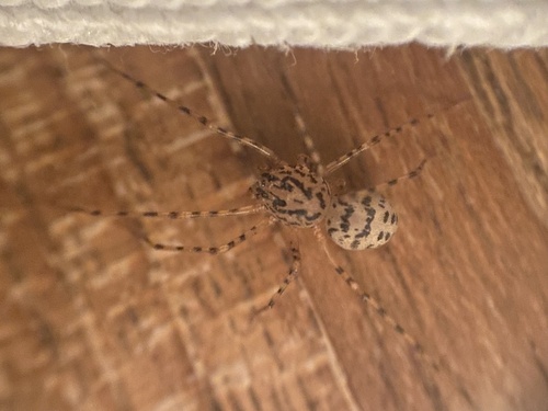

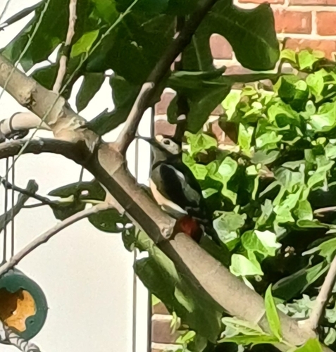
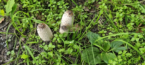
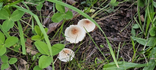
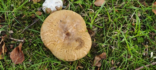
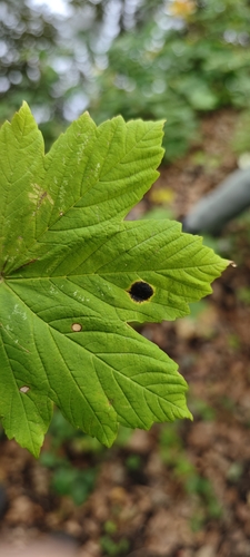

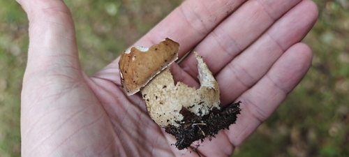
Research-grade observations from iNaturalist (within ~15 mi).
Events
Gallery
Official Identifiers
CBS — Statistics Netherlands
- CBS code
- 0604
- Population (Wikidata)
- 14,886
- Wikidata
- Q1615386
Gemeente codes via Wikidata P382
Sources
- • Wikipedia
- • Wikidata
- • iNaturalist
- • Open-Meteo / sunrise-sunset.org
- • Wikipedia Pageviews API
- • CBS — Statistics Netherlands, municipality code via Wikidata P382
- • CBS — Statistics Netherlands — Gemeente codes via Wikidata P382