Browse / Netherlands / South Holland / Leiderdorp
Leiderdorp
South Hollandtown

Leiderdorp
Total population
27,128
Demographic figures from CBS Netherlands. Overview below cites Wikipedia and may reference a different year.
City facts
Sister cities
Facts from Wikidata (CC0).
Overview
Leiderdorp is a town and municipality in the western Netherlands, in the province of South Holland near the city of Leiden. It had a population of 27,377 in 2021.
Read more on WikipediaHistory & geography
History
Excavations have shown that as early as during the Iron Age in the area of current day Leiderdorp hunters and fishers roamed around and lived on the dry places around the river. The Rhine, which passes through Leiderdorp, functioned as the Northern border of the Roman Empire. Close to Leiderdorp, the Romans built a fort, Matilo. Around the fall of the Western Roman Empire the Romans retreated from the area. From 1597 till 1795 Leiden had administrative rights over Leiderdorp, which led to the town becoming even more dependent on the larger city. In 1795 Leiderdorp decreases in size as the neighbouring Leiden expands. A rope factory was constructed in 1806, and in 1862 the first school was established on the Hoofdstraat (main street). A shipyard was constructed in 1877, and in 1915 social housing designed by famous Dutch architect Willem Marinus Dudok was erected. During the Second World war a bunker was constructed in the neighbouring fields, and a pen factory and community centre were destroyed to make way for it. The spires of one of the churches was used as a sniper's nest.
Excerpted from the corresponding Wikipedia article (CC BY-SA).
Geography
Coordinates & boundaries from the US Census TIGER/Line shapefiles.
Climate
Air quality
Walkability
Amenities nearby
Wildlife & biodiversity
Earthquake history
Photos
Sights & places nearby
Notable people from here


People born within ~10 km, from Wikidata (CC0). Click any name for their Wikipedia article.
Nearby places in South Holland
- Zoeterwoude-Rijndijk1.5 mi away
- Leiden1.8 mi away · pop. 123,753
- Hoogmade2.2 mi away · pop. 1,720
- Oud Ade2.5 mi away · pop. 765
- Warmond2.8 mi away · pop. 4,800
- Rijpwetering3 mi away · pop. 1,595
- Oegstgeest3 mi away · pop. 23,608
- Zoeterwoude-Dorp3.2 mi away
- Hazerswoude-Rijndijk3.4 mi away · pop. 5,426
- Kaag3.7 mi away · pop. 480
- Sassenheim4.4 mi away · pop. 15,680
- Voorschoten4.4 mi away · pop. 25,315
Geography & sun
Elevation, sunrise/sunset and daylight from Open-Meteo. Solar climatology from NASA POWER.
Nearby airports
Public attention
Pageview totals from the Wikimedia Pageviews API.
Books about this place
Recent natural events nearby
Ground air-quality sensors
Recently spotted species

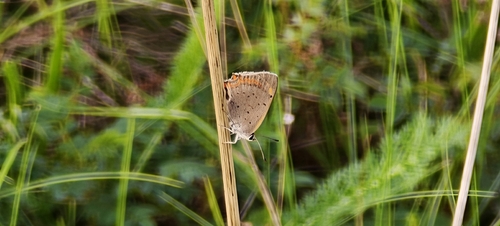
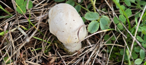
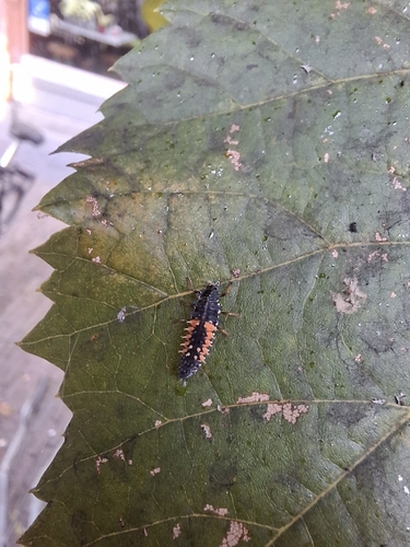
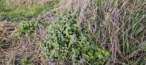
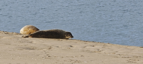
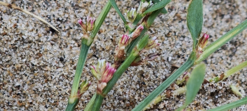
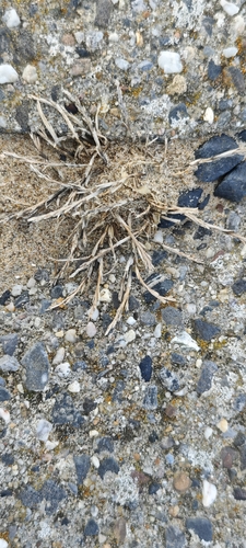
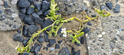
Research-grade observations from iNaturalist (within ~15 mi).
Events
Gallery
Official Identifiers
CBS — Statistics Netherlands
- CBS code
- 0547
- Population (Wikidata)
- 27,377
- Wikidata
- Q1000817
Gemeente codes via Wikidata P382
Sources
- • Wikipedia
- • Wikidata
- • iNaturalist
- • Open-Meteo / sunrise-sunset.org
- • Wikipedia Pageviews API
- • CBS — Statistics Netherlands, municipality code via Wikidata P382
- • CBS — Statistics Netherlands — Gemeente codes via Wikidata P382