Browse / Netherlands / Limburg / Urmond
Urmond
Limburgvillage

Featured view
Urmond
Total population
3,435
Land area2.88 km²
Coordinates50.99°, 5.77°
Demographic figures from CBS Netherlands. Overview below cites Wikipedia and may reference a different year.
Loading additional data from public sources…0 / 11
CensusWikipediaWeatherPlacesPeopleEnvironmentHealth & SchoolsRelatedGeography & CultureLive MonitoringEvents & Gallery
0% completeCity facts
Area
2.88 km²
Facts from Wikidata (CC0).
Overview
Urmond is a village in the Dutch province of Limburg. It is located in the municipality of Stein.
Read more on WikipediaHistory & geography
Geography
Latitude
50.9912
Longitude
5.7717
Water area
—
Coordinates & boundaries from the US Census TIGER/Line shapefiles.
Climate
Air quality
Walkability
Amenities nearby
Wildlife & biodiversity
Earthquake history
Photos
Sights & places nearby
Notable people from here

Katerine Avgoustakis
Belgian singer

Margaretha von der Mark
ruling countess of Arenberg (1527-1599)
L
Leon Lemmens
Roman Catholic bishop (1954–2017)

Ferdinand Gobert von Aspremont-Lynden

Nico Claesen
Belgian footballer
P
Patrick Stevens
Belgian sprinter
H
Henk Temmink
Dutch chess player

Harry Steevens
Dutch cyclist
J
Jef Smeets
Belgian lawyer and politician

Léon Dolmans
Belgian footballer
T
Theo Engelen
Dutch writer
J
Johan Gerets
Belgian association football player
E
Emmanuel Karagiannis
Belgian association football player

John Terra
Belgian singer
R
Ronald Janssen
Belgian serial killer

An Nelissen
Belgian columnist and actor (born 1955)
People born within ~10 km, from Wikidata (CC0). Click any name for their Wikipedia article.
Nearby places in Limburg
- Berg aan de Maas0.9 mi away · pop. 1,970
- Meers2.4 mi away · pop. 880
- Obbicht2.5 mi away · pop. 1,875
- Einighausen2.5 mi away · pop. 1,279
- Guttecoven2.6 mi away · pop. 1,226
- Elsloo2.8 mi away · pop. 7,200
- Geleen2.8 mi away · pop. 31,970
- Limbricht3.2 mi away · pop. 2,535
- Neerbeek3.3 mi away · pop. 2,441
- Grevenbicht3.4 mi away · pop. 2,293
- Born3.4 mi away · pop. 5,921
- Papenhoven3.5 mi away · pop. 734
Geography & sun
Avg solar (kWh/m²/day)
3.04
Annual solar (kWh/m²)
1,108
Elevation, sunrise/sunset and daylight from Open-Meteo. Solar climatology from NASA POWER.
Nearby airports
Public attention
Wikipedia views (last 30 days)
86
Avg daily Wikipedia views
3
Attention level
Obscure
Pageview totals from the Wikimedia Pageviews API.
Books about this place
Recent natural events nearby
Ground air-quality sensors
Recently spotted species
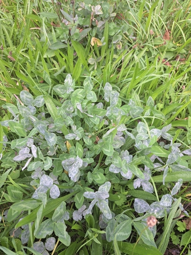
Clover Powdery Mildew
Erysiphe trifoliorum
Seen 2026-09-22
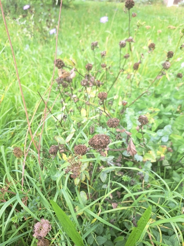
Red Clover
Trifolium pratense
Seen 2026-09-22
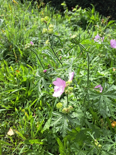
musk mallow
Malva moschata
Seen 2026-09-22
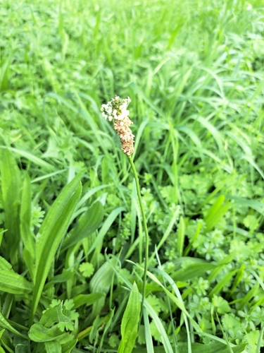
ribwort plantain
Plantago lanceolata
Seen 2026-09-22
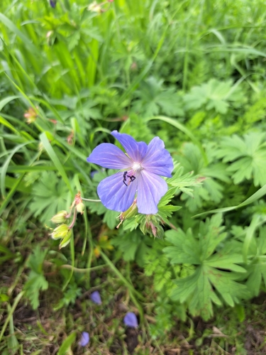
Meadow Crane's-bill
Geranium pratense
Seen 2026-09-22
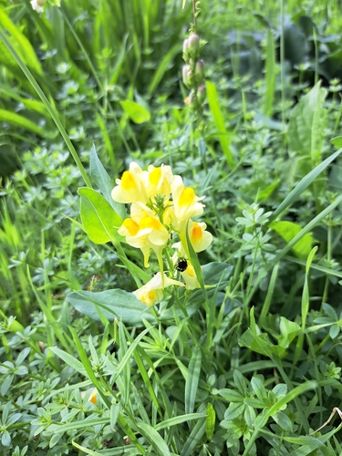
common toadflax
Linaria vulgaris
Seen 2026-09-22
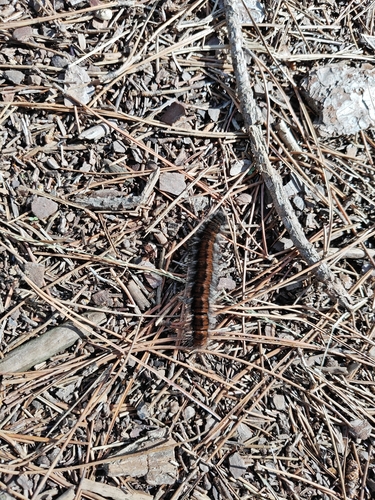
Fox Moth
Macrothylacia rubi
Seen 2026-09-21
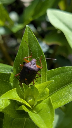
Forest Bug
Pentatoma rufipes
Seen 2026-09-21
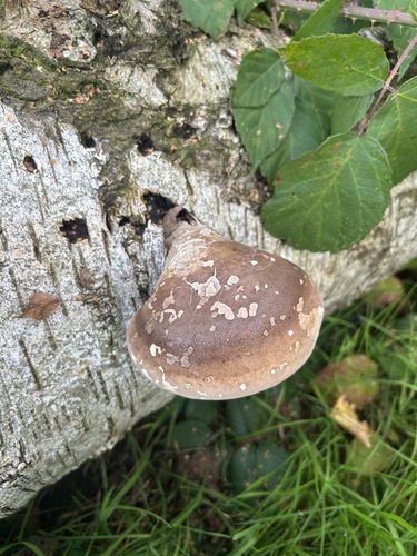
birch polypore
Fomitopsis betulina
Seen 2026-09-19
Research-grade observations from iNaturalist (within ~15 mi).
Events
Gallery
Official Identifiers
CBS — Statistics Netherlands
- CBS code
- 0980
- Population (Wikidata)
- 824
- Wikidata
- Q3113131
Gemeente codes via Wikidata P382
Sources
- • Wikipedia
- • Wikidata
- • iNaturalist
- • Open-Meteo / sunrise-sunset.org
- • Wikipedia Pageviews API
- • CBS — Statistics Netherlands, municipality code via Wikidata P382
- • CBS — Statistics Netherlands — Gemeente codes via Wikidata P382