Browse / Netherlands / Utrecht / Veenendaal
Veenendaal
Utrechttown

Veenendaal
Total population
64,277
Demographic figures from CBS Netherlands. Overview below cites Wikipedia and may reference a different year.
City facts
Sister cities
Facts from Wikidata (CC0).
Overview
Veenendaal is a municipality and a town in central Netherlands, located in the province of Utrecht. Veenendaal is the only population centre within its administrative borders. The municipality had a population of 70,000 inhabitants on 8 August 2024 and covers an area of 19.72 km2 (7.61 sq mi).
Read more on WikipediaHistory & geography
History
The original village was founded in the middle of the 16th century as a peat colony from which it got its name. Veen is the Dutch word for fen and daal for dale. The village was administratively part of two nearby towns, which were themselves part of two different provinces of the Dutch Republic. The southern half belonged to Rhenen in Utrecht, the northeastern half to Ede in Guelders. In 1795, with the arrival of French troops in the country and inspired by the ideas of the French Revolution, the citizens declared their independence. When turmoil of the Napoleonic era was settled and the Netherlands was reformed as a monarchy, only the southern part would retain its independence. In the 19th century, wool and tobacco industry became Veenendaal's largest source of income. Big factories dominated the otherwise small rural town. In 1855, Veenendaal was hit by a flood, which caused many residents to flee to Utrecht. A monument was erected near the railway station. In 1960 the northern part of town, still controlled by Ede, was merged with the self-governing part of town. Further lands of Rhenen and also Renswoude were ceded to allow for new housing developments. The population grew rapidly from about 10,000 in the 1920s, to 23,000 in 1960, to the 68,000+ inhabitants of today. In 1997 the town was elected the greenest city in Europe and in 2004 of the Netherlands. Like most Dutch cities, Veenendaal is well adapted to the high number of cyclists. A large network of bike paths make it convenient to cycle to various destinations and within the town, the bike is a popular mean of transportation. In 2000 and 2020, Veenendaal was chosen as Fietsstad of the year, recognised as being the top city for cycling in the Netherlands.
Excerpted from the corresponding Wikipedia article (CC BY-SA).
Geography
Coordinates & boundaries from the US Census TIGER/Line shapefiles.
Climate
Air quality
Walkability
Amenities nearby
Wildlife & biodiversity
Earthquake history
Photos
Sights & places nearby
Notable people from here


People born within ~10 km, from Wikidata (CC0). Click any name for their Wikipedia article.
Nearby places in Utrecht
- Overberg2.6 mi away · pop. 1,530
- Renswoude3.4 mi away · pop. 5,106
- Achterberg3.9 mi away · pop. 3,690
- Maarsbergen6.8 mi away · pop. 1,286
- Achterveld8 mi away · pop. 2,665
- Doorn8.9 mi away · pop. 10,067
- Austerlitz10.7 mi away · pop. 1,475
- Amersfoort11.4 mi away · pop. 145,699
- Hooglanderveen12.3 mi away · pop. 4,628
- Soesterberg13.2 mi away · pop. 6,470
- Huis ter Heide13.9 mi away · pop. 2,610
- Bosch en Duin14.7 mi away · pop. 1,635
Geography & sun
Elevation, sunrise/sunset and daylight from Open-Meteo. Solar climatology from NASA POWER.
Nearby airports
Public attention
Pageview totals from the Wikimedia Pageviews API.
Books about Veenendaal
Search results from Open Library.
Recent natural events nearby
Ground air-quality sensors
Recently spotted species
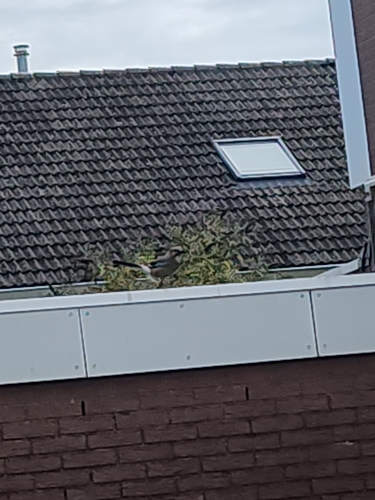
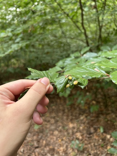
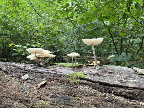
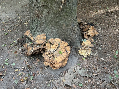
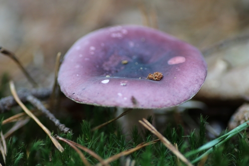
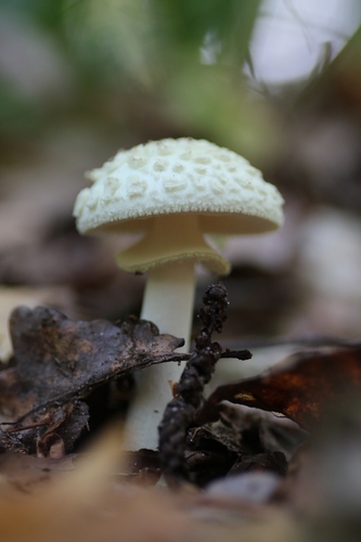
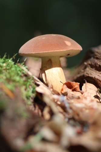
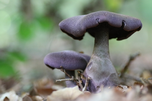

Research-grade observations from iNaturalist (within ~15 mi).
Events
Gallery
Official Identifiers
CBS — Statistics Netherlands
- CBS code
- 0345
- Population (Wikidata)
- 66,912
- Wikidata
- Q1840
Gemeente codes via Wikidata P382
Sources
- • Wikipedia
- • Wikidata
- • iNaturalist
- • Open-Meteo / sunrise-sunset.org
- • Wikipedia Pageviews API
- • Open Library
- • CBS — Statistics Netherlands, municipality code via Wikidata P382
- • CBS — Statistics Netherlands — Gemeente codes via Wikidata P382