Browse / Netherlands / North Holland / Weesp
Weesp
North Hollandtown

Weesp
Total population
18,751
Demographic figures from CBS Netherlands. Overview below cites Wikipedia and may reference a different year.
City facts
Facts from Wikidata (CC0).
Overview
Weesp is a city and an urban area in the municipality of Amsterdam in the province of North Holland, Netherlands. It had a population of 20,445 in 2021. It lies on the river Vecht and next to the Amsterdam–Rhine Canal in an area called the Vechtstreek. The former municipality of Weesp merged with Amsterdam on 24 March 2022.
Read more on WikipediaHistory & geography
History
Until the early Middle Ages the region around Weesp was an uninhabited peat bog. Weesp (Wesopa in Latin documents) was granted city rights in 1355 and celebrated its 650th anniversary as a city in 2005. From the late Middle Ages, the river Vecht was a defensive line for the County of Holland and it remained a military defensive line until the Second World War. Weesp was strongly fortified, more than its size would justify; for most of its history it had a few thousand inhabitants. The defensive lines consisted of inundation zones, which would be flooded in wartime (the Hollandic Water Line). Behind them were fortified towns, forts, barracks and other military structures. The most comprehensive was the Defence Line of Amsterdam (Stelling van Amsterdam), a circular inundation zone around Amsterdam, a UNESCO World Heritage Site. After the Second World War, new housing was built in the west and an industrial zone with a harbour at the Amsterdam-Rhine Canal was constructed. In the 1970s a suburb was built on the south. Another suburb was built in the north which recently expanded with plans for further expansion. Before the reformation the church was dedicated to Saint Lawrence. It is still in use for Protestant services. In the tower it has a famous carillon by Pieter Hemony cast in 1671. Following the 19th Century emancipation of Dutch Catholics, a Catholic church was erected in Weesp. The Dutch government considered Weesp too small to continue as an independent municipality. Bas Jan van Bochove was the last mayor of the municipality of Weesp until the merger was finalized on 24 March 2022.
Excerpted from the corresponding Wikipedia article (CC BY-SA).
Geography
Coordinates & boundaries from the US Census TIGER/Line shapefiles.
Climate
Air quality
Walkability
Amenities nearby
Wildlife & biodiversity
Most-observed species
- Eurasian CootFulica atra Linnaeus, 1758 · Aves50,149
- Eurasian MagpiePica pica (Linnaeus, 1758) · Aves50,015
- MallardAnas platyrhynchos Linnaeus, 1758 · Aves45,264
- Gray/Purple HeronArdea cinerea Linnaeus, 1758 · Aves44,130
- Carrion CrowCorvus corone Linnaeus, 1758 · Aves42,547
- Eurasian BlackbirdTurdus merula Linnaeus, 1758 · Aves42,424
- Great TitParus major Linnaeus, 1758 · Aves38,940
- Common Wood-PigeonColumba palumbus Linnaeus, 1758 · Aves36,860
Citizen-science & research observations from the Global Biodiversity Information Facility (GBIF).
Earthquake history
Most recent
- M 4.2 — 2011-09-083 km ENE of Heijen, Netherlands
- M 2.9 — 2008-10-1119 km WNW of Egmond aan Zee, Netherlands
Events from the USGS Earthquake Catalog (global) (FDSN Event Web Service).
Photos
Sights & places nearby
Notable people from here


People born within ~10 km, from Wikidata (CC0). Click any name for their Wikipedia article.
Nearby places in North Holland
- Driemond1.1 mi away · pop. 1,525
- Muiden2 mi away · pop. 4,580
- Nederhorst den Berg3 mi away · pop. 5,285
- Muiderberg3.4 mi away · pop. 1,595
- Ankeveen3.7 mi away · pop. 1,490
- Diemen4.2 mi away · pop. 27,272
- Duivendrecht4.7 mi away · pop. 4,785
- Naarden5.2 mi away · pop. 17,545
- Durgerdam5.3 mi away · pop. 420
- Kortenhoef5.5 mi away · pop. 6,755
- Bussum5.5 mi away · pop. 33,220
- Ouderkerk aan de Amstel5.9 mi away · pop. 8,620
Geography & sun
Elevation, sunrise/sunset and daylight from Open-Meteo. Solar climatology from NASA POWER.
Nearby airports
Public attention
Pageview totals from the Wikimedia Pageviews API.
Books about this place
Recent natural events nearby
Ground air-quality sensors
Recently spotted species
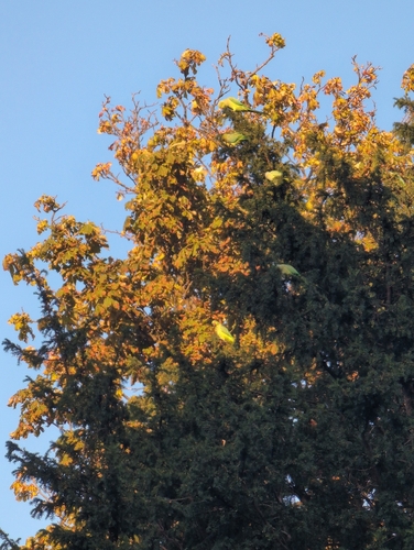
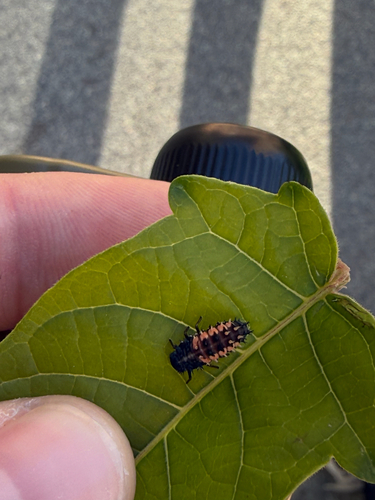
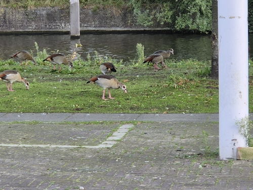
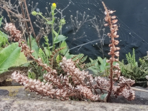
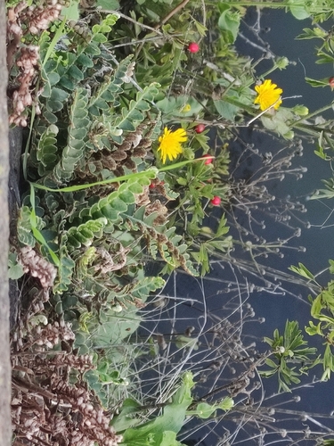
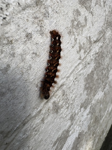

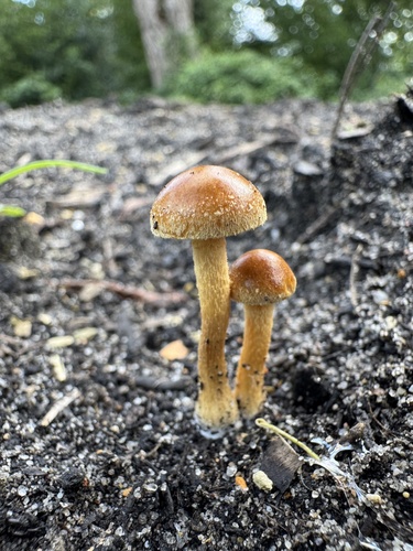
Research-grade observations from iNaturalist (within ~15 mi).
Events
Gallery
Official Identifiers
CBS — Statistics Netherlands
- CBS code
- 0457
- Population (Wikidata)
- 19,334
- Wikidata
- Q9974
Gemeente codes via Wikidata P382
Sources
- • Wikipedia
- • Wikidata
- • USGS Earthquake Catalog (global feed)
- • GBIF (Global Biodiversity Information Facility)
- • iNaturalist
- • Open-Meteo / sunrise-sunset.org
- • Wikipedia Pageviews API
- • CBS — Statistics Netherlands, municipality code via Wikidata P382
- • CBS — Statistics Netherlands — Gemeente codes via Wikidata P382