Browse / Netherlands / Friesland / Wiuwert
Wiuwert
Frieslandvillage

Wiuwert
Total population
275
Demographic figures from CBS Netherlands. Overview below cites Wikipedia and may reference a different year.
City facts
Facts from Wikidata (CC0).
Overview
Wiuwert is a village in Súdwest-Fryslân municipality in the province of Friesland, the Netherlands. It had a population of around 277 in January 2017. Wiuwert is known for the Labadist community and the natural mummification in the basement of the church.
Read more on WikipediaHistory & geography
History
The village was first mentioned in the 13th century as Wiwerth. The etymology is unclear. Wiuwert is a terp (artificial living hill) village. Before the poldering of the lakes and when Wiuwert was located along the former Middelzee, it was a thriving fishing village which was described to have contained more than 180 houses. In 1866, part of the terp was excavated and a hoard of 39 golden objects was discovered, including one of the tremisses of Audulf of Frisia. The coins in the collection prove that it was buried around 640. Before 2018, the village was part of the Littenseradiel municipality and before 1984 it belonged to Baarderadeel municipality.
Excerpted from the corresponding Wikipedia article (CC BY-SA).
Geography
Coordinates & boundaries from the US Census TIGER/Line shapefiles.
Climate
Air quality
Walkability
Amenities nearby
Wildlife & biodiversity
Earthquake history
Photos
Sights & places nearby
Notable people from here


People born within ~10 km, from Wikidata (CC0). Click any name for their Wikipedia article.
Nearby places in Friesland
- Britswert0.8 mi away · pop. 110
- Easterwierrum1.8 mi away · pop. 335
- Mantgum1.8 mi away · pop. 1,170
- Lytsewierrum1.8 mi away · pop. 65
- Itens2 mi away · pop. 230
- Baard2.4 mi away · pop. 185
- Easterlittens2.4 mi away · pop. 435
- Hinnaard2.5 mi away · pop. 45
- Jorwert2.6 mi away · pop. 335
- Raerd3 mi away · pop. 630
- Leons3 mi away · pop. 25
- Tersoal3.1 mi away · pop. 355
Geography & sun
Elevation, sunrise/sunset and daylight from Open-Meteo. Solar climatology from NASA POWER.
Nearby airports
Public attention
Pageview totals from the Wikimedia Pageviews API.
Books about this place
Recent natural events nearby
Ground air-quality sensors
Recently spotted species
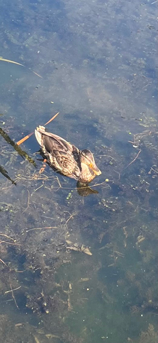
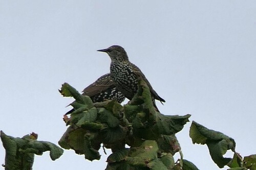
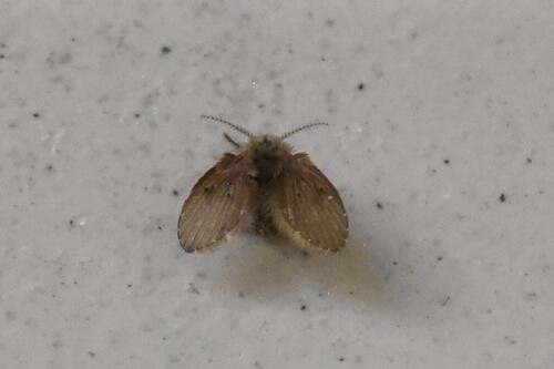
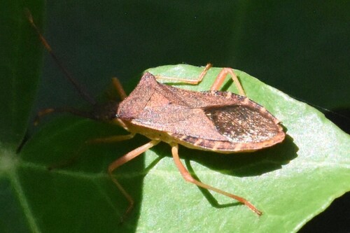
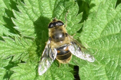
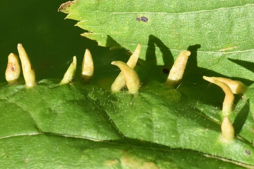
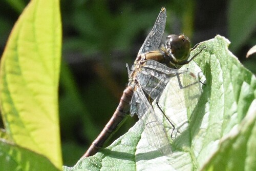
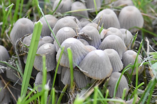
Research-grade observations from iNaturalist (within ~15 mi).
Events
Gallery
Sources
- • Wikipedia
- • Wikidata
- • iNaturalist
- • Open-Meteo / sunrise-sunset.org
- • Wikipedia Pageviews API