Browse / Netherlands / Utrecht / Woerden
Woerden
Utrechttown

Woerden
Total population
37,195
Demographic figures from CBS Netherlands. Overview below cites Wikipedia and may reference a different year.
City facts
Sister cities
Facts from Wikidata (CC0).
Overview
Woerden is a city and a municipality in the Province of Utrecht in the central Netherlands, 15 km west of Utrecht and 32 km south of Amsterdam.
Read more on WikipediaHistory & geography
History
The river Oude Rijn used to flow through the city center of Woerden, but in 1960 the old river was diverted around the city center. The city has a long and rich history in cheese making and trading; for years Gouda cheese for domestic and international use has been produced in this region. Woerden still holds its authentic (since 1885) cheese market at the market place in its center. Woerden is situated on the river Oude Rijn, near the confluence with the former stream. The lower stretch of the Linschoten stream from Montfoort and Linschoten to Woerden silted up a long time ago and its flow was diverted through the Lek and Hollandse IJssel rivers, but at one time it was an important branch of the Rhine delta, connecting the Lower Rhine from Wijk bij Duurstede to the Oude Rijn near Woerden. Near the former confluence was an area that was slightly more elevated than the surroundings, a natural levee, which — in an area that is prone to flooding — made it an attractive location for settlement. Here, at the highest spot, the Romans built a castellum (Castellum Laurum), as part of the limes of the Roman Empire and thus part of the defense lines of the northern border of the Roman Empire. The first castellum was built in the 40s AD and was destroyed in 69 AD during the Batavian rebellion. In 70 AD, the castellum was rebuilt, and the Romans remained until 402 AD, with an interruption lasting from about 275-300 AD. The Castellum was located at the present site of the medieval Petruschurch and surrounding churchyard. During construction work on a new underground parking facility in the city center of Woerden, the remains of numerous old Roman buildings and a Roman cargo ship were found. During field research, a lot became known about the Roman time in Woerden:…
Geography
Woerden is located at in the west of the province of Utrecht in the center of the Netherlands. Woerden is bordered by the municipalities of De Ronde Venen (in the north), Stichtse Vecht (northeast), Utrecht (east), and Montfoort (south) in the province of Utrecht and Bodegraven-Reeuwijk (southwest) and Nieuwkoop (northwest) in the province of South Holland. The population centers in the municipality are De Meije, Harmelen, Kamerik, Kanis, Woerden, and Zegveld.
Excerpted from the corresponding Wikipedia article (CC BY-SA).
Geography
Coordinates & boundaries from the US Census TIGER/Line shapefiles.
Climate
Air quality
Walkability
Amenities nearby
Wildlife & biodiversity
Earthquake history
Photos
Sights & places nearby
Notable people from here


People born within ~10 km, from Wikidata (CC0). Click any name for their Wikipedia article.
Nearby places in Utrecht
- De Meern6.5 mi away · pop. 21,316
- Maarssen7.6 mi away · pop. 38,560
- Lopik8.3 mi away · pop. 8,038
- Oud-Zuilen8.4 mi away · pop. 620
- Tienhoven aan de Lek9 mi away · pop. 780
- Nieuwegein9.2 mi away · pop. 61,869
- Nieuwersluis9.3 mi away · pop. 475
- Lopikerkapel9.5 mi away · pop. 1,160
- Tienhoven10.2 mi away · pop. 1,745
- Amstelhoek10.2 mi away · pop. 995
- Loenen aan de Vecht10.4 mi away · pop. 4,390
- Groenekan11.7 mi away · pop. 1,870
Geography & sun
Elevation, sunrise/sunset and daylight from Open-Meteo. Solar climatology from NASA POWER.
Nearby airports
Public attention
Pageview totals from the Wikimedia Pageviews API.
Books about Woerden
Search results from Open Library.
Recent natural events nearby
Ground air-quality sensors
Recently spotted species
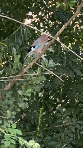
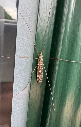
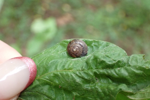

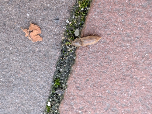

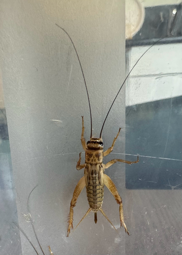
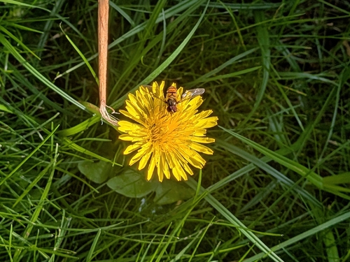
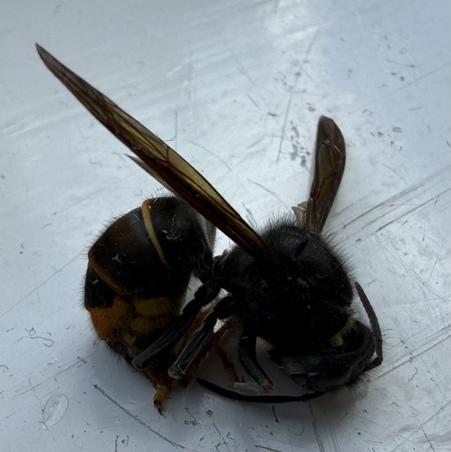
Research-grade observations from iNaturalist (within ~15 mi).
Events
Notable, recurring, and historical events associated with Woerden, sourced from Wikidata.
- Q131100067annual event
Source: Wikidata (CC0).
Gallery
Official Identifiers
CBS — Statistics Netherlands
- CBS code
- 0632
- Population (Wikidata)
- 52,694
- Wikidata
- Q5128
Gemeente codes via Wikidata P382
Sources
- • Wikipedia
- • Wikidata
- • iNaturalist
- • Open-Meteo / sunrise-sunset.org
- • Wikipedia Pageviews API
- • Open Library
- • CBS — Statistics Netherlands, municipality code via Wikidata P382
- • CBS — Statistics Netherlands — Gemeente codes via Wikidata P382