Browse / Netherlands / Utrecht / Zeist
Zeist
Utrechttown

Zeist
Total population
65,987
Demographic figures from CBS Netherlands. Overview below cites Wikipedia and may reference a different year.
City facts
Overview
Zeist is the largest town of the municipality of Zeist. The town is located in the Utrecht province of the Netherlands, east of the city of Utrecht.
Read more on WikipediaHistory & geography
History
The town of "Seist" was first mentioned in a charter in the year 838. The original settlement was located at the present Dorpsstraat. In the late 12th century, a church was built here. Its tower is now a part of the Reformed Church, the remainder of which was built in the 19th century. Until medieval times, a branch of the river Rhine flowed close to the centre of the town. Three mansions were built near the village: the Huis te Zeist, Kersbergen, and Blikkenburg. From 1677 to 1686, the "Slot Zeist" was built on or near the ruins of "Kasteel Zeist", the original castle (donjon) of Rodgar van Zeist. There is very little documentation on the family that lived there, but a few names are found: in the 12th century a Godefridus de Seist and in the late 13th century another Godefridus, a knight, with his son Johannes and his daughter Petronilla. (Bronnen voor de geschiedenis van Zeist, deel 1, ed. Van Hinsbergen) The last member of the van Zeist family was a woman, Elisabeth van Zeist, who married a member of the Borre van Amerongen family. They had a son who adopted his mother's name and his father's coat-of-arms. In the last quarter of the 17th century, Count Willem Adriaan van Nassau, an illegitimate descendant of Prince Maurice of Orange, acquired the property and built Slot Zeist in the Dutch Classicist style. Murals by Daniel Marot are still largely intact. Members of the Evangelische Broedergemeente (Evangelical Brethren's Congregation), the Dutch name for the Moravians, settled in Zeist in 1746, building for their community an impressive array of 18th century Classicist houses planned around two squares. Their headquarters are still located in the centre of town, next to "the palace". The oldest Dutch archives of the Moravians are kept at the Utrecht Archival…
Excerpted from the corresponding Wikipedia article (CC BY-SA).
Geography
Coordinates & boundaries from the US Census TIGER/Line shapefiles.
Climate
Air quality
Walkability
Amenities nearby
Wildlife & biodiversity
Earthquake history
Photos
Sights & places nearby
Notable people from here


People born within ~10 km, from Wikidata (CC0). Click any name for their Wikipedia article.
Nearby places in Utrecht
- Bosch en Duin1.6 mi away · pop. 1,635
- Huis ter Heide2.2 mi away · pop. 2,610
- Austerlitz3.8 mi away · pop. 1,475
- Groenekan4 mi away · pop. 1,870
- Lage Vuursche6.2 mi away · pop. 285
- Doorn6.3 mi away · pop. 10,067
- Hollandsche Rading6.5 mi away · pop. 1,592
- Nieuwegein7.1 mi away · pop. 61,869
- Oud-Zuilen7.2 mi away · pop. 620
- Maarsbergen7.8 mi away · pop. 1,286
- De Meern8.1 mi away · pop. 21,316
- Tienhoven8.2 mi away · pop. 1,745
Geography & sun
Elevation, sunrise/sunset and daylight from Open-Meteo. Solar climatology from NASA POWER.
Nearby airports
Public attention
Pageview totals from the Wikimedia Pageviews API.
Books about Zeist

Search results from Open Library.
Recent natural events nearby
Ground air-quality sensors
Recently spotted species
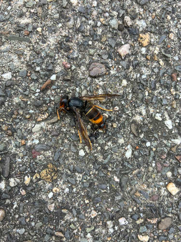
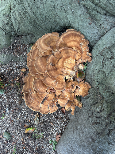
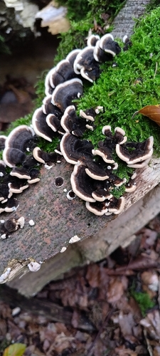
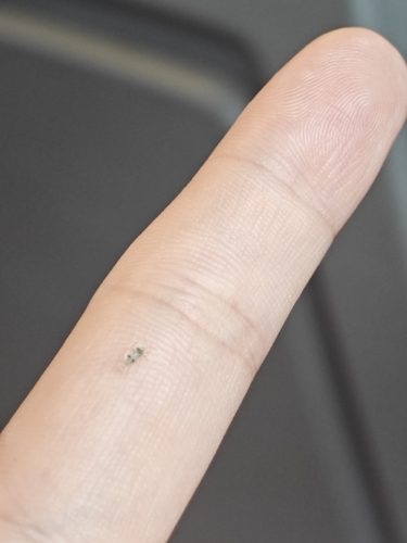
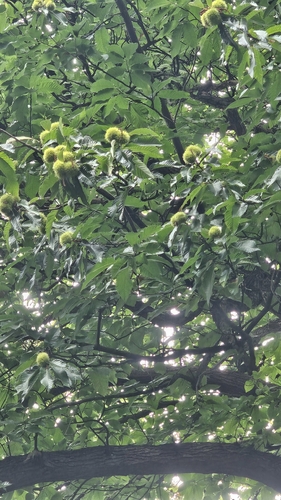
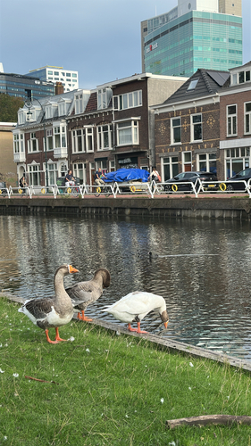
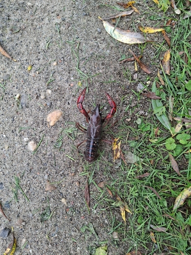
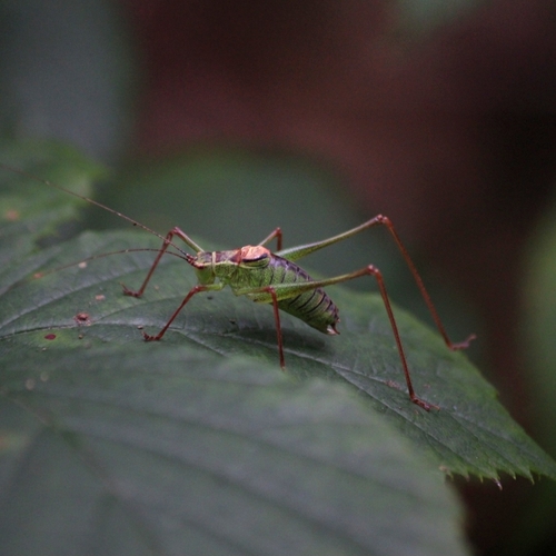
Research-grade observations from iNaturalist (within ~15 mi).
Events
Notable, recurring, and historical events associated with Zeist, sourced from Wikidata.
- 2024 The PassionMar 28, 2024recurring event edition
Source: Wikidata (CC0).
Gallery
Official Identifiers
CBS — Statistics Netherlands
- CBS code
- 0355
- Population (Wikidata)
- 65,043
- Wikidata
- Q10056
Gemeente codes via Wikidata P382
Sources
- • Wikipedia
- • Wikidata
- • iNaturalist
- • Open-Meteo / sunrise-sunset.org
- • Wikipedia Pageviews API
- • Open Library
- • CBS — Statistics Netherlands, municipality code via Wikidata P382
- • CBS — Statistics Netherlands — Gemeente codes via Wikidata P382