Browse / United States / New Mexico / North Light Plant
North Light Plant
New MexicoCDP
Total population
579
Median home value
$202,700
Bachelor's+
Median income
$0
Demographic figures from US Census Bureau · ACS 5-year estimates. Overview below cites Wikipedia and may reference a different year.
- Flood Watch · SevereFlood Watch issued September 22 at 1:02AM MDT until September 23 at 6:00PM MDT by NWS Albuquerque NM
Source: NOAA National Weather Service.
City facts
Facts from Wikidata (CC0).
Overview
North Light Plant is an unincorporated community and census-designated place in San Juan County, New Mexico, United States. As of the 2020 census, North Light Plant had a population of 556. New Mexico State Road 574 passes through the community.
Read more on WikipediaHistory & geography
Geography
According to the U.S. Census Bureau, the community has an area of , all land.
Excerpted from the corresponding Wikipedia article (CC BY-SA).
Demographics & economy
Race & ethnicity
Source: US Census Bureau — American Community Survey, 5-year estimates.
Geography
Coordinates & boundaries from the US Census TIGER/Line shapefiles.
Climate
Current forecast
Forecast for North Light Plant, NM from NOAA NWS API.
Air quality
Industrial & pollution facilities
Natural hazard risk
Health (adults)
Age-adjusted prevalence estimates from CDC PLACES (latest release).
Walkability
Amenities nearby
Wildlife & biodiversity
Schools
Largest nearby schools
- PIEDRA VISTA HIGHHigh · FARMINGTON · 1,578 students · 19:1 ratio
- AZTEC HIGHHigh · AZTEC · 682 students · 15.9:1 ratio
- C.V. KOOGLER MIDDLEMiddle · AZTEC · 533 students · 14.4:1 ratio
- COUNTRY CLUB ELEMENTARYElementary · FARMINGTON · 525 students · 17.5:1 ratio
- NAABA ANI ELEMENTARYMiddle · BLOOMFIELD · 434 students · 14:1 ratio
- MCCOY AVENUE ELEMENTARYElementary · AZTEC · 396 students · 14.7:1 ratio
- LYDIA RIPPEY ELEMENTARYElementary · AZTEC · 351 students · 13:1 ratio
- PARK AVENUE ELEMENTARYElementary · AZTEC · 338 students · 15.4:1 ratio
Public K–12 schools within ~10 mi from Urban Institute Education Data Portal (NCES Common Core of Data, 2022).
Earthquake history
Photos
Sights & places nearby
Notable people from here

People born within ~10 km, from Wikidata (CC0). Click any name for their Wikipedia article.
Nearby places in New Mexico
- Bloomfield9.2 mi away
- Upper Fruitland18.9 mi away
- Nenahnezad24.1 mi away · pop. 406
- Waterflow25.3 mi away · pop. 1,140
- Sanostee55 mi away · pop. 214
- Dulce57.4 mi away
- Naschitti66.2 mi away
- Becenti73.3 mi away · pop. 235
- Ojo Encino73.9 mi away
- Crystal78.5 mi away · pop. 287
- Tohatchi81.2 mi away
- Brimhall Nizhoni81.4 mi away
Geography & sun
Elevation, sunrise/sunset and daylight from Open-Meteo. Solar climatology from NASA POWER.
Nearby airports
Public attention
Pageview totals from the Wikimedia Pageviews API.
Books about North Light Plant





Search results from Open Library.
Recent natural events nearby
- Wildfire Rio Blanco, Archuleta, ColoradoWildfires · 2026-07-28 · 61 mi
- Wildfire Swiss Roll, Archuleta, ColoradoWildfires · 2026-08-20 · 77 mi
- Wildfire Frijoles, Santa Fe, New MexicoWildfires · 2026-08-05 · 138 mi
- Wildfire WHISKEY, Torrance, New MexicoWildfires · 2026-08-21 · 176 mi
- Wildfire 310, Garfield, ColoradoWildfires · 2026-08-06 · 178 mi
- Wildfire Rayado Mesa, Colfax, New MexicoWildfires · 2026-07-27 · 180 mi
- Wildfire LAUGHLIN, Colfax, New MexicoWildfires · 2026-08-25 · 200 mi
- Wildfire Post, Las Animas, ColoradoWildfires · 2026-08-11 · 200 mi
Wildfires, storms and other events from NASA EONET (last 12 months, within 250 mi).
Ground air-quality sensors
Recently spotted species
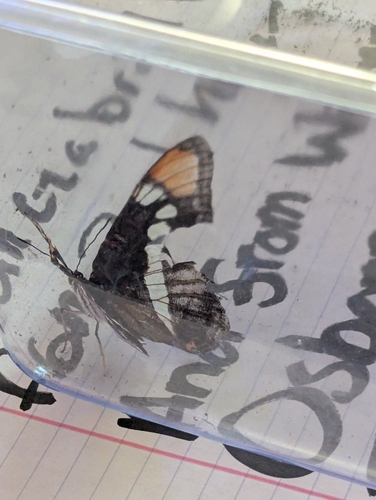
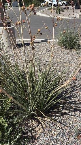
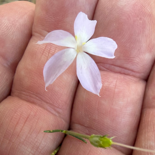
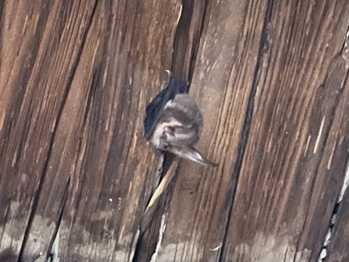
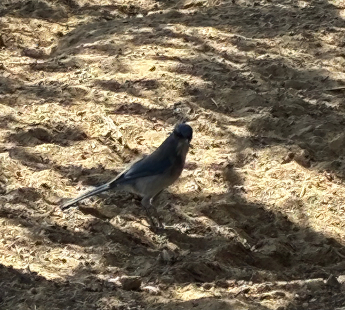
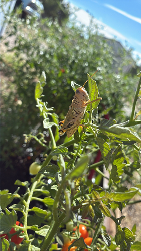
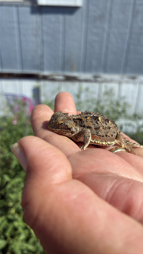
Research-grade observations from iNaturalist (within ~15 mi).
Nearest stream gauge
Events
Gallery
Sources
- • Wikipedia
- • US Census Bureau (ACS 5-year estimates)
- • NOAA National Weather Service
- • Wikidata
- • NCES via Urban Institute Education Data Portal
- • iNaturalist
- • CDC PLACES
- • Open-Meteo / sunrise-sunset.org
- • Wikipedia Pageviews API
- • Open Library
- • NASA EONET