Browse / United States / New Mexico / Red River
Red River
New Mexicotown

Red River
Total population
450
Median home value
$427,500
Bachelor's+
Median income
$22,384
Demographic figures from US Census Bureau · ACS 5-year estimates. Overview below cites Wikipedia and may reference a different year.
City facts
Facts from Wikidata (CC0).
Overview
Red River is a resort town in Taos County, New Mexico, US in the Sangre de Cristo Mountains. The population was 542 at the 2020 census. Red River is on the Enchanted Circle Scenic Byway, and is 36 miles (58 km) from Taos.
Read more on WikipediaHistory & geography
History
Prior to the arrival of European-Americans, the area now occupied by Red River was used as a summer hunting ground by the Jicarilla Apache and Utes, who hunted big horn sheep, mule deer, elk, Mountain cottontail, and mallards, amongst other species. The town of Red River had its beginnings late in the 19th century, when miners from nearby Elizabethtown in the Moreno Valley were drawn in by gold strikes in the area and trappers sought game. It was named after the perennial stream, Red River, that flows through the town, coming from the northern slopes of Wheeler Peak. By 1895, Red River was a booming mining camp, with gold, silver and copper in some abundance, and a population estimated at three thousand. Mining hit its peak in 1897, and by 1905 the mining and the population dwindled but the town survived, gaining a reputation as a great getaway from hot weather and as a trout fishing paradise. The last serious mining efforts extended until 1931. By that time tourism had become the principal economic livelihood. In 2019, the Christmas tree displayed at the United States Capitol in Washington, D.C. was harvested in Red River.
Geography
Red River is located in the Sangre de Cristo Mountains, part of the southern Rocky Mountains, and is surrounded by the Carson National Forest. According to the United States Census Bureau, the town has a total area of , all land. The Enchanted Circle Scenic Byway, also known as New Mexico Route 38, passes through Red River.
Excerpted from the corresponding Wikipedia article (CC BY-SA).
Demographics & economy
Race & ethnicity
Source: US Census Bureau — American Community Survey, 5-year estimates.
Geography
Coordinates & boundaries from the US Census TIGER/Line shapefiles.
Climate
Current forecast
Forecast for Red River, NM from NOAA NWS API.
Air quality
Industrial & pollution facilities
Natural hazard risk
Health (adults)
Age-adjusted prevalence estimates from CDC PLACES (latest release).
Walkability
Amenities nearby
Wildlife & biodiversity
Most-observed species
- Mountain ChickadeePoecile gambeli (Ridgway, 1886) · Aves1,421
- American RobinTurdus migratorius Linnaeus, 1766 · Aves1,227
- Common RavenCorvus corax Linnaeus, 1758 · Aves1,126
- Broad-tailed HummingbirdSelasphorus platycercus (Swainson, 1827) · Aves1,105
- Steller's JayCyanocitta stelleri (Gmelin, 1788) · Aves1,002
- Dark-eyed JuncoJunco hyemalis (Linnaeus, 1758) · Aves862
- Woodhouse's Scrub-JayAphelocoma woodhouseii (S.F.Baird, 1858) · Aves820
- Northern FlickerColaptes auratus (Linnaeus, 1758) · Aves765
Citizen-science & research observations from the Global Biodiversity Information Facility (GBIF).
Schools
Largest nearby schools
- QUESTA HIGHHigh · QUESTA · 100 students · 9.1:1 ratio
- RED RIVER VALLEY CHARTER SCHOOLElementary · RED RIVER · 81 students · 9:1 ratio
- QUESTA JR HIGHMiddle · QUESTA · 56 students · 14:1 ratio
Public K–12 schools within ~10 mi from Urban Institute Education Data Portal (NCES Common Core of Data, 2022).
Earthquake history
Photos
Sights & places nearby
Notable people from here
Nearby places in New Mexico
- Arroyo Hondo18.3 mi away
- Angel Fire24.6 mi away · pop. 1,111
- Ranchos de Taos26.1 mi away
- Picuris Pueblo39.1 mi away
- Dixon45.1 mi away · pop. 1,623
- Velarde48.5 mi away · pop. 229
- El Rito49.4 mi away · pop. 1,102
- Maxwell49.9 mi away · pop. 331
- Los Luceros53.6 mi away
- Sombrillo61 mi away · pop. 168
- Santa Clara Pueblo63.7 mi away
- Nambe63.8 mi away · pop. 2,035
Geography & sun
Elevation, sunrise/sunset and daylight from Open-Meteo. Solar climatology from NASA POWER.
Nearby airports
Public attention
Pageview totals from the Wikimedia Pageviews API.
Books about Red River


Search results from Open Library.
Recent natural events nearby
- Wildfire LAUGHLIN, Colfax, New MexicoWildfires · 2026-08-25 · 55 mi
- Wildfire Frijoles, Santa Fe, New MexicoWildfires · 2026-08-05 · 60 mi
- Wildfire Post, Las Animas, ColoradoWildfires · 2026-08-11 · 61 mi
- Wildfire Swiss Roll, Archuleta, ColoradoWildfires · 2026-08-20 · 89 mi
- Wildfire 4V, San Miguel, New MexicoWildfires · 2026-08-29 · 103 mi
- Wildfire Fowl, Harding, New MexicoWildfires · 2026-09-02 · 120 mi
- Wildfire Sheep Pen, Las Animas, ColoradoWildfires · 2026-08-12 · 121 mi
- Wildfire Rabbit Ear East, Union, New MexicoWildfires · 2026-08-24 · 127 mi
Wildfires, storms and other events from NASA EONET (last 12 months, within 250 mi).
Ground air-quality sensors
Recently spotted species
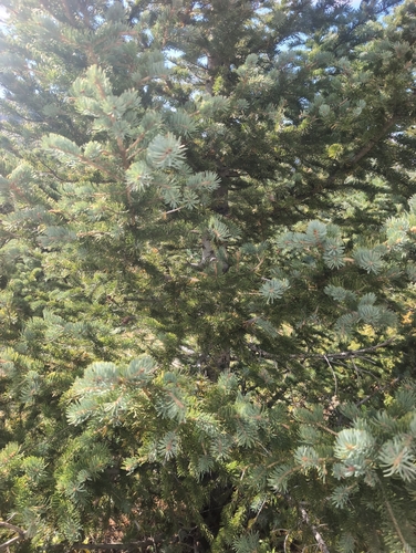
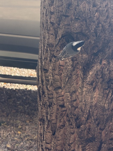
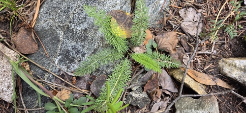
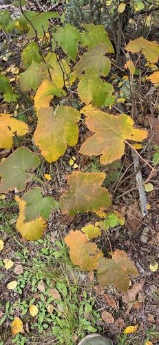
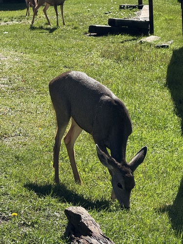
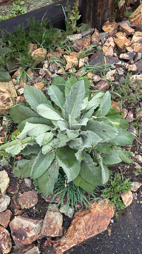

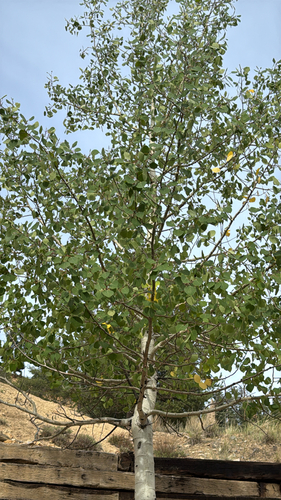
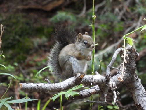
Research-grade observations from iNaturalist (within ~15 mi).
Nearest stream gauge
Events
Gallery
Sources
- • Wikipedia
- • US Census Bureau (ACS 5-year estimates)
- • NOAA National Weather Service
- • Wikidata
- • NCES via Urban Institute Education Data Portal
- • GBIF (Global Biodiversity Information Facility)
- • iNaturalist
- • CDC PLACES
- • Open-Meteo / sunrise-sunset.org
- • Wikipedia Pageviews API
- • Open Library
- • NASA EONET