Browse / Norway / Møre og Romsdal / Bud
Bud
Møre og Romsdalvillage

Bud
Total population
780
Air quality index
Demographic figures from Statistics Norway (SSB). Overview below cites Wikipedia and may reference a different year.
City facts
Facts from Wikidata (CC0).
Overview
Bud is a fishing village in Hustadvika Municipality in Møre og Romsdal county in western Norway. The village is located on the Romsdal peninsula along the Atlanterhavsveien road, west of the village of Hustad, north of the village of Tornes, and east of the Bjørnsund islands. Bud Church is located in the village.
Read more on WikipediaHistory & geography
History
Due to a good natural harbor and rich fisheries, Bud grew to become the largest village between the towns of Trondheim and Bergen on the west coast of Norway during the Middle Ages. At the death of King Frederick I in 1533, it was the site of the last independent Norwegian Privy Council, organized by Olav Engelbrektsson, Archbishop of Nidaros. The meeting led to a failed attempt to break away from the Kalmar Union and King Christian III, and claim Norway's independence by rejecting the Protestant Reformation. The council was the last of its kind in Norway for 270 years. In 1838, the whole parish of Bud was established as Bud Municipality. The municipality was reduced in size in 1918 when Hustad Municipality was created. During World War II, the Germans heavily fortified Bud and the nearby Hustadvika coastal area in anticipation of an Allied invasion, as a part of the Atlantic Wall. In 1964, Bud Municipality was dissolved when it was merged into Fræna Municipality.
Excerpted from the corresponding Wikipedia article (CC BY-SA).
Geography
Coordinates & boundaries from the US Census TIGER/Line shapefiles.
Climate
Air quality
Current readings from Open-Meteo Air Quality API (Copernicus CAMS European reanalysis).
Walkability
Amenities nearby
Wildlife & biodiversity
Most-observed species
- Eurasian CurlewNumenius arquata (Linnaeus, 1758) · Aves1,013
- Eurasian OystercatcherHaematopus ostralegus Linnaeus, 1758 · Aves742
- Gray/Purple HeronArdea cinerea Linnaeus, 1758 · Aves724
- Eurasian BlackbirdTurdus merula Linnaeus, 1758 · Aves707
- White-tailed EagleHaliaeetus albicilla (Linnaeus, 1758) · Aves698
- MallardAnas platyrhynchos Linnaeus, 1758 · Aves687
- Herring GullLarus argentatus Pontoppidan, 1763 · Aves681
- Great TitParus major Linnaeus, 1758 · Aves669
Citizen-science & research observations from the Global Biodiversity Information Facility (GBIF).
Earthquake history
Most recent
- M 3.7 — 2007-01-216 km SW of Midsund, Norway
- M 3.3 — 2005-01-1616 km WNW of Steinshamn, Norway
- M 2.6 — 2004-07-31southern Norway
Events from the USGS Earthquake Catalog (global) (FDSN Event Web Service).
Photos
Sights & places nearby
Notable people from here


People born within ~10 km, from Wikidata (CC0). Click any name for their Wikipedia article.
Nearby places in Møre og Romsdal
Geography & sun
Elevation, sunrise/sunset and daylight from Open-Meteo. Solar climatology from NASA POWER.
Nearby airports
Public attention
Pageview totals from the Wikimedia Pageviews API.
Books about this place
Recent natural events nearby
Ground air-quality sensors
Recently spotted species
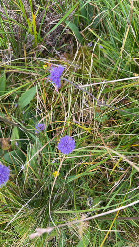
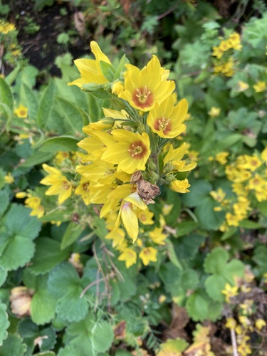
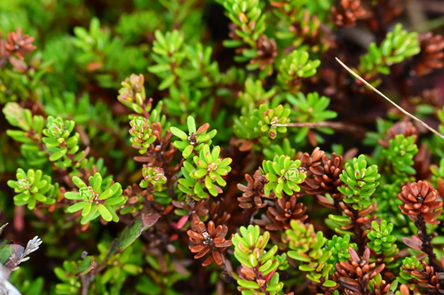
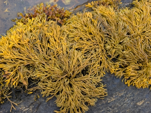
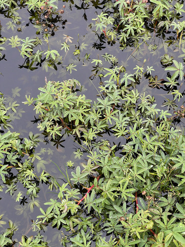
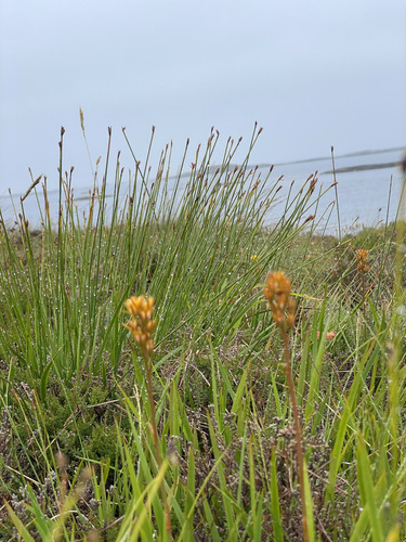
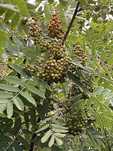
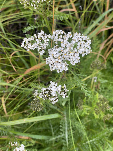
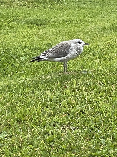
Research-grade observations from iNaturalist (within ~15 mi).
Events
Gallery
Official Identifiers
SSB — Statistics Norway
- Kommunenr
- 1549
- Wikidata
- Q64224830
Kommunenummer via Wikidata P2504
Sources
- • Wikipedia
- • Wikidata
- • Open-Meteo Air Quality (CAMS)
- • USGS Earthquake Catalog (global feed)
- • GBIF (Global Biodiversity Information Facility)
- • iNaturalist
- • Open-Meteo / sunrise-sunset.org
- • Wikipedia Pageviews API
- • Wikidata SPARQL (CC0) — population, area, elevation, inception, head of government, Commons image
- • SSB — Statistics Norway — Kommunenummer via Wikidata P2504