Browse / Norway / Buskerud / Flå
Flå
Buskerudvillage

Flå
Total population
1,122
Founded
1905
Demographic figures from Statistics Norway (SSB). Overview below cites Wikipedia and may reference a different year.
City facts
Facts from Wikidata (CC0).
Overview
Flå is a municipality in Buskerud county, Norway. The administrative centre of the municipality is the village of Flå. The municipality of Flå was established when it was separated from Nes Municipality on 1 January 1905. The municipality lies at the most southeasterly point in the valley and traditional region of Hallingdal.
Read more on WikipediaHistory & geography
History
Ancient routes went to Vestlandet through Valdres and Hallingdal and down Røldal to Odda. Reflecting this route, Hallingdal and its neighboring valley of Valdres in Oppland to the north were originally populated by migrants from Vestlandet and spoke a western dialect. In recognition of this, Cardinal Nicholas Breakespear, who was in Scandinavia as papal legate in 1153, included Hallingdal in the diocese of Stavanger.
Geography
Flå Municipality is the southernmost municipality within Hallingdal and forms the gateway to Hallingdal from the south. Flå Municipality is bordered in the north by Sør-Aurdal Municipality, in the east by Ringerike Municipality, in the south by Krødsherad Municipality and Sigdal Municipality, in the west by Nore og Uvdal Municipality, and in the northwest by Nesbyen Municipality. Travelers from the south pass through the long Hallingporten tunnel on Norwegian National Road 7 (Riksvei 7) just located north of Gulsvik. Vassfaret is a forested mountain valley bordering Flå. The Norefjell mountain range also includes parts of Flå Municipality as well as Nesbyen Municipality, Ringerike Municipality, and Sør-Aurdal Municipality. Lake Krøderen (Krøderfjord) stretches about 41 km north from the village of Krøderen and reaches to Gulsvik. The Hallingdalselva river flows into the lake from the north. The area includes the Vassfaret and Vidalen Conservation area which includes Festningen Nature Reserve and Bukollen Nature Reserve as well as the Inner Vassfaret Conservation area which includes Bringen Nature Reserve. .
Excerpted from the corresponding Wikipedia article (CC BY-SA).
Geography
Coordinates & boundaries from the US Census TIGER/Line shapefiles.
Climate
Air quality
Walkability
Amenities nearby
Wildlife & biodiversity
Earthquake history
Photos
Sights & places nearby
Notable people from here


People born within ~10 km, from Wikidata (CC0). Click any name for their Wikipedia article.
Nearby places in Buskerud
Geography & sun
Elevation, sunrise/sunset and daylight from Open-Meteo. Solar climatology from NASA POWER.
Nearby airports
Public attention
Pageview totals from the Wikimedia Pageviews API.
Books about Flå
Search results from Open Library.
Recent natural events nearby
Ground air-quality sensors
Recently spotted species
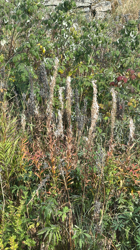
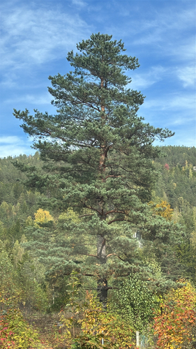
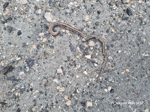
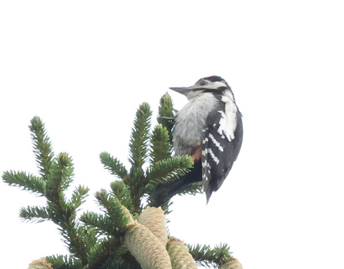
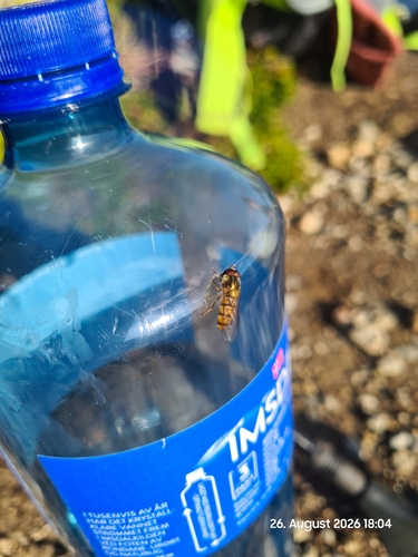
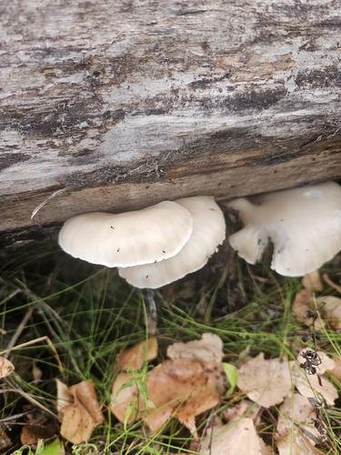
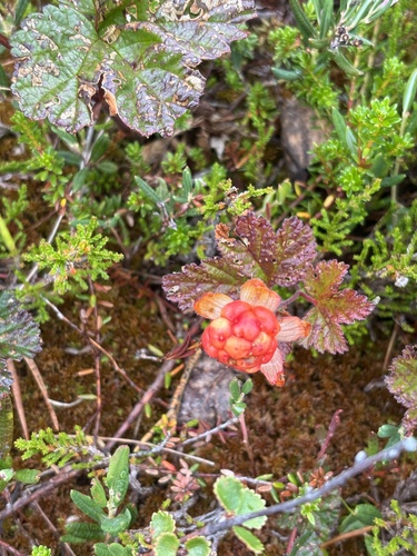
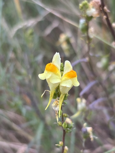
Research-grade observations from iNaturalist (within ~15 mi).
Events
Gallery
Sources
- • Wikipedia
- • Wikidata
- • iNaturalist
- • Open-Meteo / sunrise-sunset.org
- • Wikipedia Pageviews API
- • Open Library
- • Wikidata SPARQL (CC0) — population, area, elevation, inception, head of government, Commons image