Browse / Norway / Innlandet / Follebu
Follebu
Innlandetvillage

Follebu
Total population
1,263
Demographic figures from Statistics Norway (SSB). Overview below cites Wikipedia and may reference a different year.
City facts
Facts from Wikidata (CC0).
Overview
Follebu is a village in Gausdal Municipality in Innlandet county, Norway. The village is located along the river Gausa, about 3 kilometres (1.9 mi) to the southeast of the village of Segalstad bru. The town of Lillehammer lies about 15 kilometres (9.3 mi) to the southeast of Follebu.
Read more on WikipediaHistory & geography
Geography
Coordinates & boundaries from the US Census TIGER/Line shapefiles.
Climate
Air quality
Walkability
Amenities nearby
Wildlife & biodiversity
Most-observed species
- Great TitParus major Linnaeus, 1758 · Aves3,538
- Eurasian Blue TitCyanistes caeruleus (Linnaeus, 1758) · Aves3,067
- Eurasian MagpiePica pica (Linnaeus, 1758) · Aves2,580
- Eurasian BullfinchPyrrhula pyrrhula (Linnaeus, 1758) · Aves2,466
- FieldfareTurdus pilaris Linnaeus, 1758 · Aves2,457
- European GreenfinchChloris chloris (Linnaeus, 1758) · Aves2,218
- Common GoldeneyeBucephala clangula (Linnaeus, 1758) · Aves2,028
- Eurasian Tree SparrowPasser montanus (Linnaeus, 1758) · Aves2,015
Citizen-science & research observations from the Global Biodiversity Information Facility (GBIF).
Earthquake history
Events from the USGS Earthquake Catalog (global) (FDSN Event Web Service).
Photos
Sights & places nearby
Notable people from here
Nearby places in Innlandet
- Moelv24.1 mi away · pop. 4,614
- Kongsvinger91.5 mi away · pop. 12,466
- San Nicolò di Comelico1015 mi away · pop. 426
- Valle1015.7 mi away
- San Pietro di Cadore1016 mi away · pop. 1,839
- Auronzo di Cadore1016.9 mi away · pop. 3,028
- Lorenzago di Cadore1021.9 mi away · pop. 578
- Rocca Pietore1023.6 mi away · pop. 1,451
- Calalzo di Cadore1023.9 mi away · pop. 2,419
- Pieve di Cadore1025.1 mi away · pop. 3,794
- Cencenighe Agordino1029.2 mi away · pop. 1,484
- Ospitale di Cadore1031.7 mi away · pop. 365
Geography & sun
Elevation, sunrise/sunset and daylight from Open-Meteo. Solar climatology from NASA POWER.
Nearby airports
Public attention
Pageview totals from the Wikimedia Pageviews API.
Books about this place
Recent natural events nearby
Ground air-quality sensors
Recently spotted species
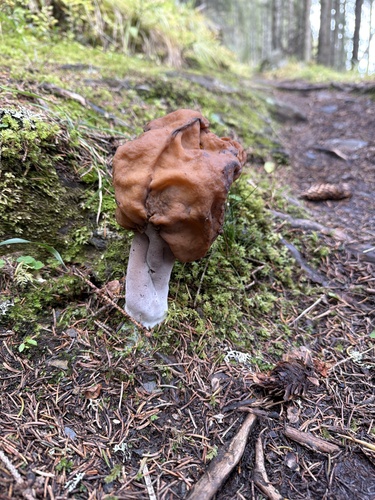
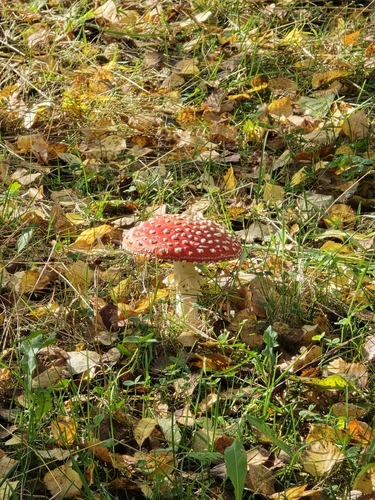
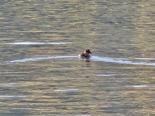
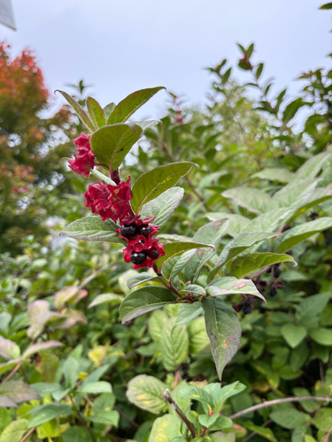
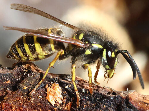
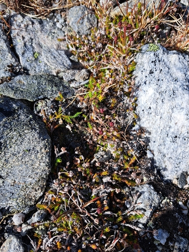
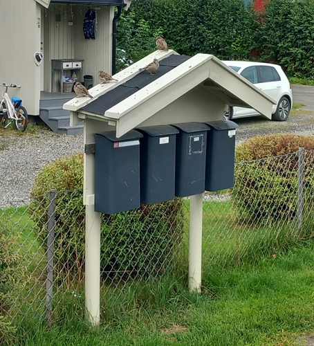
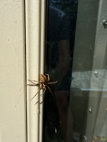
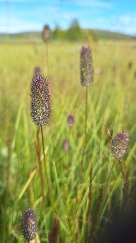
Research-grade observations from iNaturalist (within ~15 mi).
Events
Gallery
Sources
- • Wikipedia
- • Wikidata
- • USGS Earthquake Catalog (global feed)
- • GBIF (Global Biodiversity Information Facility)
- • iNaturalist
- • Open-Meteo / sunrise-sunset.org
- • Wikipedia Pageviews API
- • Wikidata SPARQL (CC0) — population, area, elevation, inception, head of government, Commons image