Browse / Norway / Finnmark / Gjesvaer
Gjesvaer
Finnmarkvillage

Gjesvaer
Total population
130
Demographic figures from Statistics Norway (SSB). Overview below cites Wikipedia and may reference a different year.
City facts
Facts from Wikidata (CC0).
Overview
Gjesvær (Norwegian) or Geaissvearra (Northern Sami) is an old fishing village in Nordkapp Municipality in Finnmark county, Norway. It is the only place in Finnmark known from the Viking Age and is mentioned in the Heimskringla saga as Geirsver. The name comes from the name of a bird called geirfugl.
Read more on WikipediaHistory & geography
History
The location was used by Vikings on the way to Bjarmaland (see Ottar from Hålogaland), and probably also for gathering food on the nearby Gjesværstappan islands which contain one of the largest seabird colonies in Norway. Like most other places in Finnmark, all buildings in the village were burned down in 1944 by the German occupying forces. Gjesvær Chapel, built in 1960, is considered a cultural monument. Gjesvær now has approximately 100 inhabitants, but at the beginning of the 1970s, it had about 350 people. It has a fish processing plant, local shop, post office, and primary school. The main industry is fishing, but in recent years there has been increased emphasis on tourism, activities including fishing and bird watching trips to the Gjesværstappan nature reserve. Gjesvær was historically a part of Måsøy Municipality, along with the sparsely populated western part of Magerøya island. There were no road connections across the island, so residents traveled by boat whenever they left the village and by boat, they are closer to Måsøy. In 1977, the long Norwegian County Road 156 was completed, connecting Gjesvær by a causeway to Magerøya island and then continuing on to Honningsvåg. For this reason, the municipal boundary was moved. On 1 January 1984, Gjesvær and the western part of Magerøya were transferred from Måsøy municipality to Nordkapp Municipality.
Excerpted from the corresponding Wikipedia article (CC BY-SA).
Geography
Coordinates & boundaries from the US Census TIGER/Line shapefiles.
Climate
10-year averages from ERA5 reanalysis (Open-Meteo).
Air quality
Walkability
Amenities nearby
Wildlife & biodiversity
Earthquake history
Photos
Sights & places nearby
Notable people from here
Nearby places in Finnmark
- Skarsvåg10.1 mi away
- Måsøy10.4 mi away
- Kamøyvær12.3 mi away
- Storbukt15.1 mi away
- Honningsvåg15.8 mi away · pop. 2,261
- Nordvågen16.7 mi away · pop. 398
- Havøysund - Ávanuorri17.5 mi away · pop. 903
- Gunnarnes29.1 mi away
- Ingøy29.6 mi away
- Tufjord33.5 mi away · pop. 84
- Kokelv37.4 mi away
- Leaibevuotna - Olderfjord - Leipovuono43.7 mi away
Geography & sun
Elevation, sunrise/sunset and daylight from Open-Meteo. Solar climatology from NASA POWER.
Nearby airports
Public attention
Pageview totals from the Wikimedia Pageviews API.
Books about this place
Recent natural events nearby
Ground air-quality sensors
Recently spotted species
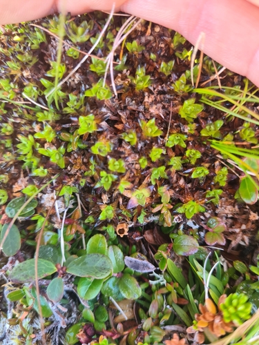
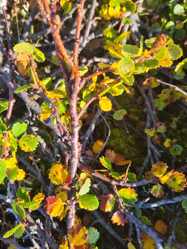
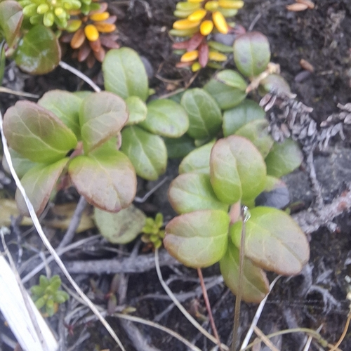
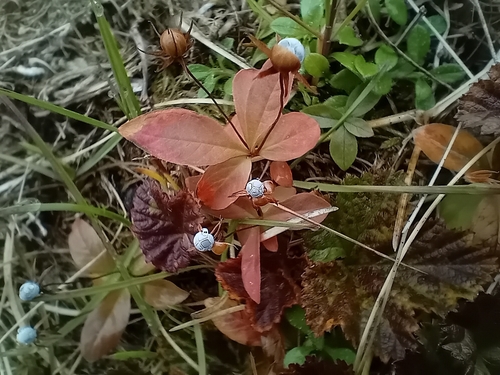
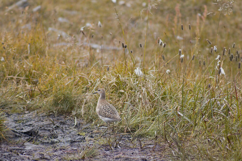
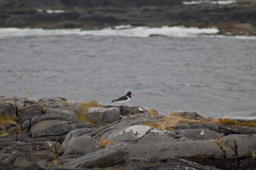
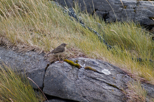
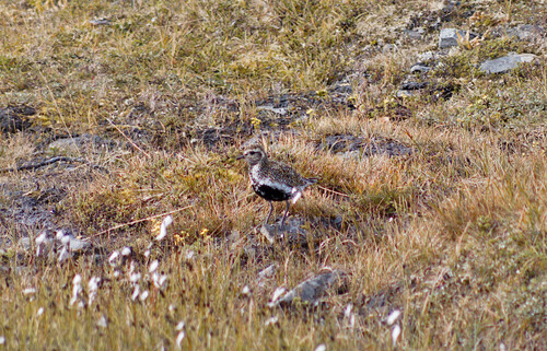
Research-grade observations from iNaturalist (within ~15 mi).
Events
Gallery
Sources
- • Wikipedia
- • Open-Meteo (ERA5 reanalysis)
- • Wikidata
- • iNaturalist
- • Open-Meteo / sunrise-sunset.org
- • Wikipedia Pageviews API
- • Wikidata SPARQL (CC0) — population, area, elevation, inception, head of government, Commons image