Browse / Norway / Finnmark / Honningsvåg
Honningsvåg
Finnmarktown

Honningsvåg
Total population
2,261
Demographic figures from Statistics Norway (SSB). Overview below cites Wikipedia and may reference a different year.
City facts
Facts from Wikidata (CC0).
Overview
Honningsvåg is the northernmost town in mainland Norway. It is located in Nordkapp Municipality in Finnmark county. Honningsvåg was declared a city in 1996, despite its small population. The 1.04-square-kilometre (260-acre) town has a population of 2,245 (2023), which gives it a population density of 2,159 inhabitants per square kilometre (5,590/sq mi).
Read more on WikipediaHistory & geography
History
The area was first settled in prehistory, as early as 10,300 years ago. The sea was probably the main food source. Honningsvåg was declared a city in 1996 by the municipal council of Nordkapp. National legislation was passed in 1997 that states that a Norwegian city must have at least 5,000 inhabitants, but since Honningsvåg was declared a city in 1996, it was exempt from this legislation. This makes it one of the smallest cities in Norway. The town (originally it was a village) is named after the old Honningsvaag farm (). The meaning of the first element is uncertain. It may be from , an old name (no longer used) for the nearby mountain Storefjell (). This mountain has a tall, hornlike peak near Honningsvåg which would imply that the name was derived from the word horn. The last element is which means "inlet" or "bay". The full name thus means "the bay lying beneath the mountain Hornungr."
Excerpted from the corresponding Wikipedia article (CC BY-SA).
Geography
Coordinates & boundaries from the US Census TIGER/Line shapefiles.
Climate
Air quality
Walkability
Amenities nearby
Wildlife & biodiversity
Earthquake history
Photos
Sights & places nearby
Notable people from here


People born within ~10 km, from Wikidata (CC0). Click any name for their Wikipedia article.
Nearby places in Finnmark
- Storbukt1.1 mi away
- Nordvågen1.2 mi away · pop. 398
- Kamøyvær5 mi away
- Skarsvåg9.8 mi away
- Gjesvaer15.8 mi away · pop. 130
- Måsøy22 mi away
- Havøysund - Ávanuorri29.7 mi away · pop. 903
- Kjøllefjord31 mi away · pop. 846
- Lebesby - Davvesiida36.5 mi away
- Kokelv39.5 mi away
- Leaibevuotna - Olderfjord - Leipovuono40.6 mi away
- Gunnarnes41.9 mi away
Geography & sun
Elevation, sunrise/sunset and daylight from Open-Meteo. Solar climatology from NASA POWER.
Nearby airports
Public attention
Pageview totals from the Wikimedia Pageviews API.
Books about this place
Recent natural events nearby
Ground air-quality sensors
Recently spotted species
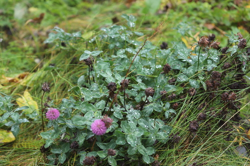
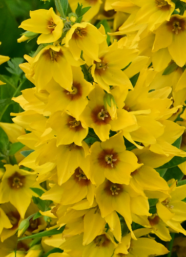
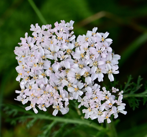
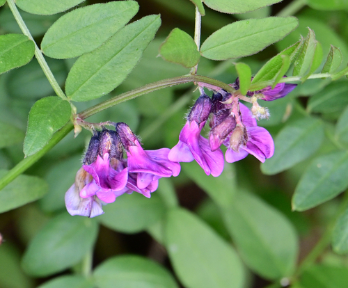
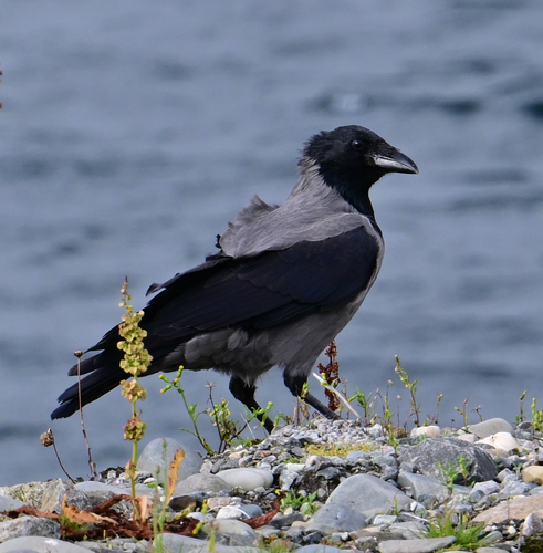
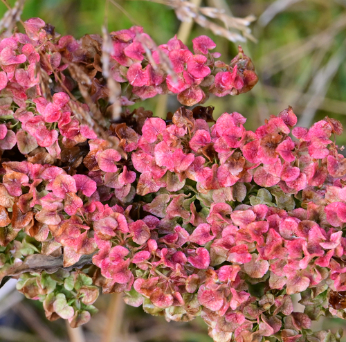
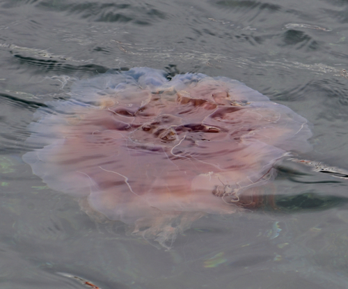
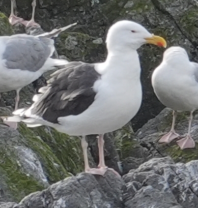
Research-grade observations from iNaturalist (within ~15 mi).
Events
Gallery
Sources
- • Wikipedia
- • Wikidata
- • iNaturalist
- • Open-Meteo / sunrise-sunset.org
- • Wikipedia Pageviews API
- • Wikidata SPARQL (CC0) — population, area, elevation, inception, head of government, Commons image