Browse / Norway / Østfold / Halden
Halden
Østfoldtown

Halden
Total population
26,320
Demographic figures from Statistics Norway (SSB). Overview below cites Wikipedia and may reference a different year.
City facts
Sister cities
Facts from Wikidata (CC0).
Overview
Halden, between 1665 and 1928 known as Fredrikshald, is both a town and a municipality in Østfold county, Norway. The municipality borders Sarpsborg to the northwest, Rakkestad to the north and Aremark to the east, as well as the Swedish municipalities Strömstad, Tanum and Dals-Ed respectively to the southwest, south and southeast.
Read more on WikipediaHistory & geography
History
Evidence of early human settlements in this region of Norway have been found, particularly in the Svinesund area of the municipality where evidence of early settlements from the Nordic Bronze Age have been found. Named after a small farm Hallen () first mentioned in 1629, "Halden", became the city of Fredrikshald in 1665, named after Frederick III of Denmark. The Gud med oss (God be with us) coat-of-arms created in 1665 shows a knight standing on a mountain, yellow on a blue background, and was inspired by the bravery of the citizens of the city in the Dano-Swedish War (1658–1660). Swedish forces unsuccessfully attempted to invade the town six times between 1658 and 1814. As a reference to the town's citizens burning their own houses to prevent them being taken on 4 July 1716 by the forces of King Charles XII of Sweden, Halden is one of only two cities mentioned in Norway's national anthem. In 1718, the Great Northern War ended when Charles XII was shot and killed at the Fredriksten fortress. The fortress had been erected in the 17th century as a replacement for the Bohus Fortress lost at the Treaty of Roskilde in 1658 when Bohuslän was ceded to Sweden. Halden has never been captured by force by any invading army, although it was occupied by Nazi forces in WWII. In an 1835 census, Fredrikshald was the seventh largest town or city in Norway, with 4,921 inhabitants. In 1838, Fredrikshald became a city municipality (), and in 1928, the name was changed back to Halden. Tistedalen, which is east of Halden, was part of the city from 1686 to 1967, until it was separated from Halden. At the same time, the area of Halden, Tistedalen, and the rural municipalities of Berg and Idd, became the Halden municipality on 1 January 1967.
Excerpted from the corresponding Wikipedia article (CC BY-SA).
Geography
Coordinates & boundaries from the US Census TIGER/Line shapefiles.
Climate
Air quality
Walkability
Amenities nearby
Wildlife & biodiversity
Earthquake history
Photos
Sights & places nearby
Notable people from here


People born within ~10 km, from Wikidata (CC0). Click any name for their Wikipedia article.
Nearby places in Østfold
- Skjærvika12.8 mi away · pop. 1,036
- Skjærhalden14.2 mi away · pop. 928
- Utgård18.5 mi away · pop. 326
- Askim32.7 mi away · pop. 15,629
- Vyšetice671.5 mi away · pop. 79
- Blanice678.3 mi away · pop. 59
- Radvanov678.5 mi away · pop. 45
- Vrbno678.6 mi away · pop. 85
- Makov679.7 mi away · pop. 95
- Padařov680 mi away · pop. 126
- Horní Světlá680.5 mi away · pop. 26
- Pohnání680.5 mi away · pop. 80
Geography & sun
Elevation, sunrise/sunset and daylight from Open-Meteo. Solar climatology from NASA POWER.
Nearby airports
Public attention
Pageview totals from the Wikimedia Pageviews API.
Books about this place
Recent natural events nearby
Ground air-quality sensors
Recently spotted species
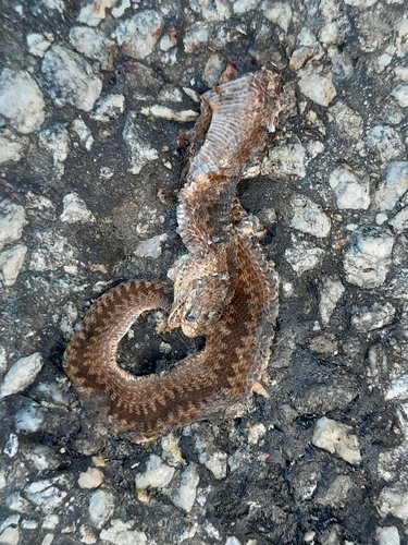
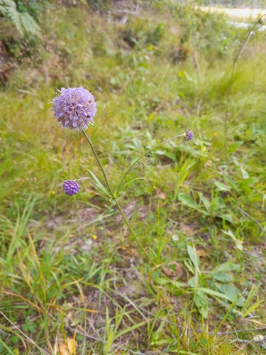
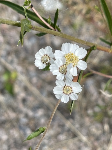
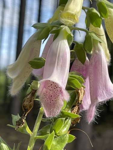
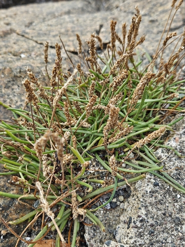
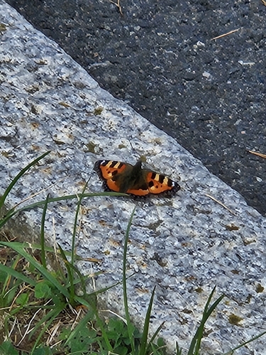
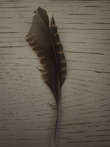
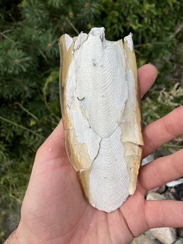
Research-grade observations from iNaturalist (within ~15 mi).
Events
Gallery
Official Identifiers
SSB — Statistics Norway
- Kommunenr
- 3101
- Population (Wikidata)
- 32,082
- Wikidata
- Q109042
Kommunenummer via Wikidata P2504
Sources
- • Wikipedia
- • Wikidata
- • iNaturalist
- • Open-Meteo / sunrise-sunset.org
- • Wikipedia Pageviews API
- • Wikidata SPARQL (CC0) — population, area, elevation, inception, head of government, Commons image
- • SSB — Statistics Norway — Kommunenummer via Wikidata P2504