Browse / Norway / Finnmark / Kirkenes
Kirkenes
Finnmarktown

Kirkenes
Total population
3,424
Founded
1826
Demographic figures from Statistics Norway (SSB). Overview below cites Wikipedia and may reference a different year.
City facts
Facts from Wikidata (CC0).
Overview
Kirkenes, known as Girkonjárga in Northern Sami and Kirkkoniemi in Kven, is a town in Sør-Varanger Municipality in Finnmark county, in the far northeastern part of Norway. The town lies on a peninsula along the Bøkfjorden, an arm of the large Varangerfjorden, and is located just a few kilometres from the Norway–Russia border.
Read more on WikipediaHistory & geography
History
The area around Kirkenes was a common Norwegian–Russian district until 1826, when the present border was settled. The original name of the peninsula was Piselvnes ("Pis River headland"), but this was changed to Kirkenes (meaning "church headland") after the Kirkenes Church was built here in 1862. Kirkenes was a village until 1998 when it received town status. During the occupation of Norway by Nazi Germany, Kirkenes was one of the many bases for the German Kriegsmarine and the Luftwaffe's Jagdgeschwader 5, and apart from that, the area served as a main base for supplies to the Murmansk front (see Lapland War). Reportedly, Kirkenes was second after Malta on a list of European towns experiencing air-raid alarms and attacks, with more than 1,000 alarms and 320 air attacks. The town was released by the Red Army on 25 October 1944 when the German Wehrmacht was pushed out and fled the area after having destroyed most of the remaining infrastructure. Only 13 houses survived the war. Close to the town there is a memorial to 11 freedom fighters who helped the partisans collect information about the German occupation. In the summer of 1943, their activities were discovered and many of them were sent to a prisoner-of-war camp near Kirkenes. Following a court-martial the 11 were sentenced to death and were killed near the memorial spot on 18 August 1943. When the common grave was opened in 1946 it was found that the men had been beaten to death. Following the post mortem and memorial service, the bodies were returned to their homesteads.
Geography
Kirkenes is located in the extreme northeastern part of Norway on the Bøkfjorden, a branch of the Varangerfjorden, which is a vast bay connected to the Barents Sea near the Russian–Norwegian border. The town is situated about north of the Arctic Circle, resulting in midnight sun and polar night both lasting for sustained lengths of time depending on season. Kirkenes is located just east of the 30th meridian east. As a result, it is further east than Istanbul, which marks one of the European borders with Asia. The easternmost point of Norway and the municipality is also at a point further east than Saint Petersburg. Unlike the vast majority of Norway, Kirkenes is located east of the neighbouring country of Finland. Because of this, travelling directly west from Kirkenes actually changes the time zone forwards instead of backwards, as it usually does. Travelling directly east from Kirkenes (into Russia) changes the time zone forward by an hour in summer, but by two in winter. When Russia implemented permanent daylight saving time between 2011 and 2014, there was a three-hour difference travelling forward from the eastern part of the municipality to westerly Russian areas during winter. Kirkenes shares time zone with areas much further west, e.g. Galicia in Spain which has a solar time difference of hours. One can drive south, and walk , into the Øvre Pasvik National Park, reaching the border point of the three countries (Muotkavaara), where the three time zones meet. There are only a few such places in the world. It is forbidden, according to both Norwegian and Russian law, to circumambulate the border marker, as the only lawful route across the Norwegian–Russian border is at the border control at Storskog. The midnight sun shines from May 18 to July 25. The…
Excerpted from the corresponding Wikipedia article (CC BY-SA).
Geography
Coordinates & boundaries from the US Census TIGER/Line shapefiles.
Climate
Air quality
Walkability
Amenities nearby
Wildlife & biodiversity
Earthquake history
Photos
Sights & places nearby
Notable people from here


People born within ~10 km, from Wikidata (CC0). Click any name for their Wikipedia article.
Nearby places in Finnmark
- Jakobsnes - Lávvonjárga - Jaakonniemi1.9 mi away
- Hesseng3 mi away · pop. 1,623
- Elvenes - Johkanjárga - Jokiniemi3.6 mi away
- Sandnes - Goađak - Kotajoki4.4 mi away
- Bjørnevatn4.4 mi away · pop. 2,603
- Neiden - Njávdán - Njauddâm - Näätämö16.1 mi away
- Svanvik18.9 mi away
- Bugøyfjord - Reaisvuonna - Reisivuono19.3 mi away
- Bugøynes - Buođggák - Pykeijä19.5 mi away
- Kiby23.6 mi away
- Golnes - Kullaselva23.9 mi away
- Ekkerøya - Ekrea24.2 mi away
Geography & sun
Elevation, sunrise/sunset and daylight from Open-Meteo. Solar climatology from NASA POWER.
Nearby airports
Public attention
Pageview totals from the Wikimedia Pageviews API.
Books about Kirkenes
Search results from Open Library.
Recent natural events nearby
Ground air-quality sensors
Recently spotted species

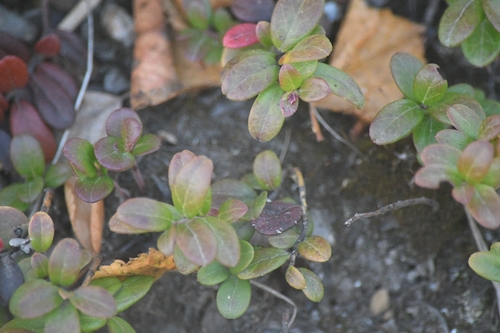
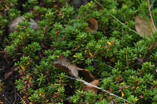
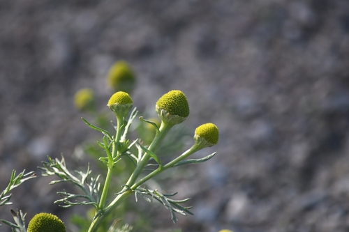
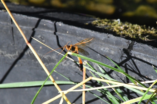
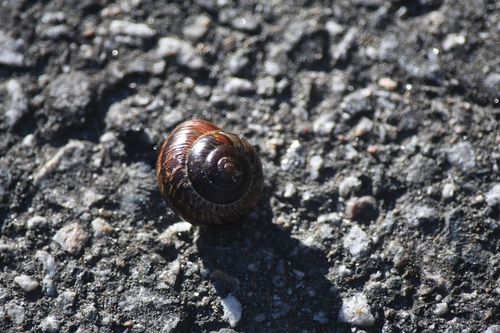

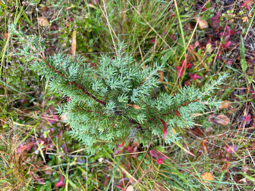
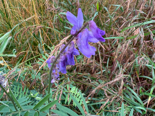
Research-grade observations from iNaturalist (within ~15 mi).
Events
Notable, recurring, and historical events associated with Kirkenes, sourced from Wikidata.
Source: Wikidata (CC0).
Gallery
Sources
- • Wikipedia
- • Wikidata
- • iNaturalist
- • Open-Meteo / sunrise-sunset.org
- • Wikipedia Pageviews API
- • Open Library
- • Wikidata SPARQL (CC0) — population, area, elevation, inception, head of government, Commons image