Browse / Norway / Buskerud / Kongsberg
Kongsberg
Buskerudtown

Kongsberg
Total population
23,770
Founded
1624
Demographic figures from Statistics Norway (SSB). Overview below cites Wikipedia and may reference a different year.
City facts
Sister cities
Facts from Wikidata (CC0).
Overview
Kongsberg is a historical mining town and municipality in Buskerud county, Norway. The city is located on the river Numedalslågen at the entrance to the valley of Numedal. Kongsberg has been a centre of silver mining, arms production and forestry for centuries, and is the site of high technology industry including the headquarters of Norway's largest defence contractor Kongsberg Gruppen.
Read more on WikipediaHistory & geography
History
Kongsberg was founded by Danish-Norwegian King Christian IV as a mining community in 1624 after the discovery of silver. In its second year, the town of Kongsberg and the Kongsberg Silver Mines began. According to official records, silver was first discovered by the shepherds children Helga Verp and Jacob Grosvold in the summer of 1623. However, the existence of deposits of precious metals was known previously, as evidenced by indications of earlier silver mining. With the rise of silver mining, Kongsberg became the largest industrial center in Norway before the industrial revolution. At the peak of silver mining in the early eighteenth century, Kongsberg's silver mines and related industries contributed 10% of the Denmark–Norway gross national product. To develop the Kongsberg Silver Mines, Christian IV hired Germans from the silver mines of Saxony and Harz and brought in Germans from other mines in Norway. The Germans brought their knowledge of mining technology, especially important during the start-up phase. Before 1623, the city was located in the royal territory of Sandsvær. Four years after the establishment of the Kongsberg Silver Mines, most of the 1,500 workers and officials were still German. Gradually, Norwegians entered the workforce and were hired as supervisors. In 1636, 1,370 Germans and 1,600 Norwegians were employed there. In 1648, there were 1,500 Germans and 2,400 Norwegians working in Kongsberg. Gunpowder was officially introduced in mining in 1681. Mining in the particularly hard rock of Kongsberg Mountain was energy intensive, so the silver mine continued to develop new technology to reduce production costs. A large artificial dam powered the mine's hoists before electricity was introduced. In 1624, a road from Hokksund to Kongsberg was built…
Geography
Kongsberg is located at the mouth of the valley Numedal; farther to the South the valley is called Lågendalen. Flesberg Municipality is located to the north; Øvre Eiker Municipality and Holmestrand Municipality are to the east; Larvik Municipality, Siljan Municipality, and Skien Municipality are to the south; and Midt-Telemark Municipality and Notodden Municipality are to the west. Of these, the two first lie in Buskerud county like Kongsberg, while Holmestrand and Larvik lie in Vestfold county, and the others lie in Telemark county. The town is divided by the river Numedalslågen, which has three waterfalls in the town itself.
Excerpted from the corresponding Wikipedia article (CC BY-SA).
Geography
Coordinates & boundaries from the US Census TIGER/Line shapefiles.
Climate
Air quality
Walkability
Amenities nearby
Wildlife & biodiversity
Most-observed species
- Great TitParus major Linnaeus, 1758 · Aves3,117
- Eurasian Blue TitCyanistes caeruleus (Linnaeus, 1758) · Aves2,764
- MallardAnas platyrhynchos Linnaeus, 1758 · Aves2,313
- Eurasian MagpiePica pica (Linnaeus, 1758) · Aves2,252
- Graylag GooseAnser anser (Linnaeus, 1758) · Aves2,240
- Common ChaffinchFringilla coelebs Linnaeus, 1758 · Aves2,199
- Hooded CrowCorvus cornix Linnaeus, 1758 · Aves2,178
- Common GoldeneyeBucephala clangula (Linnaeus, 1758) · Aves2,176
Citizen-science & research observations from the Global Biodiversity Information Facility (GBIF).
Earthquake history
Most recent
- M 3.9 — 2026-04-261 km SSE of Sørumsand, Norway
- M 2.9 — 2008-05-254 km WSW of Åneby, Norway
- M 2.6 — 2005-01-297 km NNE of Hvittingfoss, Norway
- M 2.6 — 2004-12-2910 km WNW of Flateby, Norway
Events from the USGS Earthquake Catalog (global) (FDSN Event Web Service).
Photos
Sights & places nearby
Notable people from here


People born within ~10 km, from Wikidata (CC0). Click any name for their Wikipedia article.
Nearby places in Buskerud
- Darbu5.5 mi away · pop. 677
- Vestfossen8.8 mi away · pop. 3,299
- Svene8.9 mi away · pop. 397
- Hokksund11.4 mi away · pop. 9,089
- Lampeland11.7 mi away · pop. 651
- Steinberg12.5 mi away
- Krokstadelva13.8 mi away
- Mjøndalen13.8 mi away
- Skotselv14.6 mi away · pop. 768
- Flesberg15.5 mi away
- Solbergelva16.3 mi away
- Lyngdal17.2 mi away
Geography & sun
Elevation, sunrise/sunset and daylight from Open-Meteo. Solar climatology from NASA POWER.
Nearby airports
Public attention
Pageview totals from the Wikimedia Pageviews API.
Books about Kongsberg
Search results from Open Library.
Recent natural events nearby
Ground air-quality sensors
Recently spotted species
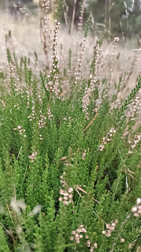
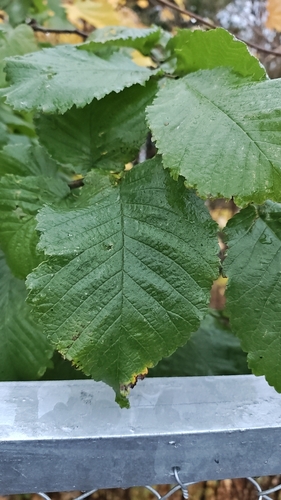
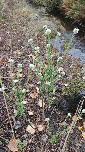
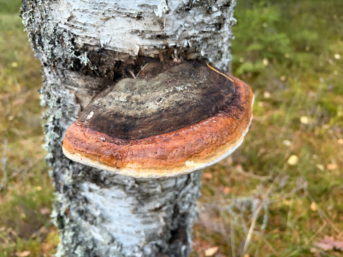
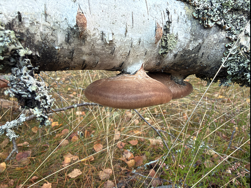
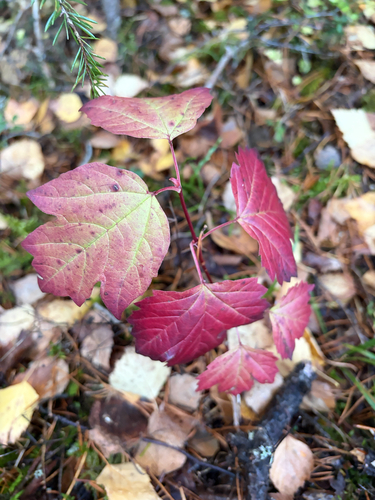
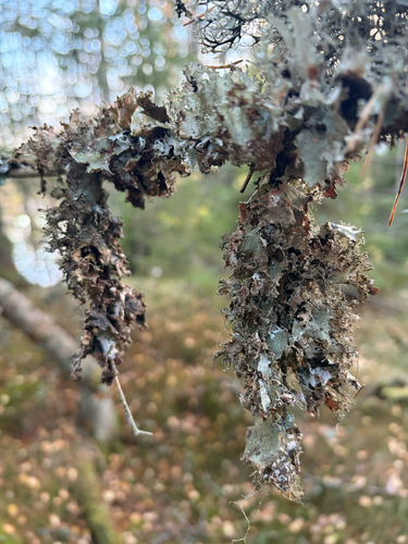
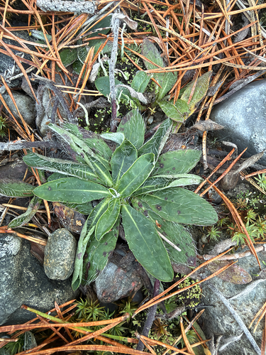
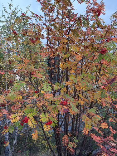
Research-grade observations from iNaturalist (within ~15 mi).
Events
Gallery
Sources
- • Wikipedia
- • Wikidata
- • USGS Earthquake Catalog (global feed)
- • GBIF (Global Biodiversity Information Facility)
- • iNaturalist
- • Open-Meteo / sunrise-sunset.org
- • Wikipedia Pageviews API
- • Open Library
- • Wikidata SPARQL (CC0) — population, area, elevation, inception, head of government, Commons image