Browse / Norway / Buskerud / Hokksund
Hokksund
Buskerudtown

Hokksund
Total population
9,089
Air quality index
Demographic figures from Statistics Norway (SSB). Overview below cites Wikipedia and may reference a different year.
City facts
Overview
Hokksund is a town in the county of Buskerud in Eastern Norway. It is the largest population center and administrative center of the municipality of Øvre Eiker.
Read more on WikipediaHistory & geography
History
The first national road known as the King's road was built between Hokksund and Kongsberg in 1624. Nøstetangen glassworks factory was established in the late 18th century in the town. In 1834, the Hoen treasure, the country's largest gold find from the Viking era, was discovered at the Nedre Hoen farm in Hokksund. Weighing more than , the gold jewellery and artifacts are on display at the Museum of Cultural History, Oslo.
Geography
Hokksund is located in the county of Buskerud in Eastern Norway. Located at an altitude of , the town roughly covers an area of . The Drammenselva proceeds towards Drammen, where it flows into the fjord of Drammensfjorden. The Hellefoss hydro-electric station is located north of the town. The old settlements are located northeast of the Drammenselva river, while the newer settlements is location on the other side of the river. |source 2 = Seklima.no (avg. high/low) }}
Excerpted from the corresponding Wikipedia article (CC BY-SA).
Geography
Coordinates & boundaries from the US Census TIGER/Line shapefiles.
Climate
Air quality
Current readings from Open-Meteo Air Quality API (Copernicus CAMS European reanalysis).
Walkability
Amenities nearby
Wildlife & biodiversity
Most-observed species
- Great TitParus major Linnaeus, 1758 · Aves4,669
- Eurasian Blue TitCyanistes caeruleus (Linnaeus, 1758) · Aves4,018
- Eurasian MagpiePica pica (Linnaeus, 1758) · Aves3,321
- MallardAnas platyrhynchos Linnaeus, 1758 · Aves3,266
- Hooded CrowCorvus cornix Linnaeus, 1758 · Aves2,747
- Common GoldeneyeBucephala clangula (Linnaeus, 1758) · Aves2,728
- Common ChaffinchFringilla coelebs Linnaeus, 1758 · Aves2,676
- Graylag GooseAnser anser (Linnaeus, 1758) · Aves2,594
Citizen-science & research observations from the Global Biodiversity Information Facility (GBIF).
Earthquake history
Most recent
- M 3.9 — 2026-04-261 km SSE of Sørumsand, Norway
- M 2.9 — 2008-05-254 km WSW of Åneby, Norway
- M 2.6 — 2005-01-297 km NNE of Hvittingfoss, Norway
- M 2.6 — 2004-12-2910 km WNW of Flateby, Norway
Events from the USGS Earthquake Catalog (global) (FDSN Event Web Service).
Photos
Sights & places nearby
Notable people from here
Nearby places in Buskerud
- Steinberg2 mi away
- Vestfossen3 mi away · pop. 3,299
- Krokstadelva3.5 mi away
- Mjøndalen3.9 mi away
- Skotselv5.2 mi away · pop. 768
- Solbergelva5.9 mi away
- Darbu6.3 mi away · pop. 677
- Åmot8.4 mi away · pop. 7,126
- Konnerud9.1 mi away · pop. 10,403
- Drammen10.4 mi away · pop. 125,680
- Geithus11.3 mi away
- Kongsberg11.4 mi away · pop. 23,770
Geography & sun
Elevation, sunrise/sunset and daylight from Open-Meteo. Solar climatology from NASA POWER.
Nearby airports
Public attention
Pageview totals from the Wikimedia Pageviews API.
Books about this place
Recent natural events nearby
Ground air-quality sensors
Recently spotted species
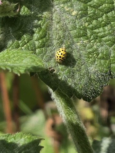
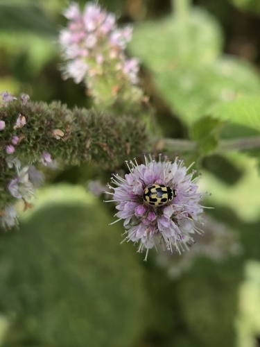
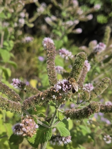
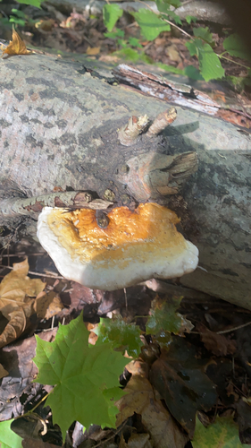
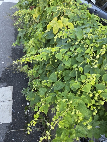
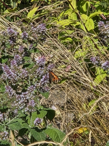
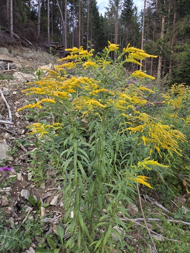
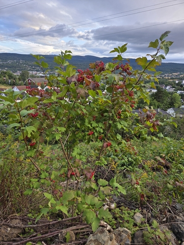
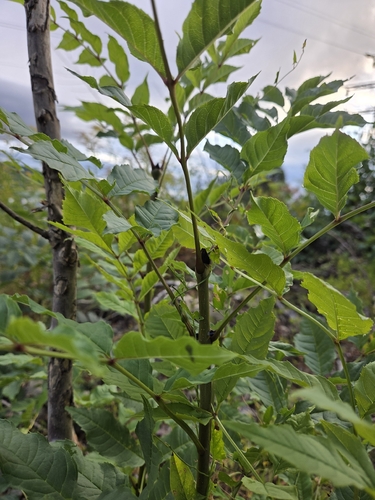
Research-grade observations from iNaturalist (within ~15 mi).
Events
Gallery
Sources
- • Wikipedia
- • Open-Meteo Air Quality (CAMS)
- • USGS Earthquake Catalog (global feed)
- • GBIF (Global Biodiversity Information Facility)
- • iNaturalist
- • Open-Meteo / sunrise-sunset.org
- • Wikipedia Pageviews API
- • Wikidata SPARQL (CC0) — population, area, elevation, inception, head of government, Commons image