Browse / Norway / Buskerud / Konnerud
Konnerud
Buskerudvillage

Featured view
Konnerud
Total population
10,403
Coordinates59.72°, 10.15°
Demographic figures from Statistics Norway (SSB). Overview below cites Wikipedia and may reference a different year.
Loading additional data from public sources…0 / 11
CensusWikipediaWeatherPlacesPeopleEnvironmentHealth & SchoolsRelatedGeography & CultureLive MonitoringEvents & Gallery
0% completeCity facts
Overview
Konnerud is a village located south of the city of Drammen in Buskerud, Norway. Konnerud has a population of 10 314 (2019)
History & geography
Geography
Latitude
59.7179
Longitude
10.1489
Water area
—
Coordinates & boundaries from the US Census TIGER/Line shapefiles.
Climate
Air quality
Walkability
Amenities nearby
Wildlife & biodiversity
Earthquake history
Photos
Sights & places nearby
Notable people from here

Peter Nicolai Arbo
Norwegian painter (1831–1892)

Peter Tidemand Malling
Norwegian bookseller, printer and publisher (1807–1878)

Henrik Greve Blessing
Norwegian physician (1866-1916)

Kai Fjell
Norwegian artist (1907-1989)

Søren Anton Wilhelm Sørenssen
Norwegian Minister of Justice

Thomas Cathinco Bang
Norwegian politician (1827-1902)
C
Carl Oscar Eugen Arbo
I
Ivar Johansen
Norwegian journalist (1923-2005)
T
Thorstein Treholt
Norwegian politician
R
Reidar Strømdahl
Norwegian politician (1913–2006)
A
Alf Roar Berg
former Major General in the Norwegian military

Christian Fredrik Arbo
Norwegian architect
H
Hans Peter Styren
featured in the Norwegian Who's Who 1973
N
Nils Weyer Arveschoug
Norwegian jurist (1807-1894)
P
Per Sveaas Andersen
Norwegian professor

Rune Temte
Norwegian actor
People born within ~10 km, from Wikidata (CC0). Click any name for their Wikipedia article.
Nearby places in Buskerud
- Drammen2.6 mi away · pop. 125,680
- Solbergelva4 mi away
- Mjøndalen5.3 mi away
- Krokstadelva5.7 mi away
- Steinberg7.1 mi away
- Tranby7.5 mi away · pop. 5,322
- Hokksund9.1 mi away · pop. 9,089
- Lierskogen9.5 mi away
- Vestfossen9.9 mi away · pop. 3,299
- Svelvik11.6 mi away · pop. 4,193
- Darbu12.3 mi away · pop. 677
- Skotselv12.7 mi away · pop. 768
Geography & sun
Avg solar (kWh/m²/day)
2.66
Annual solar (kWh/m²)
971
Elevation, sunrise/sunset and daylight from Open-Meteo. Solar climatology from NASA POWER.
Nearby airports
Public attention
Wikipedia views (last 30 days)
59
Avg daily Wikipedia views
2
Attention level
Obscure
Pageview totals from the Wikimedia Pageviews API.
Books about this place
Recent natural events nearby
Ground air-quality sensors
Recently spotted species
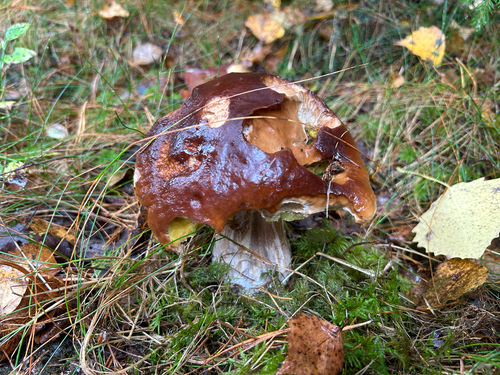
King Bolete
Boletus edulis
Seen 2026-10-03
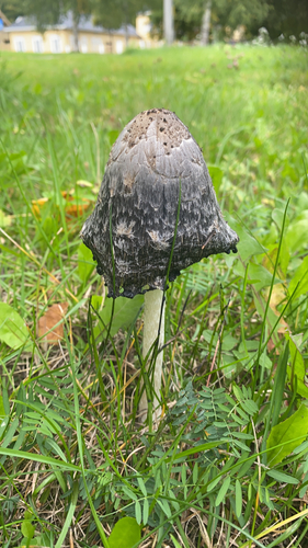
Shaggy Mane
Coprinus comatus
Seen 2026-09-27

22-spot Ladybird
Psyllobora vigintiduopunctata
Seen 2026-09-06
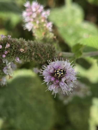
Fourteen-spotted Lady Beetle
Propylea quatuordecimpunctata
Seen 2026-09-06
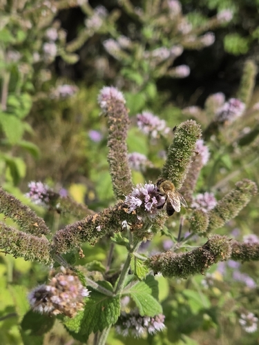
Western Honey Bee
Apis mellifera
Seen 2026-09-06
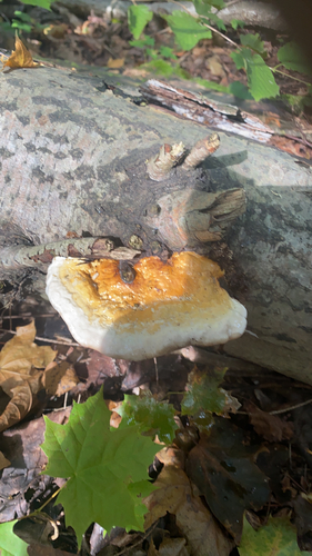
Red-banded Polypore
Fomitopsis pinicola
Seen 2026-09-06
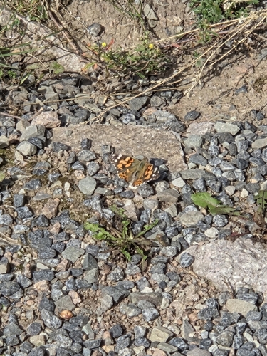
Painted Lady
Vanessa cardui
Seen 2026-09-06
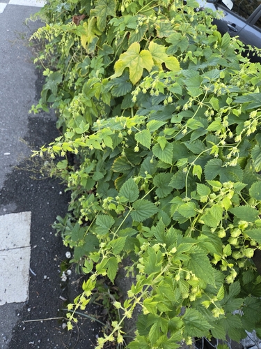
common hops
Humulus lupulus
Seen 2026-09-05
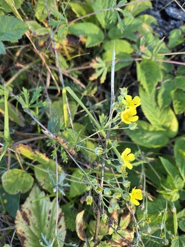
Silvery Cinquefoil
Potentilla argentea
Seen 2026-09-05
Research-grade observations from iNaturalist (within ~15 mi).
Events
Gallery
Sources
- • Wikipedia
- • Wikidata
- • iNaturalist
- • Open-Meteo / sunrise-sunset.org
- • Wikipedia Pageviews API
- • Wikidata SPARQL (CC0) — population, area, elevation, inception, head of government, Commons image