Browse / Norway / Buskerud / Svelvik
Svelvik
Buskerudtown

Svelvik
Total population
4,193
Demographic figures from Statistics Norway (SSB). Overview below cites Wikipedia and may reference a different year.
City facts
Facts from Wikidata (CC0).
Overview
is a town in Drammen Municipality in Buskerud county, Norway. The town is located along the west shore of the Drammensfjorden, about 20 kilometres (12 mi) to the southeast of the town of Drammen and about 8 kilometres (5.0 mi) north of the village of Berger. The village of Klokkarstua lies about 2 kilometres (1.2 mi) to the east, across the fjord.
Read more on WikipediaHistory & geography
History
The town of Svelvik was established as a ladested on 1 January 1845 when it was separated from Strømm Municipality. Initially, the new town had a population of 1,201. The town was historically located in Jarlsberg og Laurvig county (present-day Vestfold county). Under the formannskapsdistrikt law, Svelvik was granted self-governing status as a municipality since it was a town. During the 1960s, there were many municipal mergers across Norway due to the work of the Schei Committee. On 1 January 1964, the town of Svelvik (population: 1,188) was merged with Strømm Municipality (population: 2,618) to form the new Svelvik Municipality. On 1 January 2020, Svelvik Municipality (population: 6,685) was merged into the neighboring Drammen Municipality (which made it switch from Vestfold to Viken county), so from then on, the town of Svelvik has been part of Drammen Municipality. On 1 January 2024, Viken county was dissolved and this area became part of Buskerud county. The municipality (originally the parish) is named after the old Svelvik farm () since the first Svelvik Church was built there. The first element comes from the word which means "sword". The last element is which means "bay" or "cove". The name "sword bay" is likely referring to the Ryggen promontory ridge across from the town of Svelvik. The ridge juts out into the Drammensfjorden like a sword and divides the fjord into two halves. The neighboring farm is called Sverstad () which has the same etymology.
Geography
The town is located on the western shore of the Drammensfjorden. The narrow Svelvikstrømmen strait is located part-way along the fjord, near the town of Svelvik. The shortest ferry line in Norway crosses the fjord there, connecting Svelvik to the Hurum peninsula. The little town has small, winding streets and traditional, white-painted houses. Svelvik has many venues for swimming and sunbathing.
Excerpted from the corresponding Wikipedia article (CC BY-SA).
Geography
Coordinates & boundaries from the US Census TIGER/Line shapefiles.
Climate
Air quality
Walkability
Amenities nearby
Wildlife & biodiversity
Earthquake history
Photos
Sights & places nearby
Notable people from here


People born within ~10 km, from Wikidata (CC0). Click any name for their Wikipedia article.
Nearby places in Buskerud
- Berger4.8 mi away · pop. 1,103
- Skoger8.2 mi away
- Drammen11.5 mi away · pop. 125,680
- Konnerud11.6 mi away · pop. 10,403
- Lierbyen13.3 mi away · pop. 4,662
- Lierskogen14.5 mi away
- Tranby14.6 mi away · pop. 5,322
- Solbergelva15.5 mi away
- Hvittingfoss16.5 mi away · pop. 1,121
- Mjøndalen16.8 mi away
- Krokstadelva17.2 mi away
- Oddevall18.5 mi away · pop. 416
Geography & sun
Elevation, sunrise/sunset and daylight from Open-Meteo. Solar climatology from NASA POWER.
Nearby airports
Public attention
Pageview totals from the Wikimedia Pageviews API.
Books about this place
Recent natural events nearby
Ground air-quality sensors
Recently spotted species
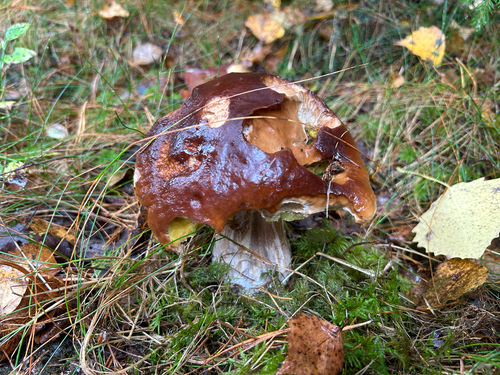
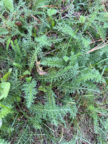
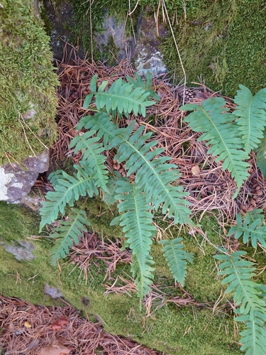
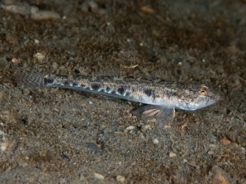
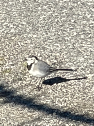
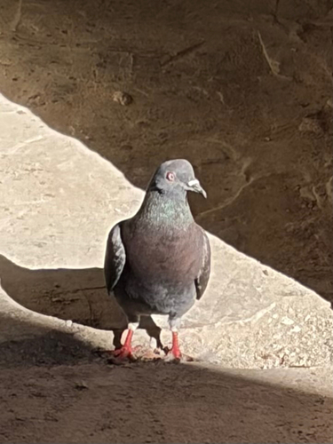
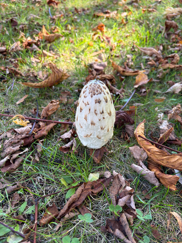
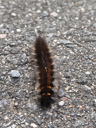
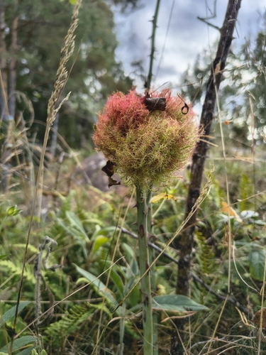
Research-grade observations from iNaturalist (within ~15 mi).
Events
Gallery
Official Identifiers
SSB — Statistics Norway
- Kommunenr
- 0711
- Population (Wikidata)
- 6,685
- Wikidata
- Q48701
Kommunenummer via Wikidata P2504
Sources
- • Wikipedia
- • Wikidata
- • iNaturalist
- • Open-Elevation
- • Open-Meteo / sunrise-sunset.org
- • Wikipedia Pageviews API
- • Wikidata SPARQL (CC0) — population, area, elevation, inception, head of government, Commons image
- • SSB — Statistics Norway — Kommunenummer via Wikidata P2504