Browse / Norway / Akershus / Råholt
Råholt
Akershustown

Råholt
Total population
16,005
Demographic figures from Statistics Norway (SSB). Overview below cites Wikipedia and may reference a different year.
City facts
Facts from Wikidata (CC0).
Overview
Råholt is a village in the municipality of Eidsvoll, Norway. It is located at an average elevation of 189 meters above the sea level. Its population (2022) is 14,830.
Read more on WikipediaHistory & geography
Geography
Coordinates & boundaries from the US Census TIGER/Line shapefiles.
Climate
Air quality
Walkability
Amenities nearby
Wildlife & biodiversity
Most-observed species
- Great TitParus major Linnaeus, 1758 · Aves2,105
- Eurasian Blue TitCyanistes caeruleus (Linnaeus, 1758) · Aves1,864
- Eurasian MagpiePica pica (Linnaeus, 1758) · Aves1,789
- Common GoldeneyeBucephala clangula (Linnaeus, 1758) · Aves1,562
- MallardAnas platyrhynchos Linnaeus, 1758 · Aves1,496
- YellowhammerEmberiza citrinella Linnaeus, 1758 · Aves1,468
- Western JackdawColoeus monedula (Linnaeus, 1758) · Aves1,447
- Hooded CrowCorvus cornix Linnaeus, 1758 · Aves1,414
Citizen-science & research observations from the Global Biodiversity Information Facility (GBIF).
Earthquake history
Most recent
- M 3.9 — 2026-04-261 km SSE of Sørumsand, Norway
- M 2.9 — 2008-05-254 km WSW of Åneby, Norway
- M 2.6 — 2004-12-2910 km WNW of Flateby, Norway
- M 3.4 — 2004-04-0711 km N of Sand, Norway
Events from the USGS Earthquake Catalog (global) (FDSN Event Web Service).
Photos
Sights & places nearby
Notable people from here


People born within ~10 km, from Wikidata (CC0). Click any name for their Wikipedia article.
Nearby places in Akershus
- Sørumsand20.7 mi away · pop. 6,075
- Sørumsand20.7 mi away
- Varåa24.3 mi away
- Nesoddtangen34.4 mi away · pop. 13,444
- Slemmestad41.8 mi away
- Gjellum42.2 mi away
- Dolní Jamné716.2 mi away · pop. 69
- Mladotice716.7 mi away · pop. 443
- Liblín722.3 mi away · pop. 301
- Drahoňův Újezd726 mi away · pop. 144
- Lhota pod Radčem729.3 mi away · pop. 267
- Sklená Huť729.4 mi away · pop. 11
Geography & sun
Elevation, sunrise/sunset and daylight from Open-Meteo. Solar climatology from NASA POWER.
Nearby airports
Public attention
Pageview totals from the Wikimedia Pageviews API.
Books about this place
Recent natural events nearby
Ground air-quality sensors
Recently spotted species

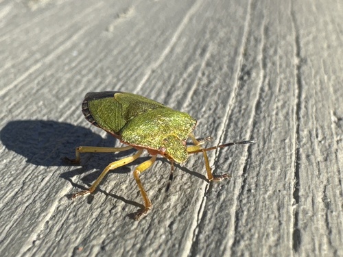

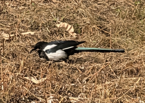

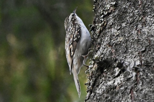
Research-grade observations from iNaturalist (within ~15 mi).
Events
Gallery
Sources
- • Wikipedia
- • Wikidata
- • USGS Earthquake Catalog (global feed)
- • GBIF (Global Biodiversity Information Facility)
- • iNaturalist
- • Open-Meteo / sunrise-sunset.org
- • Wikipedia Pageviews API
- • Wikidata SPARQL (CC0) — population, area, elevation, inception, head of government, Commons image