Browse / United States / Nevada / Fernley
Fernley
Nevadacity

Fernley
Total population
24,225
Median home value
$366,700
Bachelor's+
Median income
$89,517
Demographic figures from US Census Bureau · ACS 5-year estimates. Overview below cites Wikipedia and may reference a different year.
- Fire Weather Watch · SevereFire Weather Watch issued September 23 at 12:47PM PDT until September 25 at 10:00PM PDT by NWS Reno NV
Source: NOAA National Weather Service.
City facts
Overview
Fernley is a city in Lyon County, Nevada, United States, and part of the Reno–Tahoe–Sparks metropolitan area CSA. The city was incorporated in 2001. The population of the city was 22,895 at the 2020 census, making it the 7th most populous city in Nevada.
Read more on WikipediaHistory & geography
History
Fernley, established in 1904, developed as primarily an agricultural and ranching community in proximity to Reno. It is unknown why the name "Fernley" was applied to this community. It, along with the defunct settlement of Fernley, California are the only two known places in the world to have the name Fernley. Much of the farmland in the Fernley area was developed through the Newlands Irrigation Project, which was a result of the Newlands Reclamation Act of 1902. The project established an irrigation system that delivers water to an area stretching from Derby Dam, along the Truckee River, to the Lahontan Reservoir near Fallon, Nevada. Construction and expansion of the system took place from the inception through the 1960s. Many of the concrete irrigation headgates, still in use today, are embossed with the CCC (Civilian Conservation Corps) stamp and date of construction. In addition to the irrigation system in the Fernley area, a drainage system was also constructed to carry away excess water and mineral salts from the farmlands. This system consists of channels ( deep) dug adjacent to fields; it eventually terminates in the sink northeast of Fernley. The irrigation system is administered and maintained through the Truckee–Carson Irrigation District. The Southern Pacific Railroad completed the Fernley and Lassen Railway in 1914. The transcontinental Lincoln/Victory Highways was built through town in the 1920s. In 1965, the Nevada Cement Company started operation in a new plant built on the north side of the city between Fernley and Wadsworth. This was the first significant non-agricultural/ranching business to come to Fernley, aside from the railroad. Primary employment in Fernley began a steady transition to an industrial and commuter base. Beginning in the 1970s,…
Geography
Fernley is located at the intersection of Interstate 80, U.S. Route 50 Alternate and U.S. Route 95 Alternate (US 95A). Although it originally spanned the Lyon–Washoe county line, a county boundary change in 2005 left it entirely in Lyon County. | date=March 16, 2023}}
Excerpted from the corresponding Wikipedia article (CC BY-SA).
Demographics & economy
Race & ethnicity
Source: US Census Bureau — American Community Survey, 5-year estimates.
Geography
Coordinates & boundaries from the US Census TIGER/Line shapefiles.
Climate
Current forecast
Forecast for Fernley, NV from NOAA NWS API.
Air quality
Industrial & pollution facilities
Natural hazard risk
Health (adults)
Age-adjusted prevalence estimates from CDC PLACES (latest release).
Walkability
Amenities nearby
Wildlife & biodiversity
Schools
Largest nearby schools
- Fernley High SchoolHigh · Fernley · 1,308 students · 25.2:1 ratio
- Silverland Middle SchoolMiddle · Fernley · 643 students · 20.7:1 ratio
- Fernley Intermediate SchoolMiddle · Fernley · 640 students · 22.9:1 ratio
- Cottonwood Elementary SchoolElementary · Fernley · 579 students · 18.7:1 ratio
- East Valley Elementary SchoolElementary · Fernley · 563 students · 20.1:1 ratio
- Fernley Elementary SchoolElementary · Fernley · 428 students · 18.6:1 ratio
- Lyon County Adult EducationOther · Fernley · 32 students
Public K–12 schools within ~10 mi from Urban Institute Education Data Portal (NCES Common Core of Data, 2022).
Earthquake history
Photos
Sights & places nearby
Notable people from here
People born within ~10 km, from Wikidata (CC0). Click any name for their Wikipedia article.
Nearby places in Nevada
- Wadsworth7.1 mi away · pop. 705
- Silver Springs12.6 mi away
- Stagecoach17.2 mi away
- Nixon20.3 mi away · pop. 305
- Fallon22.8 mi away · pop. 9,463
- Spanish Springs26.3 mi away · pop. 17,980
- Fallon Station27.3 mi away · pop. 1,399
- Dayton27.8 mi away · pop. 15,781
- Sparks28 mi away · pop. 111,523
- Virginia City30.3 mi away · pop. 644
- Sun Valley31.5 mi away · pop. 22,228
- Silver City31.6 mi away · pop. 118
Geography & sun
Elevation, sunrise/sunset and daylight from Open-Meteo. Solar climatology from NASA POWER.
Nearby airports
Public attention
Pageview totals from the Wikimedia Pageviews API.
Books about Fernley
Search results from Open Library.
Recent natural events nearby
- Wildfire Stallion, Washoe, NevadaWildfires · 2026-08-10 · 25 mi
- Wildfire Fred Mt, Washoe, NevadaWildfires · 2026-08-09 · 38 mi
- Wildfire Hawk, Washoe, NevadaWildfires · 2026-08-22 · 41 mi
- Wildfire Hawk, Washoe, NevadaWildfires · 2026-08-22 · 41 mi
- Wildfire FLORISTON, Nevada, CaliforniaWildfires · 2026-09-16 · 46 mi
- Wildfire Bug, Lassen, CaliforniaWildfires · 2026-08-08 · 47 mi
- Wildfire Blue Eagle, Churchill, NevadaWildfires · 2026-08-25 · 81 mi
- Wildfire Shoshone, Churchill, NevadaWildfires · 2026-08-15 · 83 mi
Wildfires, storms and other events from NASA EONET (last 12 months, within 250 mi).
Ground air-quality sensors
Recently spotted species
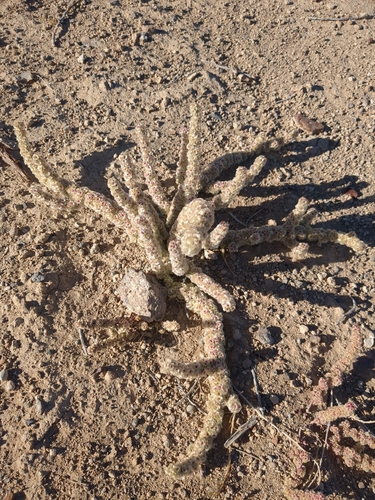
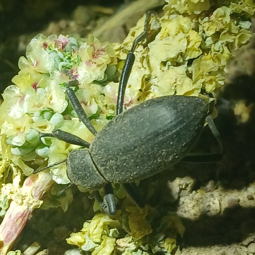
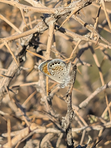
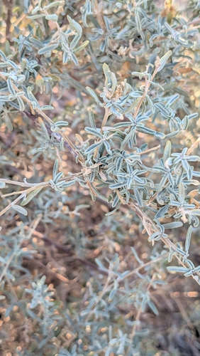
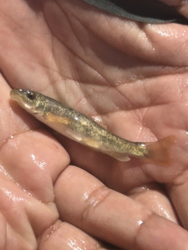
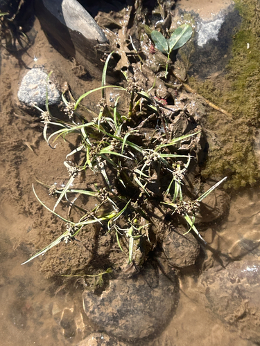
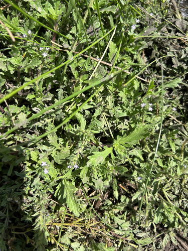
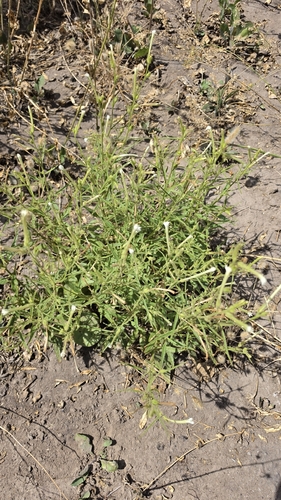
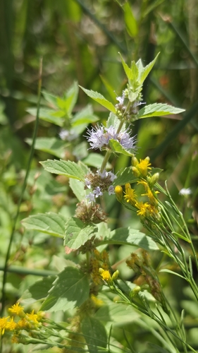
Research-grade observations from iNaturalist (within ~15 mi).
Nearest stream gauge
Events
Gallery
Sources
- • Wikipedia
- • US Census Bureau (ACS 5-year estimates)
- • NOAA National Weather Service
- • Wikidata
- • NCES via Urban Institute Education Data Portal
- • iNaturalist
- • CDC PLACES
- • Open-Meteo / sunrise-sunset.org
- • Wikipedia Pageviews API
- • Open Library
- • NASA EONET