Browse / United States / Nevada / Genoa
Genoa
NevadaCDP

Genoa
Total population
1,284
Median home value
$1,003,200
Bachelor's+
Median income
$121,981
Demographic figures from US Census Bureau · ACS 5-year estimates. Overview below cites Wikipedia and may reference a different year.
- Fire Weather Watch · SevereFire Weather Watch issued September 23 at 12:47PM PDT until September 25 at 10:00PM PDT by NWS Reno NV
Source: NOAA National Weather Service.
City facts
Overview
Genoa is an unincorporated town in Douglas County, Nevada, United States. Founded in 1851, it was the first settlement in what became the Nevada Territory (1861–1864). It is situated within Carson River Valley and is approximately 42 miles (68 km) south of Reno and seven miles north of Minden, Nevada. The population was 939 at the 2010 census. The town is home to the state's oldest bar, which opened in 1853.
Read more on WikipediaHistory & geography
History
Genoa was first settled by Mormon pioneers in what was then the Mexican territory of Alta California. The settlement originated as a trading post called Mormon Station, which served as a respite for travelers on the Carson Route of the California Trail. In June 1850, following the 1849 Mexican Cession of territories in what is now Southwestern United States, after the Mexican-American War (1846–1848) H.S. Beatie and fellow Mormons built a roofless log enclosure and corral as a trading post near a small stream. Migrants could obtain clothing, tobacco, meat, canned goods, coffee, beans, sugar, flour, and bacon. The post was abandoned later that year. By 1851, John Reese arrived in the area with horses, cattle, and a dozen wagons loaded with supplies to establish a permanent trading post. By another year later in 1852, migrant traffic through the area was heavy and the settlement expanded. A post office opened, a blacksmith shop was built, and sawmills were built. In 1856, Orson Hyde changed the name of the community to Genoa, after the historic major Italian city. The original Mormon settlers withdrew in 1857, when they were recalled by the Mormon patriarch and head of The Church of Jesus Christ of Latter-day Saints and first territorial Governor of the Utah Territory (1850–1896), Brigham Young (1801–1877), in the territorial capital of Salt Lake City because of the Utah War (1857–1858). The village of Genoa served temporarily as the first capital city of the new federal Nevada Territory when it was organized on authority of the United States Congress and President of the United States in 1861, until it was moved later that year to Carson City. Nevada Territory's first newspaper, the Territorial Enterprise, was founded first in Genoa in 1858 but moved to the boom town…
Geography
Genoa is located on the western edge of the Carson Valley, northwest of Minden, the Douglas County seat. Nevada State Route 206 enters Genoa from the south as Foothill Road, then turns east in the center of town onto Genoa Lane. According to the United States Census Bureau, the census-designated place of Genoa has a total area of , all land.
Excerpted from the corresponding Wikipedia article (CC BY-SA).
Demographics & economy
Race & ethnicity
Source: US Census Bureau — American Community Survey, 5-year estimates.
Geography
Coordinates & boundaries from the US Census TIGER/Line shapefiles.
Climate
Current forecast
Forecast for Genoa, NV from NOAA NWS API.
Air quality
Industrial & pollution facilities
Natural hazard risk
Health (adults)
Age-adjusted prevalence estimates from CDC PLACES (latest release).
Walkability
Amenities nearby
Wildlife & biodiversity
Schools
Largest nearby schools
- Douglas High SchoolHigh · Minden · 1,643 students · 20.3:1 ratio
- Carson Valley Middle SchoolMiddle · Gardnerville · 593 students · 22:1 ratio
- Minden Elementary SchoolElementary · Minden · 380 students · 22.4:1 ratio
- Gardnerville Elementary SchoolElementary · Gardnerville · 374 students · 17:1 ratio
- Jacks Valley Elementary SchoolElementary · Carson City · 356 students · 16.2:1 ratio
- Pinon Hills Elementary SchoolElementary · Minden · 280 students · 14.7:1 ratio
- George Whittell High SchoolHigh · Zephyr Cove · 152 students · 13.8:1 ratio
- Zephyr Cove Elementary SchoolElementary · Zephyr Cove · 149 students · 16.6:1 ratio
Public K–12 schools within ~10 mi from Urban Institute Education Data Portal (NCES Common Core of Data, 2022).
Earthquake history
Photos
Sights & places nearby
Notable people from here


People born within ~10 km, from Wikidata (CC0). Click any name for their Wikipedia article.
Nearby places in Nevada
- Kingsbury3.7 mi away · pop. 2,209
- Skyland4.7 mi away · pop. 313
- Indian Hills4.9 mi away · pop. 5,527
- Zephyr Cove5 mi away · pop. 562
- Round Hill Village5.1 mi away · pop. 823
- Minden5.5 mi away · pop. 3,707
- Logan Creek5.7 mi away · pop. 61
- Lakeridge6.1 mi away · pop. 204
- Johnson Lane6.5 mi away · pop. 6,467
- Stateline7.3 mi away · pop. 503
- Glenbrook7.3 mi away · pop. 378
- Gardnerville7.8 mi away · pop. 5,486
Geography & sun
Elevation, sunrise/sunset and daylight from Open-Meteo. Solar climatology from NASA POWER.
Nearby airports
Public attention
Pageview totals from the Wikimedia Pageviews API.
Books about Genoa

Search results from Open Library.
Recent natural events nearby
- Wildfire FLORISTON, Nevada, CaliforniaWildfires · 2026-09-16 · 28 mi
- Wildfire Hawk, Washoe, NevadaWildfires · 2026-08-22 · 36 mi
- Wildfire Hawk, Washoe, NevadaWildfires · 2026-08-22 · 36 mi
- Wildfire Bug, Lassen, CaliforniaWildfires · 2026-08-08 · 50 mi
- Wildfire Fred Mt, Washoe, NevadaWildfires · 2026-08-09 · 51 mi
- Wildfire Stallion, Washoe, NevadaWildfires · 2026-08-10 · 57 mi
- Wildfire GANN, Calaveras, CaliforniaWildfires · 2026-08-03 · 81 mi
- Wildfire DOME, Mariposa, CaliforniaWildfires · 2026-09-15 · 102 mi
Wildfires, storms and other events from NASA EONET (last 12 months, within 250 mi).
Ground air-quality sensors
Recently spotted species
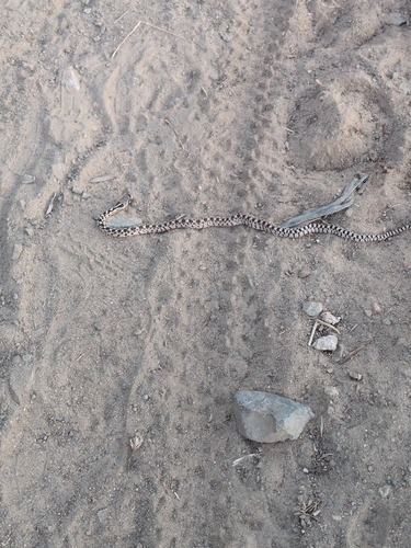
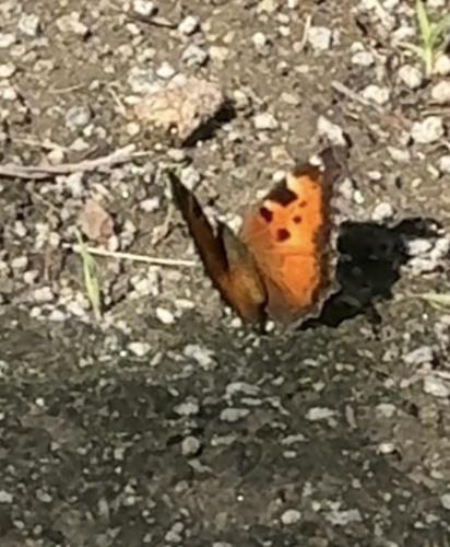
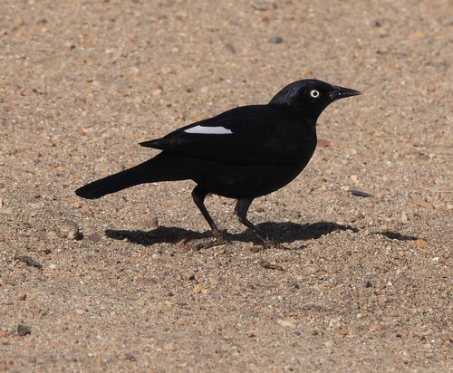
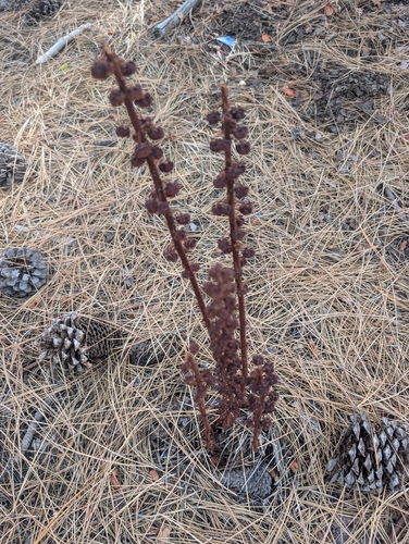
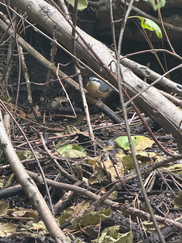
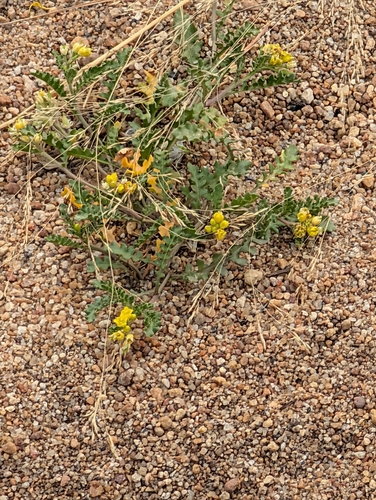

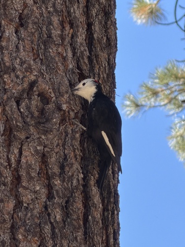
Research-grade observations from iNaturalist (within ~15 mi).
Nearest stream gauge
Events
Gallery
Sources
- • Wikipedia
- • US Census Bureau (ACS 5-year estimates)
- • NOAA National Weather Service
- • Wikidata
- • NCES via Urban Institute Education Data Portal
- • iNaturalist
- • CDC PLACES
- • Open-Meteo / sunrise-sunset.org
- • Wikipedia Pageviews API
- • Open Library
- • NASA EONET