Browse / United States / Nevada / Stateline
Stateline
NevadaCDP

Stateline
Total population
503
Median home value
$0
Bachelor's+
Median income
$47,054
Demographic figures from US Census Bureau · ACS 5-year estimates. Overview below cites Wikipedia and may reference a different year.
- Lake Wind Advisory · ModerateLake Wind Advisory issued October 14 at 11:22PM PDT until October 16 at 2:00AM PDT by NWS Reno NV
Source: NOAA National Weather Service.
City facts
Facts from Wikidata (CC0).
Overview
Stateline is a census-designated place (CDP) on the southeastern shore of Lake Tahoe in Douglas County, Nevada, United States. It lies next to the border with California and is conurbated with South Lake Tahoe. The population was 595 at the 2020 census. The population swells considerably during the busy winter and summer seasons, due to the high number of hotel rooms and rental accommodations available.
Read more on WikipediaHistory & geography
History
Most of the town and surrounding land has been maintained by the heirs of the historic Friday's Station of the Pony Express; it is leased to the casinos. The duplex naming of the community originated in part because of an interstate border dispute, resulting from differences in several boundary surveys. The erroneous 1872 Von Schmidt survey of the California–Nevada boundary found the stateline crossing U.S. 50 on the west edge of present-day Applebee's, and the east edge of the Ashley Marcus Gallery in Tahoe Crescent V Shopping Center in California. The community of Stateline, California, contended to be in Nevada, emerged just east to benefit from Nevada law—including tax-free status and later gambling which was legalized in 1931. However, an 1893 United States Coast and Geodetic Survey (C.G.S.) placed the border several thousand feet east of 1872 Von Schmidt line, creating a discrepancy which left the community in legal jeopardy. The Stateline Country Club operated in the 1930s. By the mid-1950s to mid-1960s, gambling development moved east across the 1893 C.G.S. line to a new adjacent community of Edgewood, Nevada. After a 1980 US Supreme Court ruling, The currently accepted interstate border is marked by the 1893 US CGS Federal Survey Monuments No. 1,
Geography
Stateline is located at (38.970512, −119.945714). It lies on the southern shore of Lake Tahoe to the east of the California–Nevada state line from which it takes its name, and the city of South Lake Tahoe, California. According to the United States Census Bureau, the CDP has a total area of , of which is land and (12.82%) is water.
Excerpted from the corresponding Wikipedia article (CC BY-SA).
Demographics & economy
Race & ethnicity
Source: US Census Bureau — American Community Survey, 5-year estimates.
Geography
Coordinates & boundaries from the US Census TIGER/Line shapefiles.
Climate
Current forecast
Forecast for Stateline, NV from NOAA NWS API.
Air quality
Industrial & pollution facilities
Natural hazard risk
Health (adults)
Age-adjusted prevalence estimates from CDC PLACES (latest release).
Walkability
Amenities nearby
Wildlife & biodiversity
Schools
Largest nearby schools
- Douglas High SchoolHigh · Minden · 1,643 students · 20.3:1 ratio
- George Whittell High SchoolHigh · Zephyr Cove · 152 students · 13.8:1 ratio
- Zephyr Cove Elementary SchoolElementary · Zephyr Cove · 149 students · 16.6:1 ratio
Public K–12 schools within ~10 mi from Urban Institute Education Data Portal (NCES Common Core of Data, 2022).
Earthquake history
Photos
Sights & places nearby
Notable people from here


People born within ~10 km, from Wikidata (CC0). Click any name for their Wikipedia article.
Nearby places in Nevada
- Round Hill Village2.4 mi away · pop. 823
- Zephyr Cove3.3 mi away
- Kingsbury3.6 mi away · pop. 2,209
- Skyland4.3 mi away
- Lakeridge4.8 mi away · pop. 204
- Logan Creek6.7 mi away
- Genoa7.3 mi away · pop. 1,284
- Glenbrook9.1 mi away · pop. 378
- Minden9.6 mi away · pop. 3,707
- Gardnerville11.3 mi away · pop. 5,486
- Gardnerville Ranchos11.6 mi away
- Indian Hills11.6 mi away · pop. 5,527
Geography & sun
Elevation, sunrise/sunset and daylight from Open-Meteo. Solar climatology from NASA POWER.
Nearby airports
Public attention
Pageview totals from the Wikimedia Pageviews API.
Books about Stateline
Search results from Open Library.
Recent natural events nearby
- Wildfire FLORISTON, Nevada, CaliforniaWildfires · 2026-09-16 · 30 mi
- Wildfire Hawk, Washoe, NevadaWildfires · 2026-08-22 · 40 mi
- Wildfire Hawk, Washoe, NevadaWildfires · 2026-08-22 · 40 mi
- Wildfire Bug, Lassen, CaliforniaWildfires · 2026-08-08 · 53 mi
- Wildfire Fred Mt, Washoe, NevadaWildfires · 2026-08-09 · 55 mi
- Wildfire Stallion, Washoe, NevadaWildfires · 2026-08-10 · 63 mi
- Wildfire GANN, Calaveras, CaliforniaWildfires · 2026-08-03 · 74 mi
- Wildfire DOME, Mariposa, CaliforniaWildfires · 2026-09-15 · 99 mi
Wildfires, storms and other events from NASA EONET (last 12 months, within 250 mi).
Ground air-quality sensors
Recently spotted species
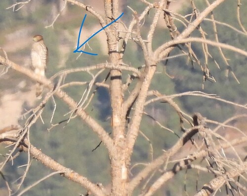
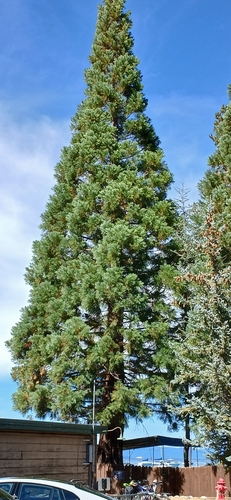
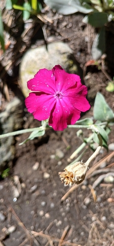
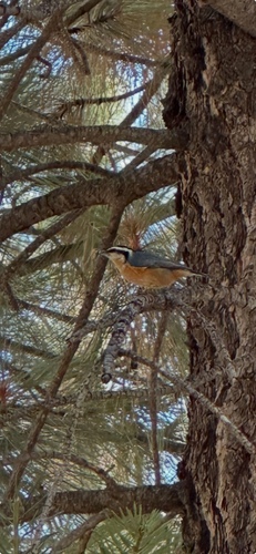
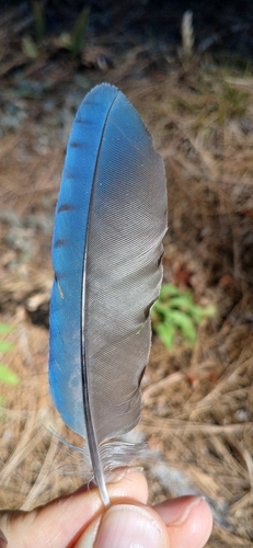
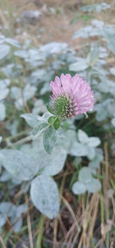
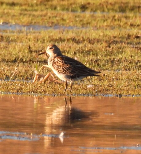
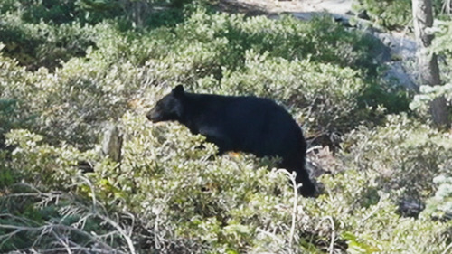
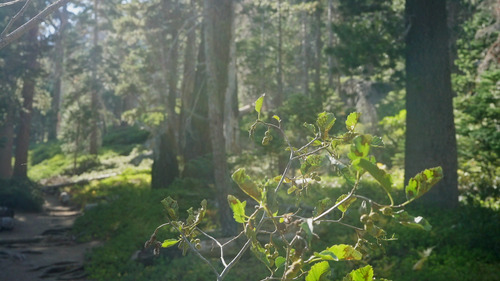
Research-grade observations from iNaturalist (within ~15 mi).
Nearest stream gauge
Events
Gallery
Sources
- • Wikipedia
- • US Census Bureau (ACS 5-year estimates)
- • NOAA National Weather Service
- • Wikidata
- • NCES via Urban Institute Education Data Portal
- • iNaturalist
- • CDC PLACES
- • Open-Elevation
- • Open-Meteo / sunrise-sunset.org
- • Wikipedia Pageviews API
- • Open Library
- • NASA EONET