Browse / United States / Nevada / Laughlin
Laughlin
NevadaCDP

Laughlin
Total population
8,789
Median home value
$283,700
Bachelor's+
Median income
$45,685
Founded
1964
Demographic figures from US Census Bureau · ACS 5-year estimates. Overview below cites Wikipedia and may reference a different year.
City facts
Facts from Wikidata (CC0).
Overview
Laughlin is an unincorporated community in Clark County, Nevada, United States. Laughlin lies 90 miles (140 km) south of Las Vegas, in the far southern tip of Nevada. As a resort town, it is known for its gaming and water recreation. As of the 2020 census, the population was 8,658. For statistical purposes, the United States Census Bureau has defined Laughlin as a census-designated place (CDP). It is located on the Colorado River, downstream from the Davis Dam and Lake Mohave, and directly across from the much larger Bullhead City, Arizona. The nearby communities of Bullhead City, Arizona; Needles, California; Fort Mohave, Arizona; and Mohave Valley, Arizona, bring the area's total population to about 100,000. Laughlin is also 286 miles (460 km) northeast of Los Angeles.
Read more on WikipediaHistory & geography
History
The townsite of Laughlin was established in the 1940s as South Pointe because of the proximity to the southern tip of the state of Nevada. The early town consisted of a motel and bar that catered to gold and silver miners, construction workers building Davis Dam, and fishing enthusiasts. In the 1950s, construction workers left, and the town functionally disappeared. In 1964, Don Laughlin, owner of the 101 Club in Las Vegas, flew over the site and saw its tourism potential. He offered to buy the land, and within a few years, the Riverside Resort motel and casino, consisting of only 12 slots and two live tables, began operating. A second casino, the Bobcat Club, opened in 1967, where the Golden Nugget Laughlin currently operates. In 1968, a third casino, the Monte Carlo, opened its doors. The neighboring Bullhead City, Arizona was a key part in Laughlin's growth, with shuttle boats transporting customers from the Arizona side of the river to Laughlin's resorts and back. The southernmost tip of Nevada, along the Colorado River, where Nevada, California, and Arizona meet, was a major national tourist destination and gambling resort during the 70s, 80s & 90s. In the 1980s, Laughlin was developed with the construction of several more hotels and casinos. The Colorado Hotel (now the Pioneer), The Regency, Sam's Town Gold River (now the Laughlin River Lodge), and The Edgewater opened in the early 1980s. Other investors saw the growth as an opportunity to get in on the action. A second boom resulted in the construction of The Colorado Belle, Harrah's Del Rio, and The Ramada Express (now The Tropicana Laughlin). In 1987, Don Laughlin funded and built the Laughlin Bridge at a cost of $3.5 million, which connected Laughlin to Bullhead City. He donated the bridge to the states of…
Geography
According to the United States Census Bureau, the census-designated place (CDP) of Laughlin (which may not coincide exactly with the town boundaries) has a total area of , of which is land and is water. Laughlin is one of the lowest-lying communities in Nevada, situated just above sea level. Laughlin has a hot desert climate (Köppen climate classification BWh), with under six inches of precipitation per year. Summers are extremely hot with days frequently exceeding in July and August while over-night lows tend to stay between . The winters are mild with days typically seeing temperatures between and corresponding over-night lows between . It is one of the United States' hottest cities during the summer. Heat waves with high temperatures over are unusual, but not unheard of. On June 29, 1994, Laughlin experienced the hottest temperature in Nevada state history at . At 10a the hardiness zone is the highest of any weather station in Nevada. [https://planthardiness.ars.usda.gov/]
Excerpted from the corresponding Wikipedia article (CC BY-SA).
Demographics & economy
Race & ethnicity
Source: US Census Bureau — American Community Survey, 5-year estimates.
Geography
Coordinates & boundaries from the US Census TIGER/Line shapefiles.
Climate
Current forecast
Forecast for Laughlin, NV from NOAA NWS API.
Air quality
Industrial & pollution facilities
Natural hazard risk
Health (adults)
Age-adjusted prevalence estimates from CDC PLACES (latest release).
Walkability
Amenities nearby
Wildlife & biodiversity
Most-observed species
- Great-tailed GrackleQuiscalus mexicanus (Gmelin, 1788) · Aves794
- MallardAnas platyrhynchos Linnaeus, 1758 · Aves604
- American CootFulica americana Gmelin, 1789 · Aves578
- Rock PigeonColumba livia J.F.Gmelin, 1789 · Aves498
- Abert's TowheeMelozone aberti (S.F.Baird, 1852) · Aves492
- Gambel's QuailCallipepla gambelii (Gambel, 1843) · Aves479
- Common RavenCorvus corax Linnaeus, 1758 · Aves430
- Turkey VultureCathartes aura (Linnaeus, 1758) · Aves416
Citizen-science & research observations from the Global Biodiversity Information Facility (GBIF).
Schools
Earthquake history
Most recent
- M 2.64 — 2025-10-0720 km SW of Primm, NV
- M 2.6 — 2024-03-0714 km ENE of Boulder City, Nevada
- M 2.7 — 2022-12-092 km NW of Valentine, Arizona
- M 2.52 — 2019-04-2321km SW of Primm, NV
- M 2.5 — 2016-02-298km NNE of Cadiz, CA
- M 2.9 — 2015-03-0219 km E of Yucca, Arizona
Events from the USGS Earthquake Catalog (global) (FDSN Event Web Service).
Photos
Sights & places nearby
Notable people from here

People born within ~10 km, from Wikidata (CC0). Click any name for their Wikipedia article.
Nearby places in Nevada
- Cal-Nev-Ari18.4 mi away · pop. 275
- Searchlight27.7 mi away
- Nelson41.7 mi away · pop. 32
- Boulder City51.4 mi away · pop. 14,919
- Henderson64.3 mi away · pop. 350,020
- Goodsprings66.4 mi away · pop. 311
- Enterprise69.2 mi away · pop. 250,461
- Whitney70.5 mi away · pop. 47,221
- Paradise71.6 mi away
- Winchester74.8 mi away · pop. 37,081
- Sandy Valley74.9 mi away
- Spring Valley75.3 mi away · pop. 221,300
Geography & sun
Elevation, sunrise/sunset and daylight from Open-Meteo. Solar climatology from NASA POWER.
Nearby airports
Public attention
Pageview totals from the Wikimedia Pageviews API.
Books about Laughlin



Search results from Open Library.
Recent natural events nearby
- Wildfire Campwood, Yavapai, ArizonaWildfires · 2026-08-23 · 93 mi
- Prescribed Fire D2 Vincent RX, Coconino, ArizonaWildfires · 2026-09-17 · 213 mi
- Prescribed Fire D2 Dye RX, Coconino, ArizonaWildfires · 2026-09-17 · 216 mi
- Wildfire FISH, Kern, CaliforniaWildfires · 2026-07-27 · 228 mi
- Wildfire RIDGE, Los Angeles, CaliforniaWildfires · 2026-08-07 · 240 mi
- Wildfire BUZZARD, Kern, CaliforniaWildfires · 2026-08-05 · 244 mi
Wildfires, storms and other events from NASA EONET (last 12 months, within 250 mi).
Ground air-quality sensors
Recently spotted species
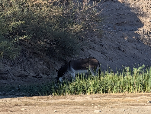
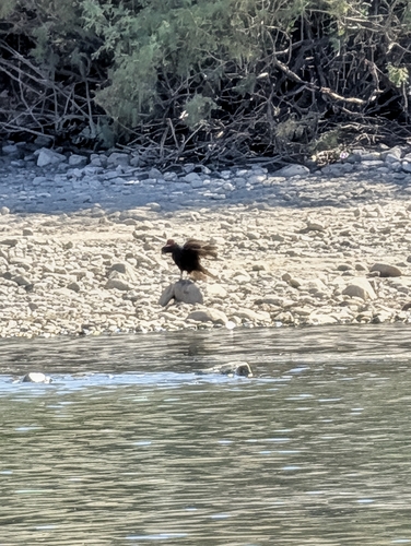
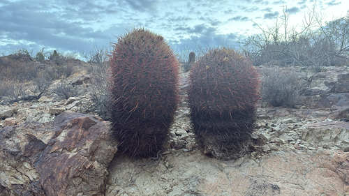
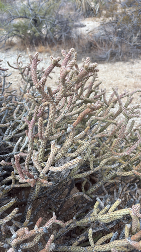
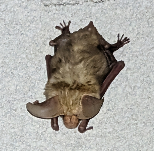
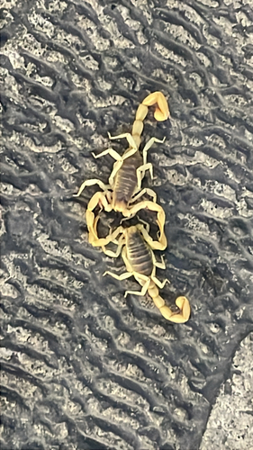
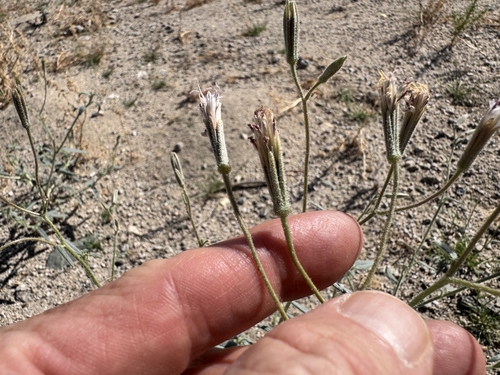
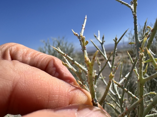
Research-grade observations from iNaturalist (within ~15 mi).
Nearest stream gauge
Events
Gallery
Sources
- • Wikipedia
- • US Census Bureau (ACS 5-year estimates)
- • NOAA National Weather Service
- • Wikidata
- • USGS Earthquake Catalog (global feed)
- • GBIF (Global Biodiversity Information Facility)
- • iNaturalist
- • CDC PLACES
- • Open-Meteo / sunrise-sunset.org
- • Wikipedia Pageviews API
- • Open Library
- • NASA EONET