Browse / United States / Nevada / Reno
Reno
Nevadacity

Reno
Total population
281,684
Median home value
$567,700
Bachelor's+
Median income
$85,605
Founded
1868
Demographic figures from US Census Bureau · ACS 5-year estimates. Overview below cites Wikipedia and may reference a different year.
City facts
Facts from Wikidata (CC0).
Overview
Reno is a city in the northwest section of the U.S. state of Nevada, along the Nevada–California border. It is the county seat and most populous city of Washoe County. Sitting in the High Eastern Sierra foothills, in the Truckee River valley, on the eastern side of the Sierra Nevada, it is about 23 miles (37 km) northeast of Lake Tahoe. Reno is the 78th most populous city in the United States, the third most populous city in Nevada, and the most populous in Nevada outside the Las Vegas Valley. It is known as "The Biggest Little City in the World" and had a population of 264,165 at the 2020 census.
Read more on WikipediaHistory & geography
History
Archaeological finds place the eastern border of the prehistoric Martis people in the Reno area. As early as the mid-1850s, a few pioneers settled in the Truckee Meadows, a relatively fertile valley through which the Truckee River made its way from Lake Tahoe to Pyramid Lake. In addition to subsistence farming, these early residents could pick up business from travelers along the California Trail, which followed the Truckee westward, before branching off toward Donner Lake, where the formidable obstacle of the Sierra Nevada began. Gold was discovered in the vicinity of Virginia City in 1850, and a modest mining community developed, but the discovery of silver in 1859 at the Comstock Lode led to a mining rush, and thousands of emigrants left their homes, bound for the West, hoping to find a fortune. To provide the necessary connection between Virginia City and the California Trail, Charles W. Fuller built a log toll bridge across the Truckee River in 1859. A small community that served travelers soon grew near the bridge. After two years, Fuller sold the bridge to Myron C. Lake, who continued to develop the community by adding a grist mill, kiln, and livery stable to the hotel and eating house. He renamed it "Lake's Crossing". Most of what is present-day western Nevada was formed as the Nevada Territory from part of Utah Territory in 1861. By January 1863, the Central Pacific Railroad (CPRR) had begun laying tracks east from Sacramento, California, eventually connecting with the Union Pacific Railroad at Promontory, Utah, to form the First transcontinental railroad. Lake deeded land to the CPRR in exchange for its promise to build a depot at Lake's Crossing. In 1864, Washoe County was consolidated with Roop County, and Lake's Crossing became the county's largest…
Geography
Reno is just east of the Sierra Nevada, on the western edge of the Great Basin at an elevation of about above sea level. Numerous faults exist throughout the region. Most of these are normal (vertical motion) faults associated with the extension of the earth's lithosphere and the uplift of the various mountain ranges, including the Sierra Nevada. In February 2008, an earthquake swarm began to occur, lasting for several months. The largest event in the swarm was measured at magnitude 4.9 by the USGS; some seismic analyses suggested it may have approached magnitude 5.0. The earthquakes were centered on the Somersett community in western Reno near Mogul and Verdi. Many homes in these areas were damaged. Nevada's high desert geology and vast federal lands attract amateur rockhounders and mineral collectors, who commonly find agate, opal, jasper, petrified wood, and fluorescent minerals. The Reno area is often subject to wildfires that cause property damage and sometimes loss of life. Roughly 80% of homes in the area have a risk of being impacted by wildfire. In August 1960, the Donner Ridge fire resulted in a loss of electricity to the city for four days. In November 2011, arcing from powerlines caused a fire in Caughlin in southwest Reno that destroyed 26 homes and killed one man. Just two months later, a fire in Washoe Drive sparked by fireplace ashes destroyed 29 homes and killed one woman. Around 10,000 residents were evacuated, and a state of emergency was declared. The fires came at the end of Reno's longest recorded dry spell. In September 2024, the Davis Fire burned heavily forested regions in Southwest Reno. Fourteen structures burned in the area, and twenty thousand people were evacuated. Reno has a cold semi-arid climate (Köppen: BSk), bordering a…
Excerpted from the corresponding Wikipedia article (CC BY-SA).
Demographics & economy
Race & ethnicity
Source: US Census Bureau — American Community Survey, 5-year estimates.
Geography
Coordinates & boundaries from the US Census TIGER/Line shapefiles.
Climate
Current forecast
Forecast for Reno, NV from NOAA NWS API.
Air quality
Industrial & pollution facilities
Natural hazard risk
Health (adults)
Age-adjusted prevalence estimates from CDC PLACES (latest release).
Walkability
Amenities nearby
Wildlife & biodiversity
Most-observed species
- MallardAnas platyrhynchos Linnaeus, 1758 · Aves15,900
- Canada Goose (canadensis Group)Branta canadensis (Linnaeus, 1758) · Aves14,740
- Mourning DoveZenaida macroura (Linnaeus, 1758) · Aves13,405
- California/Woodhouse's Scrub-JayAphelocoma californica (Vigors, 1839) · Aves13,174
- House FinchHaemorhous mexicanus (P.L.Statius Müller, 1776) · Aves12,949
- Lesser GoldfinchSpinus psaltria (Say, 1822) · Aves12,497
- American RobinTurdus migratorius Linnaeus, 1766 · Aves11,548
- American CootFulica americana Gmelin, 1789 · Aves10,852
Citizen-science & research observations from the Global Biodiversity Information Facility (GBIF).
Schools
Largest nearby schools
- NORTH VALLEYS HIGH SCHOOLHigh · RENO · 2,432 students · 24.6:1 ratio
- PROCTER R. HUG HIGH SCHOOLHigh · Sparks · 2,331 students · 25.9:1 ratio
- EDWARD C. REED HIGH SCHOOLHigh · SPARKS · 2,144 students · 25.2:1 ratio
- SPANISH SPRINGS HIGH SCHOOLHigh · SPARKS · 2,057 students · 23.9:1 ratio
- RENO HIGH SCHOOLHigh · RENO · 1,796 students · 24.9:1 ratio
- ROBERT MCQUEEN HIGH SCHOOLHigh · RENO · 1,643 students · 24.9:1 ratio
- EARL WOOSTER HIGH SCHOOLHigh · RENO · 1,509 students · 21:1 ratio
- SPARKS HIGH SCHOOLHigh · SPARKS · 1,311 students · 22.2:1 ratio
Public K–12 schools within ~10 mi from Urban Institute Education Data Portal (NCES Common Core of Data, 2022).
Earthquake history
Most recent
- M 2.75 — 2026-10-1520 km ESE of Silver Springs, Nevada
- M 2.8 — 2026-10-0522 km NNE of Yerington, Nevada
- M 2.87 — 2026-10-039 km WSW of South Lake Tahoe, CA
- M 3.27 — 2026-10-029 km WSW of South Lake Tahoe, CA
- M 2.53 — 2026-09-3020 km E of Markleeville, CA
- M 2.77 — 2026-09-231 km WNW of Sun Valley, Nevada
Events from the USGS Earthquake Catalog (global) (FDSN Event Web Service).
Photos
Sights & places nearby
Notable people from here


People born within ~10 km, from Wikidata (CC0). Click any name for their Wikipedia article.
Nearby places in Nevada
- Mogul4.5 mi away · pop. 1,050
- Golden Valley5 mi away · pop. 1,139
- Sun Valley5.7 mi away · pop. 22,228
- Sparks7.4 mi away · pop. 111,523
- Verdi7.4 mi away · pop. 1,012
- Lemmon Valley9.6 mi away · pop. 4,412
- Cold Springs12 mi away · pop. 11,321
- Spanish Springs12.1 mi away · pop. 17,980
- Washoe Valley18.2 mi away · pop. 3,315
- Virginia City19.9 mi away · pop. 644
- Incline Village20.2 mi away · pop. 9,272
- Silver City22.8 mi away · pop. 118
Geography & sun
Elevation, sunrise/sunset and daylight from Open-Meteo. Solar climatology from NASA POWER.
Nearby airports
Public attention
Pageview totals from the Wikimedia Pageviews API.
Books about Reno


Search results from Open Library.
Recent natural events nearby
- Wildfire Hawk, Washoe, NevadaWildfires · 2026-08-22 · 5 mi
- Wildfire Hawk, Washoe, NevadaWildfires · 2026-08-22 · 5 mi
- Wildfire Bull, Washoe, NevadaWildfires · 2026-10-02 · 7 mi
- Wildfire FLORISTON, Nevada, CaliforniaWildfires · 2026-09-16 · 14 mi
- Wildfire Fred Mt, Washoe, NevadaWildfires · 2026-08-09 · 15 mi
- Wildfire Bug, Lassen, CaliforniaWildfires · 2026-08-08 · 16 mi
- Wildfire Stallion, Washoe, NevadaWildfires · 2026-08-10 · 26 mi
- Wildfire GANN, Calaveras, CaliforniaWildfires · 2026-08-03 · 111 mi
Wildfires, storms and other events from NASA EONET (last 12 months, within 250 mi).
Ground air-quality sensors
Recently spotted species
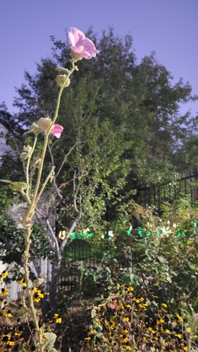
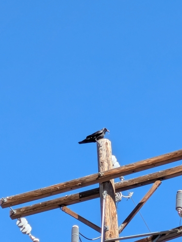
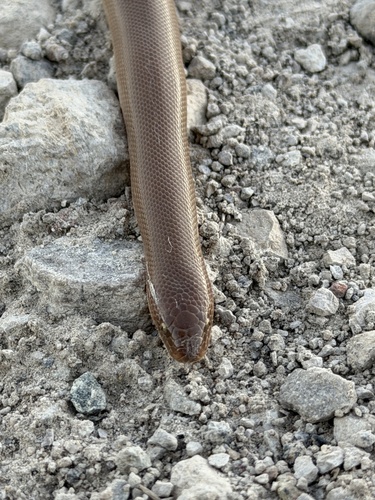
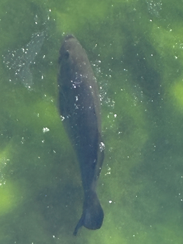
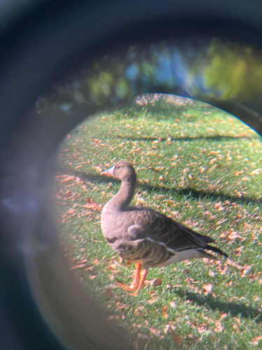
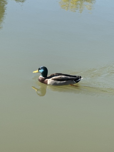
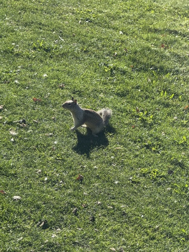
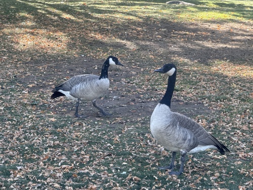
Research-grade observations from iNaturalist (within ~15 mi).
Nearest stream gauge
Live readings from USGS NWIS · measured 2026-10-16 09:20 UTC.
Events
Notable, recurring, and historical events associated with Reno, sourced from Wikidata.
Source: Wikidata (CC0).
Gallery
Sources
- • Wikipedia
- • US Census Bureau (ACS 5-year estimates)
- • NOAA National Weather Service
- • Wikidata
- • USGS Earthquake Catalog (global feed)
- • USGS NWIS (water data)
- • NCES via Urban Institute Education Data Portal
- • GBIF (Global Biodiversity Information Facility)
- • iNaturalist
- • CDC PLACES
- • Open-Meteo / sunrise-sunset.org
- • Wikipedia Pageviews API
- • Open Library
- • NASA EONET