Browse / United States / Nevada / Verdi
Verdi
NevadaCDP

Verdi
Total population
1,012
Median home value
$661,000
Bachelor's+
Median income
$80,670
Demographic figures from US Census Bureau · ACS 5-year estimates. Overview below cites Wikipedia and may reference a different year.
City facts
Overview
Verdi is a census-designated place (CDP) in Washoe County, Nevada, United States. It is on the western side of the Reno metropolitan area near Interstate 80 and stretches eastward towards its neighborhood-exclave of Lawton, Nevada, surrounded by Reno, Nevada, west of Mae Anne Avenue. The CDP of Verdi, California, lies immediately adjacent across the state line. Both are in the shadow of California's Verdi Range. As of the 2020 census, Verdi had a population of 1,396. Prior to 2010, the community was listed by the U.S. Census Bureau as part of the Verdi-Mogul CDP.
Read more on WikipediaHistory & geography
History
It was originally known as O'Neil's Crossing, named for the man who built a bridge there in 1860. The town of Verdi was named after Giuseppe Verdi by Charles Crocker, founder of the Central Pacific Railroad, when he pulled a slip of paper from a hat and read the name of the Italian opera composer in 1868. The name is pronounced by the local population as VUR-dye. On November 4, 1870, five men robbed a train travelling from San Francisco to Virginia City near Verdi after blocking the track. The train was carrying approximately $60,000 of gold and silver, and the robbers were able to get away with approximately $41,000. The same train was robbed for a second time near Pequop, Nevada, in Elko County.
Geography
Verdi is located at on the western border of Nevada, adjacent to the California state line. The CDP has a total area of , of which is land and , or 3.35%, is water. In February 2008 an earthquake swarm began, which ended in June 2008. The total number of earthquakes in the census-designated place reached over 5,000 and ranged in magnitude from 0.7 to 4.7 on the Richter magnitude scale.
Excerpted from the corresponding Wikipedia article (CC BY-SA).
Demographics & economy
Race & ethnicity
Source: US Census Bureau — American Community Survey, 5-year estimates.
Geography
Coordinates & boundaries from the US Census TIGER/Line shapefiles.
Climate
Current forecast
Forecast for Verdi, NV from NOAA NWS API.
Air quality
Industrial & pollution facilities
Natural hazard risk
Health (adults)
Age-adjusted prevalence estimates from CDC PLACES (latest release).
Walkability
Amenities nearby
Wildlife & biodiversity
Schools
Largest nearby schools
- RENO HIGH SCHOOLHigh · RENO · 1,796 students · 24.9:1 ratio
- ROBERT MCQUEEN HIGH SCHOOLHigh · RENO · 1,643 students · 24.9:1 ratio
- WILLIAM OBRIEN MIDDLE SCHOOLMiddle · RENO · 1,065 students · 21.7:1 ratio
- DARREL SWOPE MIDDLE SCHOOLMiddle · RENO · 946 students · 27:1 ratio
- BILLINGHURST MIDDLE SCHOOLMiddle · RENO · 912 students · 21.2:1 ratio
- ARCHIE CLAYTON PRE-A.P. ACADEMYMiddle · RENO · 723 students · 22.6:1 ratio
- STEAD ELEMENTARYElementary · RENO · 702 students · 19:1 ratio
- ROLLAN MELTON ELEMENTARYElementary · RENO · 543 students · 18.7:1 ratio
Public K–12 schools within ~10 mi from Urban Institute Education Data Portal (NCES Common Core of Data, 2022).
Earthquake history
Photos
Sights & places nearby
Notable people from here
Nearby places in Nevada
- Mogul3.3 mi away · pop. 1,050
- Reno7.4 mi away · pop. 264,165
- Golden Valley10.8 mi away · pop. 1,139
- Cold Springs11.8 mi away · pop. 11,321
- Sun Valley12.6 mi away · pop. 22,228
- Lemmon Valley14 mi away · pop. 4,412
- Sparks14.8 mi away · pop. 111,523
- Incline Village17.8 mi away
- Spanish Springs19.1 mi away
- Washoe Valley19.3 mi away · pop. 3,315
- Crystal Bay20.1 mi away
- Virginia City23.2 mi away · pop. 644
Geography & sun
Elevation, sunrise/sunset and daylight from Open-Meteo. Solar climatology from NASA POWER.
Nearby airports
Public attention
Pageview totals from the Wikimedia Pageviews API.
Books about Verdi

Search results from Open Library.
Recent natural events nearby
- Wildfire Hawk, Washoe, NevadaWildfires · 2026-08-22 · 2 mi
- Wildfire Hawk, Washoe, NevadaWildfires · 2026-08-22 · 2 mi
- Wildfire Bug, Lassen, CaliforniaWildfires · 2026-08-08 · 15 mi
- Wildfire Fred Mt, Washoe, NevadaWildfires · 2026-08-09 · 18 mi
- Wildfire Stallion, Washoe, NevadaWildfires · 2026-08-10 · 32 mi
- Wildfire GANN, Calaveras, CaliforniaWildfires · 2026-08-03 · 106 mi
- Wildfire Blue Eagle, Churchill, NevadaWildfires · 2026-08-25 · 123 mi
- Wildfire Shoshone, Churchill, NevadaWildfires · 2026-08-15 · 125 mi
Wildfires, storms and other events from NASA EONET (last 12 months, within 250 mi).
Ground air-quality sensors
Recently spotted species
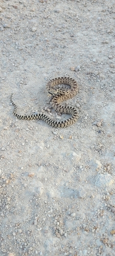
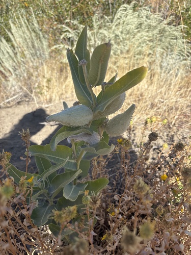
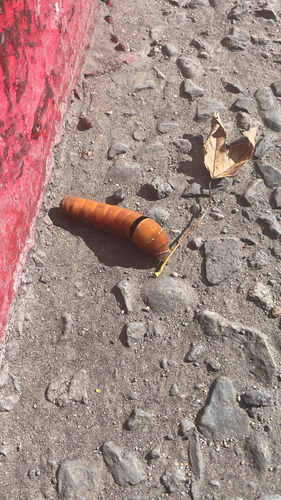
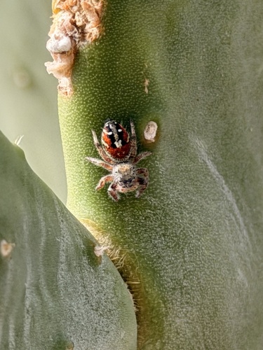
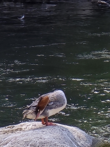
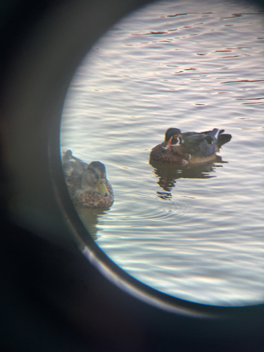
Research-grade observations from iNaturalist (within ~15 mi).
Nearest stream gauge
Live readings from USGS NWIS · measured 2026-09-17 05:55 UTC.
Events
Gallery
Sources
- • Wikipedia
- • US Census Bureau (ACS 5-year estimates)
- • NOAA National Weather Service
- • USGS NWIS (water data)
- • NCES via Urban Institute Education Data Portal
- • iNaturalist
- • CDC PLACES
- • Open-Meteo / sunrise-sunset.org
- • Wikipedia Pageviews API
- • Open Library
- • NASA EONET