Browse / United States / New York / Apalachin
Apalachin
New YorkCDP
Total population
2,553
Median home value
$179,900
Bachelor's+
Median income
$81,337
Demographic figures from US Census Bureau · ACS 5-year estimates. Overview below cites Wikipedia and may reference a different year.
City facts
Facts from Wikidata (CC0).
Overview
Apalachin is a census-designated place within the Town of Owego in Tioga County, New York, United States. As of the 2020 census, Apalachin had a population of 2,632. The CDP is named after Apalachin Creek.
Read more on WikipediaHistory & geography
History
The first White settler arrived , but the community was not founded until 1836. On November 14, 1957, the Apalachin Meeting was held by the heads of the American Mafia at the home of Joseph Barbara, an Apalachin resident. This was a conference of mobsters who had gathered to iron out various issues in the underworld. The gathering was quickly broken up when a curious New York State trooper turned up and spotted expensive cars at the home. Other police officers quickly arrived to arrest those attending the conference, and sent some of the most powerful gangsters in the country fleeing through the surrounding countryside. Mafiosi and the FBI sometimes just refer to the meeting as "Apalachin". This meeting was humorously portrayed in the opening sequence of the 1999 motion picture Analyze This, which starred Robert De Niro and Billy Crystal. This meeting was also depicted in the 1972 film The Valachi Papers as well as the 2019 film Mob Town. From 1960, until it was cancelled in 2016, the annual Apalachin Firemen's Field Days, was hosted by Apalachin, a four-day carnival, generally held in the first week of June. The event had grown from a small event in a field to one held at a permanent location with large pavilions (still called the beer and food tents by locals) and a large square of game booths that surround 15-20 carnival rides. Events included the Little Miss Apalachin contest, fireworks and a large parade. Riverside Cemetery was listed on the National Register of Historic Places in 2014.
Geography
Apalachin is located at . According to the United States Census Bureau, the region has a total area of , all land. The community is on the south side of the Susquehanna River. Apalachin is adjacent to Interstate 86 (Pennsylvania–New York).
Excerpted from the corresponding Wikipedia article (CC BY-SA).
Demographics & economy
Race & ethnicity
Source: US Census Bureau — American Community Survey, 5-year estimates.
Geography
Coordinates & boundaries from the US Census TIGER/Line shapefiles.
Climate
Current forecast
Forecast for Apalachin, NY from NOAA NWS API.
Air quality
Industrial & pollution facilities
Natural hazard risk
Health (adults)
Age-adjusted prevalence estimates from CDC PLACES (latest release).
Walkability
Amenities nearby
Wildlife & biodiversity
Most-observed species
- American CrowCorvus brachyrhynchos C.L.Brehm, 1822 · Aves10,719
- Northern CardinalCardinalis cardinalis (Linnaeus, 1758) · Aves10,356
- Black-capped ChickadeePoecile atricapillus (Linnaeus, 1766) · Aves10,346
- Blue JayCyanocitta cristata (Linnaeus, 1758) · Aves10,209
- American RobinTurdus migratorius Linnaeus, 1766 · Aves9,266
- Song SparrowMelospiza melodia (A.Wilson, 1810) · Aves7,815
- American GoldfinchSpinus tristis (Linnaeus, 1758) · Aves7,690
- Tufted TitmouseBaeolophus bicolor (Linnaeus, 1766) · Aves7,528
Citizen-science & research observations from the Global Biodiversity Information Facility (GBIF).
Schools
Earthquake history
Most recent
- M 2.8 — 2025-06-1010 km NW of Forksville, Pennsylvania
Events from the USGS Earthquake Catalog (global) (FDSN Event Web Service).
Photos
Sights & places nearby
Notable people from here


People born within ~10 km, from Wikidata (CC0). Click any name for their Wikipedia article.
Nearby places in New York
Geography & sun
Elevation, sunrise/sunset and daylight from Open-Meteo. Solar climatology from NASA POWER.
Nearby airports
Public attention
Pageview totals from the Wikimedia Pageviews API.
Books about Apalachin

Search results from Open Library.
Recent natural events nearby
Ground air-quality sensors
Recently spotted species
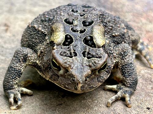
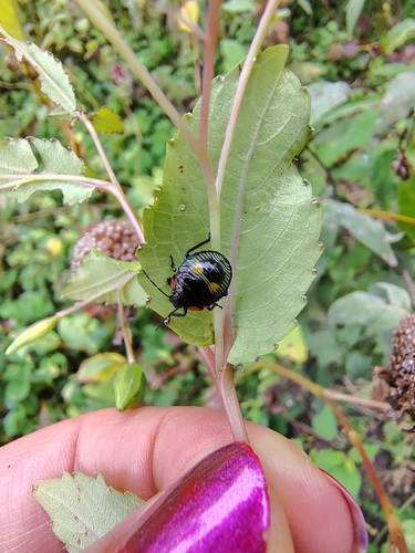
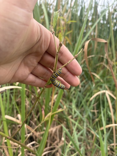
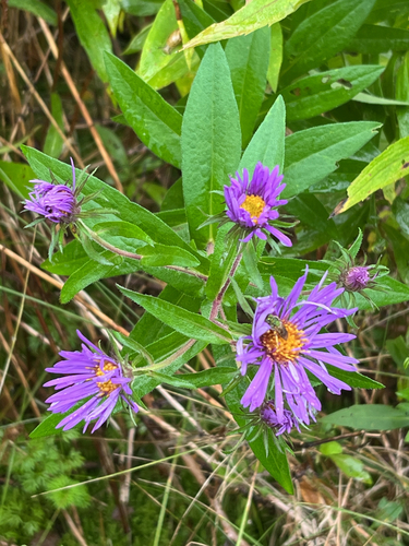
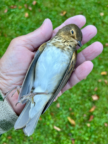
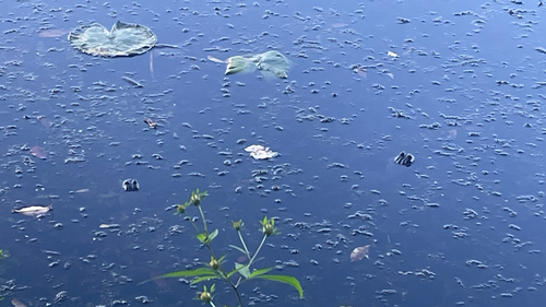
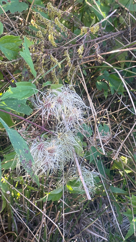
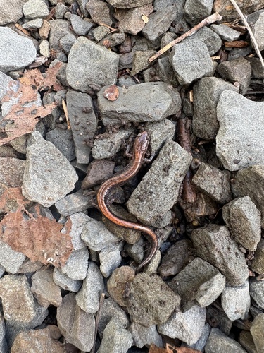
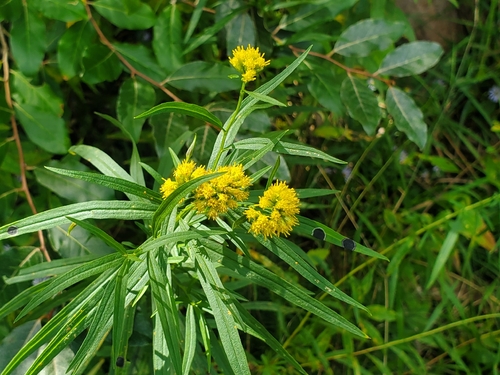
Research-grade observations from iNaturalist (within ~15 mi).
Nearest stream gauge
Events
Notable, recurring, and historical events associated with Apalachin, sourced from Wikidata.
- Nov 14, 1957
Source: Wikidata (CC0).
Gallery
Sources
- • Wikipedia
- • US Census Bureau (ACS 5-year estimates)
- • NOAA National Weather Service
- • Wikidata
- • USGS Earthquake Catalog (global feed)
- • GBIF (Global Biodiversity Information Facility)
- • iNaturalist
- • CDC PLACES
- • Open-Meteo / sunrise-sunset.org
- • Wikipedia Pageviews API
- • Open Library