Browse / United States / New York / Carmel
Carmel
New YorkCDP

Carmel
Total population
7,306
Median home value
$488,300
Bachelor's+
Median income
$114,954
Demographic figures from US Census Bureau · ACS 5-year estimates. Overview below cites Wikipedia and may reference a different year.
City facts
Facts from Wikidata (CC0).
Overview
Carmel is a town in and the county seat of Putnam County, New York, United States. As of the 2020 United States census, the town had a population of 33,576.
Read more on WikipediaHistory & geography
History
The town of Carmel was originally inhabited by Indians of the Wappinger people, who, in 1691, sold the property to Dutch traders. In 1697, a wealthy New York merchant, Adolphus Philipse, purchased their deed and was granted a patent from King William III of England for the entire tract of land which is now Putnam County. The town was settled around 1740 by George Hughson. Carmel was formed with Franklin town from part of Frederick town on March 17, 1795, while still a part of Dutchess County. (Franklin was renamed Patterson April 6, 1808. Frederick changed its name to Kent April 15, 1817.) Carmel was transferred to Putnam County when Dutchess County was split to form Putnam County in 1812 and Carmel was designated the county seat. In 1861, a small part of Carmel was taken to be added to the town of Putnam Valley. A statue memorializing Sybil Ludington sits alongside Lake Gleneida. At the age of 16, she is said to have ridden all night to alert troops on April 26, 1777 that the British were coming. A 2015 report in The New England Quarterly says there is little evidence backing the story, since at least 1956. The historic Putnam County Court House was built in 1814. It is the second oldest working courthouse in New York State. General James Townsend, of Carmel, was the architect. A landmark on Gleneida Avenue in Carmel, the building has a classical front facade. There was one hanging there in 1844. A jail was added in 1855. A new Putnam County Courthouse was completed in early 2008, located nearby on Gleneida Avenue. * December 4, 1965 – A Trans World Airlines Boeing 707 en route to San Francisco collided with an Eastern Airlines Lockheed Constellation flight in mid-air, killing four people. * July 29, 1971 – A category F-2 tornado away from the town center…
Geography
According to the United States Census Bureau, the town has a total area of (88.74%), of which is land and is water (11.26%). The southern town line is the border of Westchester County, adjacent to Somers and the Town of Yorktown. The town is located approximately north of New York City (measured from Central Park) and approximately west of Danbury, Connecticut. * Gilead Cemetery * Putnam Hospital Center — a 164-bed not-for-profit acute care hospital on Stoneleigh Avenue, which opened in 1964. * Reed Memorial Library * Carmel – A hamlet in the northeastern corner of the town and home to the seat of Putnam County. *Baldwin Place – A hamlet at the junction of US 6 and NY 118. * Carmel Hills – A hamlet south of Carmel village. * Crafts – once a hamlet of Carmel with its own post office, off Drewville Road, south of Route 6, named after the Craft Family, descendants of Pilgrims. * Field Corners – * Hopkins Corners – * Houseman Corners – * Ludington – * Mahopac – A hamlet in the southern half the town where the municipal government is located. * Mahopac Falls – A hamlet in the southwestern corner of the town. * Mahopac Mines – Abandoned mines on the eastern side of town near the old Ames building. * Mahopac Point – A former private community on Lake Mahopac *Mahopac Golf Club – Located on the north side of Lake Mahopac is an 18-hole private golf and beach club. * Rock Hill Camp – A Girl Scout camp opened in 1922, located in Mahopac on Long Pond. * Thompkins Corners – * Secor Corners – * Stillwater – A hamlet in the southwestern corner of the town. * Tilly Foster – A hamlet southeast of Carmel village near the eastern town line.
Excerpted from the corresponding Wikipedia article (CC BY-SA).
Demographics & economy
Race & ethnicity
Source: US Census Bureau — American Community Survey, 5-year estimates.
Geography
Coordinates & boundaries from the US Census TIGER/Line shapefiles.
Climate
Air quality
Industrial & pollution facilities
Natural hazard risk
Health (adults)
Walkability
Amenities nearby
Wildlife & biodiversity
Schools
Earthquake history
Photos
Sights & places nearby
Notable people from here


People born within ~10 km, from Wikidata (CC0). Click any name for their Wikipedia article.
Nearby places in New York
- Lake Carmel4.3 mi away
- Golden's Bridge7.8 mi away
- Katonah10.2 mi away · pop. 2,176
- Lake Mohegan10.3 mi away
- Crompond11 mi away
- Hopewell Junction13.9 mi away
- Cold Spring14 mi away · pop. 1,863
- Chelsea Cove14.9 mi away
- Bedford15 mi away · pop. 1,874
- Fort Montgomery16.2 mi away
- Cornwall-on-Hudson17.2 mi away
- Croton-on-Hudson17.4 mi away
Geography & sun
Elevation, sunrise/sunset and daylight from Open-Meteo. Solar climatology from NASA POWER.
Nearby airports
Public attention
Pageview totals from the Wikimedia Pageviews API.
Books about Carmel


Search results from Open Library.
Recent natural events nearby
Ground air-quality sensors
Recently spotted species
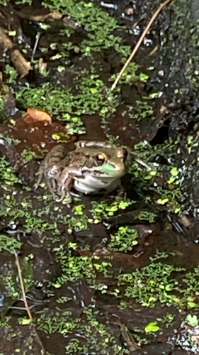
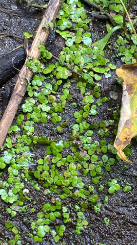
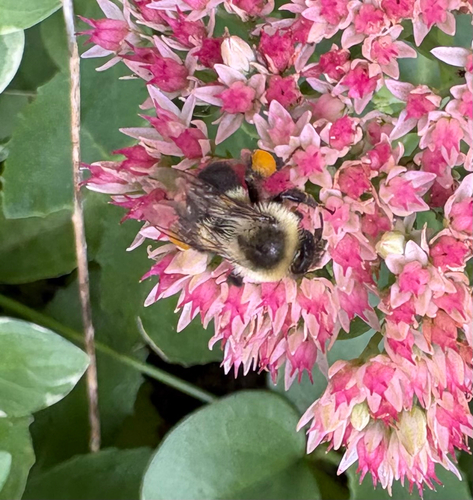
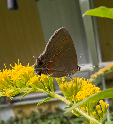
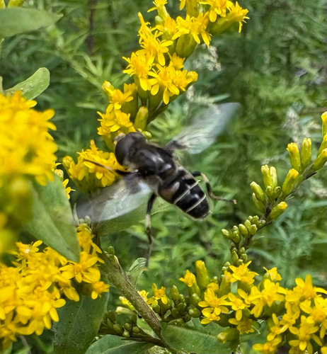
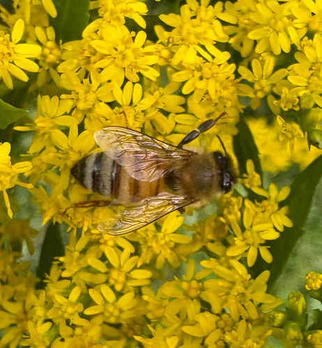
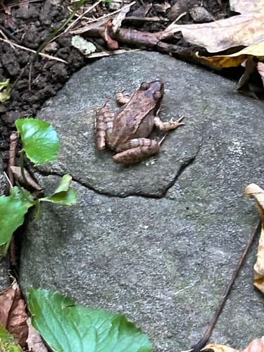
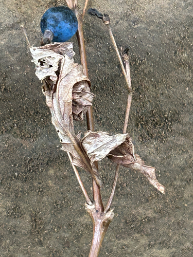
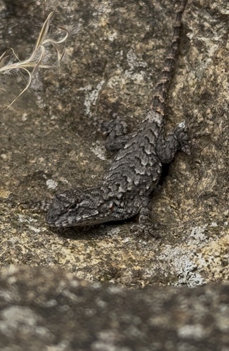
Research-grade observations from iNaturalist (within ~15 mi).
Nearest stream gauge
Events
Gallery
Sources
- • Wikipedia
- • US Census Bureau (ACS 5-year estimates)
- • Wikidata
- • iNaturalist
- • Open-Meteo / sunrise-sunset.org
- • Wikipedia Pageviews API
- • Open Library