Browse / United States / New York / Congers
Congers
New YorkCDP

Congers
Total population
8,275
Median home value
$614,600
Bachelor's+
Median income
$147,000
Demographic figures from US Census Bureau · ACS 5-year estimates. Overview below cites Wikipedia and may reference a different year.
City facts
Overview
Congers is a suburban hamlet and census-designated place in the town of Clarkstown, Rockland County, New York, United States. It is located north of Valley Cottage, east of New City, across Lake DeForest, south of Haverstraw, and west of the Hudson River. It lies 19 miles (31 km) north of New York City's Bronx boundary. As of the 2020 census, the population was 8,532.
Read more on WikipediaHistory & geography
History
Congers was settled in the late 17th century by Dutch, German and English settlers. It was known as Cedar Grove Corner and then Waldberg, which in German means "forest mountain". It is named after New York State Senator Abraham Bogart Conger (1814 - 1887). In the 19th century the Congers railroad station, three churches, a school, the firehouse and the Central and Globe hotels were built. The first floor of the then Globe hotel on the southeastern corner of Congers Road is presently the Last Chance Saloon. The Clarktown Dutch Reformed Church still stands at the corner of Congers Road and Kings Highway. Kings Highway was the first major road in the county and for many years the only road from New York to Albany. Nine structures in Congers have recognized historical markers dating back to the 18th century, including the DeBaum House on Kings Highway, the Smith House on Gilchrest Road and the Snedeker House, where the George Washington is believed to have spent a night in his role as commander-in-chief of Colonial forces during the American Revolution. The Swartout estate, which was occupied by George Swartout, was part of a large tract of land confiscated by the government about 1777. It was purchased by General Jacobus Swartwout, who was a top ally of Washington, and member of a family who traced their residence in Rockland County to 1660. Lake DeForest, a reservoir with a capacity of over 5 billion gallons, was built in 1955-1956. It is named after Henry L. Deforest, President of the Spring Valley Works and Supply Company. Several roads are named after Union Civil War generals, including Grant, Burnside, Sheridan, Sherman, and Rosecrans avenues. A memorial in honor of 1st Lieutenant Raymond B. Jauss is located at the park adjacent to the railroad crossing at…
Geography
Congers is located at (41.146445, −73.944036). According to the United States Census Bureau, the CDP has a total area of , of which is land and (18.39%) is water. The high percentage of Congers that sits under water is due to the hamlet's emplacement within and between four lakes: Congers Lake, Rockland Lake, Swartwout (also Swarthout) Lake, and the county reservoir, Lake DeForest. Congers is adjacent to Rockland Lake State Park, along the Hudson River.
Excerpted from the corresponding Wikipedia article (CC BY-SA).
Demographics & economy
Race & ethnicity
Source: US Census Bureau — American Community Survey, 5-year estimates.
Geography
Coordinates & boundaries from the US Census TIGER/Line shapefiles.
Climate
Current forecast
Forecast for Congers, NY from NOAA NWS API.
Air quality
Industrial & pollution facilities
Natural hazard risk
Health (adults)
Age-adjusted prevalence estimates from CDC PLACES (latest release).
Walkability
Amenities nearby
Wildlife & biodiversity
Most-observed species
- Blue JayCyanocitta cristata (Linnaeus, 1758) · Aves44,123
- Northern CardinalCardinalis cardinalis (Linnaeus, 1758) · Aves42,893
- American RobinTurdus migratorius Linnaeus, 1766 · Aves42,350
- Song SparrowMelospiza melodia (A.Wilson, 1810) · Aves38,521
- Canada Goose (canadensis Group)Branta canadensis (Linnaeus, 1758) · Aves34,611
- Red-bellied WoodpeckerMelanerpes carolinus (Linnaeus, 1758) · Aves34,569
- Tufted TitmouseBaeolophus bicolor (Linnaeus, 1766) · Aves32,521
- Carolina WrenThryothorus ludovicianus (Latham, 1790) · Aves31,879
Citizen-science & research observations from the Global Biodiversity Information Facility (GBIF).
Schools
Earthquake history
Most recent
- M 2.8 — 2025-08-051 km N of Hillsdale, New Jersey
- M 3 — 2025-08-030 km W of Little Ferry, New Jersey
- M 2.9 — 2024-05-246 km E of Califon, New Jersey
- M 2.6 — 2024-05-011 km NW of Gladstone, New Jersey
- M 2.9 — 2024-04-277 km WSW of Gladstone, New Jersey
- M 2.6 — 2024-04-105 km WSW of Gladstone, New Jersey
Events from the USGS Earthquake Catalog (global) (FDSN Event Web Service).
Photos
Sights & places nearby
Notable people from here


People born within ~10 km, from Wikidata (CC0). Click any name for their Wikipedia article.
Nearby places in New York
Geography & sun
Elevation, sunrise/sunset and daylight from Open-Meteo. Solar climatology from NASA POWER.
Nearby airports
Public attention
Pageview totals from the Wikimedia Pageviews API.
Books about Congers


Search results from Open Library.
Recent natural events nearby
Ground air-quality sensors
Recently spotted species
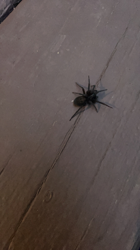
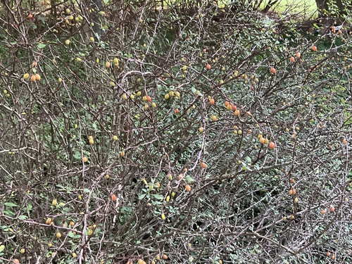
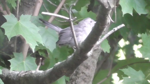
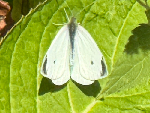
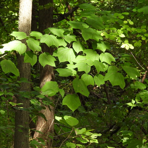
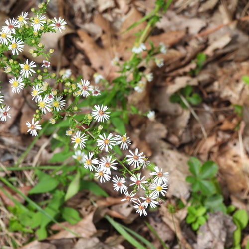
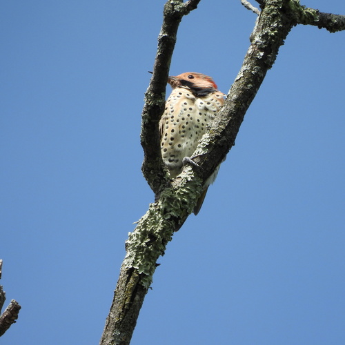
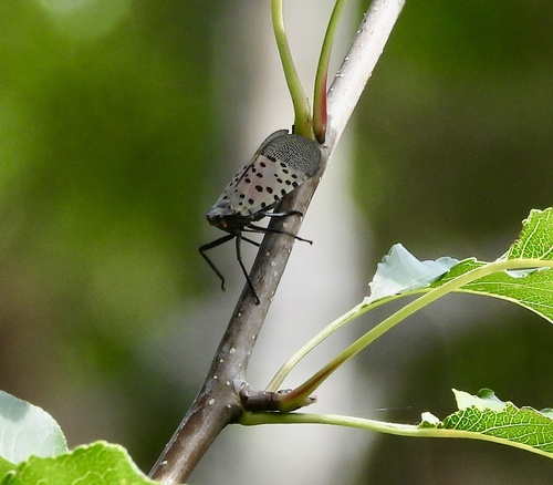
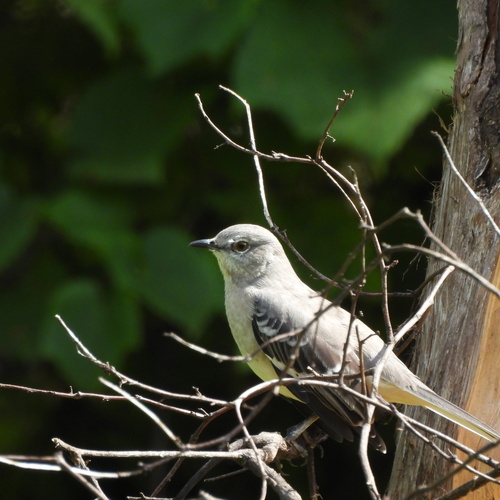
Research-grade observations from iNaturalist (within ~15 mi).
Nearest stream gauge
Events
Gallery
Sources
- • Wikipedia
- • US Census Bureau (ACS 5-year estimates)
- • NOAA National Weather Service
- • Wikidata
- • USGS Earthquake Catalog (global feed)
- • GBIF (Global Biodiversity Information Facility)
- • iNaturalist
- • CDC PLACES
- • Open-Meteo / sunrise-sunset.org
- • Wikipedia Pageviews API
- • Open Library