Browse / United States / New York / Freeport
Freeport
New Yorkvillage

Freeport
Total population
44,088
Median home value
$505,900
Bachelor's+
Median income
$120,625
Founded
1892
Air quality index
Demographic figures from US Census Bureau · ACS 5-year estimates. Overview below cites Wikipedia and may reference a different year.
- Rip Current Statement · ModerateRip Current Statement issued September 24 at 3:52AM EDT until September 25 at 6:00PM EDT by NWS Upton NY
- Coastal Flood Advisory · MinorCoastal Flood Advisory issued September 24 at 3:52AM EDT until September 25 at 9:00AM EDT by NWS Upton NY
- Coastal Flood Watch · ModerateCoastal Flood Watch issued September 24 at 3:52AM EDT until September 26 at 9:00AM EDT by NWS Upton NY
Source: NOAA National Weather Service.
City facts
Facts from Wikidata (CC0).
Overview
Freeport is a village located within the town of Hempstead, in Nassau County, on the South Shore of Long Island, in New York, United States. The population was 44,472 at the time of the 2020 census, making it the second largest village in New York by population.
Read more on WikipediaHistory & geography
History
Before people of European ancestry came to the area, the land was part of the territory of the Meroke Indians. Written records of the community go back to the 1640s. In 1853, residents voted to rename the village Freeport, adopting a variant of a nickname used by ship captains during colonial times because they were not charged customs duties to land their cargo. From 1868, Freeport was served by the Southside Railroad, which was a major boon to development. The most prominent figure in this boom was developer John J. Randall; among his other contributions to the shape of Freeport today were several canals, including the Woodcleft Canal, one side of which is now the site of the "Nautical Mile". The Freeport Spite House still is standing and occupied. The village residents voted to incorporate the village on October 18, 1892, At that time, it had a population of 1,821. Public street lighting was begun in 1907, and a public fire alarm system was adopted in 1910. In the years after incorporation, Freeport was a tourist and sportsman's destination for its boating and fishing. From 1902 into the late 1920s, the New York and Long Island Traction Corporation ran trolleys through Freeport to Jamaica, Hempstead, and Brooklyn. These trolleys went down Main Street in Freeport, connecting to a ferry at Scott's Hotel near Ray Street. In later years these ferries departed from Ellison's dock on Little Swift Creek, served by separate trolleys operated by the Great South Bay Ferry Company. The ferries took people to Point Lookout, about three miles (5 km) south of Freeport, where there is an ocean beach. For a few years after 1913, the short-lived Freeport Railroad Company ran a trolley nicknamed "the Fishermen's Delight" along Grove Street (now Guy Lombardo Avenue) from…
Geography
According to the United States Census Bureau, the village has a total area of . The village is bisected by east–west New York State Route 27 (Sunrise Highway). The Meadowbrook State Parkway defines its eastern boundary. The southern part of the village is penetrated by several canals that allow access to the Atlantic Ocean by means of passage through salt marshes. The oldest canal is the late 19th-century Woodcleft Canal. Precipitation is uniform throughout the year, with slight spring and fall peaks.
Excerpted from the corresponding Wikipedia article (CC BY-SA).
Demographics & economy
Race & ethnicity
Source: US Census Bureau — American Community Survey, 5-year estimates.
Geography
Coordinates & boundaries from the US Census TIGER/Line shapefiles.
Climate
Current forecast
Forecast for Freeport, NY from NOAA NWS API.
Air quality
Current readings from Open-Meteo Air Quality API (Copernicus CAMS European reanalysis).
Industrial & pollution facilities
Natural hazard risk
Health (adults)
Age-adjusted prevalence estimates from CDC PLACES (latest release).
Walkability
Amenities nearby
Wildlife & biodiversity
Most-observed species
- American RobinTurdus migratorius Linnaeus, 1766 · Aves37,374
- Northern CardinalCardinalis cardinalis (Linnaeus, 1758) · Aves36,360
- Mourning DoveZenaida macroura (Linnaeus, 1758) · Aves36,243
- European StarlingSturnus vulgaris Linnaeus, 1758 · Aves34,207
- Canada Goose (canadensis Group)Branta canadensis (Linnaeus, 1758) · Aves34,117
- House SparrowPasser domesticus (Linnaeus, 1758) · Aves33,139
- Song SparrowMelospiza melodia (A.Wilson, 1810) · Aves32,688
- American herring gull, Smithsonian GullLarus smithsonianus Coues, 1862 · Aves29,866
Citizen-science & research observations from the Global Biodiversity Information Facility (GBIF).
Schools
Largest nearby schools
- FREEPORT HIGH SCHOOLHigh · FREEPORT · 2,264 students · 13.5:1 ratio
- UNIONDALE HIGH SCHOOLHigh · UNIONDALE · 2,080 students · 11.6:1 ratio
- ACADEMY CHARTER SCHOOLOther · HEMPSTEAD · 1,880 students · 17.1:1 ratio
- HEMPSTEAD HIGH SCHOOLHigh · HEMPSTEAD · 1,866 students · 23.6:1 ratio
- HICKSVILLE HIGH SCHOOLHigh · HICKSVILLE · 1,852 students · 13:1 ratio
- NEW HYDE PARK MEMORIAL HIGH SCHOOLHigh · NEW HYDE PARK · 1,727 students · 13.7:1 ratio
- NASSAU BOCESOther · GARDEN CITY · 1,712 students · 4.4:1 ratio
- FARMINGDALE SENIOR HIGH SCHOOLHigh · FARMINGDALE · 1,703 students · 10.4:1 ratio
Public K–12 schools within ~10 mi from Urban Institute Education Data Portal (NCES Common Core of Data, 2022).
Earthquake history
Most recent
- M 2.8 — 2025-08-051 km N of Hillsdale, New Jersey
- M 3 — 2025-08-030 km W of Little Ferry, New Jersey
- M 2.9 — 2024-05-246 km E of Califon, New Jersey
- M 2.6 — 2024-05-011 km NW of Gladstone, New Jersey
- M 2.9 — 2024-04-277 km WSW of Gladstone, New Jersey
- M 2.6 — 2024-04-105 km WSW of Gladstone, New Jersey
Events from the USGS Earthquake Catalog (global) (FDSN Event Web Service).
Photos
Sights & places nearby
Notable people from here


People born within ~10 km, from Wikidata (CC0). Click any name for their Wikipedia article.
Nearby places in New York
Geography & sun
Elevation, sunrise/sunset and daylight from Open-Meteo. Solar climatology from NASA POWER.
Nearby airports
Public attention
Pageview totals from the Wikimedia Pageviews API.
Books about Freeport


Search results from Open Library.
Recent natural events nearby
Ground air-quality sensors
Recently spotted species
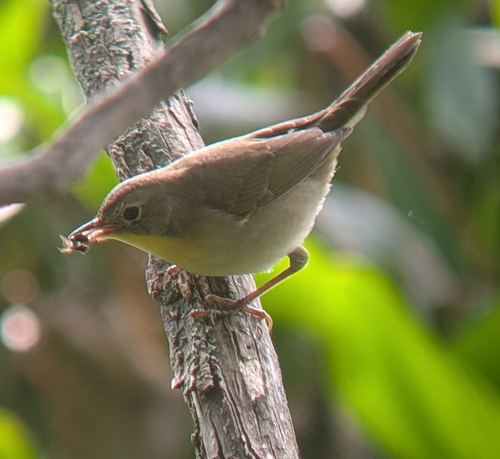
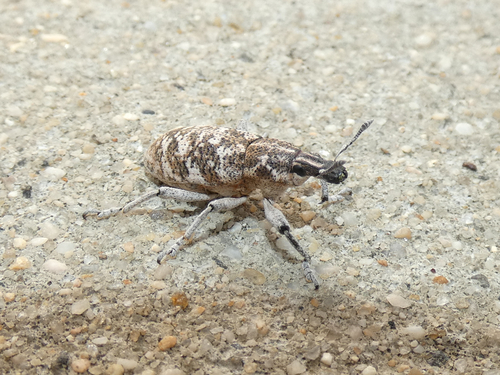
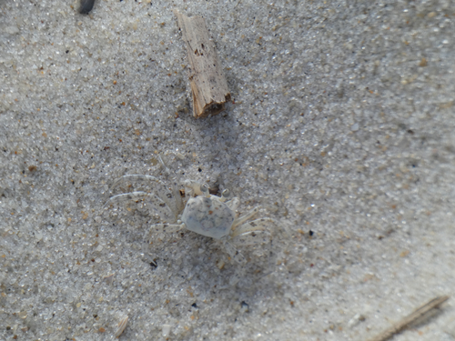
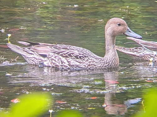
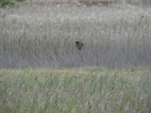
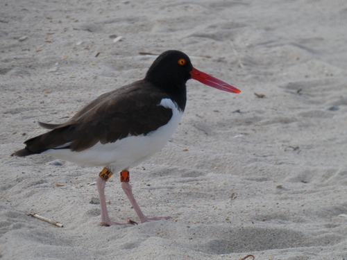
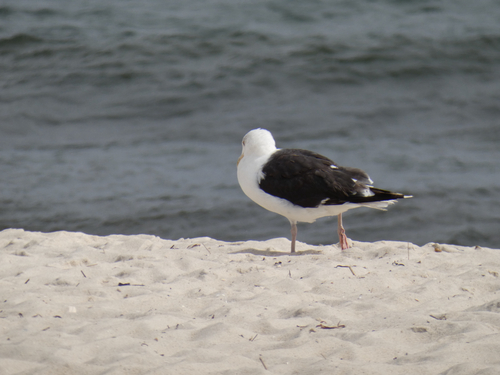
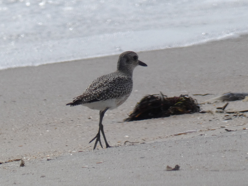
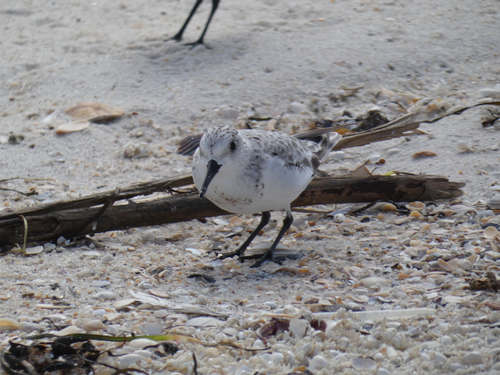
Research-grade observations from iNaturalist (within ~15 mi).
Nearest stream gauge
Events
Gallery
Sources
- • Wikipedia
- • US Census Bureau (ACS 5-year estimates)
- • NOAA National Weather Service
- • Wikidata
- • Open-Meteo Air Quality (CAMS)
- • USGS Earthquake Catalog (global feed)
- • NCES via Urban Institute Education Data Portal
- • GBIF (Global Biodiversity Information Facility)
- • iNaturalist
- • CDC PLACES
- • Open-Elevation
- • Open-Meteo / sunrise-sunset.org
- • Wikipedia Pageviews API
- • Open Library