Browse / United States / New York / Hempstead
Hempstead
New Yorkvillage

Hempstead
Total population
58,801
Median home value
$459,500
Bachelor's+
Median income
$90,420
Demographic figures from US Census Bureau · ACS 5-year estimates. Overview below cites Wikipedia and may reference a different year.
- Rip Current Statement · ModerateRip Current Statement issued September 25 at 4:44PM EDT until September 27 at 8:00PM EDT by NWS Upton NY
- High Surf Advisory · MinorHigh Surf Advisory issued September 25 at 4:44PM EDT until September 27 at 8:00PM EDT by NWS Upton NY
- Coastal Flood Warning · SevereCoastal Flood Warning issued September 25 at 4:44PM EDT until September 27 at 6:00PM EDT by NWS Upton NY
- Wind Advisory · ModerateWind Advisory issued September 25 at 2:48PM EDT until September 27 at 6:00AM EDT by NWS Upton NY
Source: NOAA National Weather Service.
City facts
Facts from Wikidata (CC0).
Overview
Hempstead is the most populous town in the state of New York. It is the largest of the three towns within Nassau County, located on Long Island, immediately east of southern Queens. The population was 793,409 at the time of the 2020 United States census, and its highest decennial census count ever was back in the 1970 United States census, where the town recorded a population of 801,592, which also made it the ninth largest municipality in the country by population at that time.
Read more on WikipediaHistory & geography
History
The town was first settled around 1644 following the establishment of a treaty between English colonists, John Carman and Robert Fordham, and the Lenape Indians in 1643. Although the settlers were from the new English colony of New Haven (established in 1638), later incorporated into Connecticut (1662), a patent was issued by the government of New Netherland after the settlers had purchased land from the local natives. This transaction is depicted in a mural in the Hempstead Village Hall, reproduced from a poster commemorating the 300th anniversary of Hempstead Village. In local Dutch-language documents of the 1640s and later, the town was invariably called Heemstede, and several of Hempstead's original 50 patentees were Dutch, suggesting that Hempstead was named after the Dutch town and/or castle of the same name, both of which are located near the cities of Haarlem and Amsterdam. However, the authorities possibly had Dutchified a name given by co-founder John Carman, who was born in 1606 in Hemel Hempstead, Hertfordshire, England, on land owned by his ancestors since the 13th century. In 1664, the settlement under the new Province of New York adopted the Duke's Laws, austere statutes that became the basis upon which the laws of many colonies were to be founded. For a time, Hempstead became known as "Old Blue", as a result of the "Blue Laws".'' During the American Revolution, the Loyalists in the south and the American sympathizers in the north caused a split in 1784 into "North Hempstead" and "South Hempstead". South Hempstead was renamed to Hempstead in 1796. Richard Hewlett, who was born in Hempstead, served as a Lieutenant Colonel with the British Army under General Oliver De Lancey in the American Revolution. Afterwards, Hewlett departed the United States…
Geography
According to the United States Census Bureau, the town has a total area of 191.3 square miles (495.5 km2), of which 120.0 square miles (310.7 km2) is land and 71.4 square miles (184.8 km2) – or 37.30% – is water. The western town line is Nassau County's border with Queens County in New York City. Its northern border, with the Town of North Hempstead and the town of Oyster Bay, is along the Main Line of the Long Island Rail Road and along Old Country Road in Garden City heading east towards the Wantagh Parkway. Its eastern border, also with the town of Oyster Bay, runs parallel to (and several hundred feet west of) Route 107. To the south is the Atlantic Ocean, off of Atlantic Beach, Lido Beach, Point Lookout, and Jones Beach, as well as the city of Long Beach. The most popular beach on the east coast of the United States, Jones Beach State Park, is located in Hempstead. The beach is a popular destination for Long Islanders and residents of New York. The beach itself receives approximately six million visitors per year. The town of Hempstead contains 22 villages and 38 hamlets: * Atlantic Beach * Bellerose * Cedarhurst * East Rockaway * Floral Park (small part in North Hempstead) * Freeport * Garden City (small part in North Hempstead) * Hempstead (village) * Hewlett Bay Park * Hewlett Harbor * Hewlett Neck * Island Park * Lawrence * Lynbrook * Malverne * Mineola (almost all in North Hempstead) * New Hyde Park (part; northern half in North Hempstead) * Rockville Centre * South Floral Park * Stewart Manor * Valley Stream * Woodsburgh * Baldwin * Baldwin Harbor * Barnum Island * Bay Park * Bellerose Terrace * Bellmore * Bethpage (almost all in Oyster Bay) * East Atlantic Beach * East Garden City * East Meadow * Elmont * Franklin Square * Garden City…
Excerpted from the corresponding Wikipedia article (CC BY-SA).
Demographics & economy
Race & ethnicity
Source: US Census Bureau — American Community Survey, 5-year estimates.
Geography
Coordinates & boundaries from the US Census TIGER/Line shapefiles.
Climate
Current forecast
Forecast for Hempstead, NY from NOAA NWS API.
Air quality
Industrial & pollution facilities
Natural hazard risk
Health (adults)
Age-adjusted prevalence estimates from CDC PLACES (latest release).
Walkability
Amenities nearby
Wildlife & biodiversity
Schools
Largest nearby schools
- FREEPORT HIGH SCHOOLHigh · FREEPORT · 2,264 students · 13.5:1 ratio
- UNIONDALE HIGH SCHOOLHigh · UNIONDALE · 2,080 students · 11.6:1 ratio
- ACADEMY CHARTER SCHOOLOther · HEMPSTEAD · 1,880 students · 17.1:1 ratio
- HEMPSTEAD HIGH SCHOOLHigh · HEMPSTEAD · 1,866 students · 23.6:1 ratio
- HICKSVILLE HIGH SCHOOLHigh · HICKSVILLE · 1,852 students · 13:1 ratio
- NEW HYDE PARK MEMORIAL HIGH SCHOOLHigh · NEW HYDE PARK · 1,727 students · 13.7:1 ratio
- NASSAU BOCESOther · GARDEN CITY · 1,712 students · 4.4:1 ratio
- FARMINGDALE SENIOR HIGH SCHOOLHigh · FARMINGDALE · 1,703 students · 10.4:1 ratio
Public K–12 schools within ~10 mi from Urban Institute Education Data Portal (NCES Common Core of Data, 2022).
Earthquake history
Photos
Sights & places nearby
Notable people from here


People born within ~10 km, from Wikidata (CC0). Click any name for their Wikipedia article.
Nearby places in New York
- Roosevelt2.6 mi away
- Rockville Centre3 mi away
- Mineola3.1 mi away
- Carle Place3.2 mi away · pop. 5,188
- East Meadow3.4 mi away · pop. 36,821
- North Lynbrook3.8 mi away · pop. 922
- Freeport4.1 mi away · pop. 44,088
- Salisbury4.2 mi away
- North Bellmore4.3 mi away · pop. 20,689
- Albertson4.9 mi away · pop. 4,891
- Oceanside5 mi away
- Roslyn Heights5.2 mi away
Geography & sun
Elevation, sunrise/sunset and daylight from Open-Meteo. Solar climatology from NASA POWER.
Nearby airports
Public attention
Pageview totals from the Wikimedia Pageviews API.
Books about Hempstead
Search results from Open Library.
Recent natural events nearby
Ground air-quality sensors
Recently spotted species
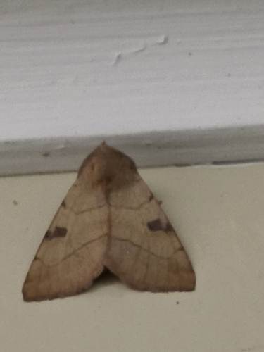
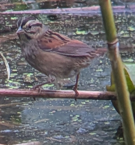
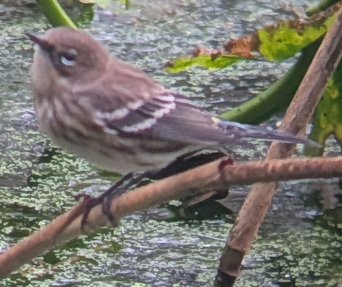
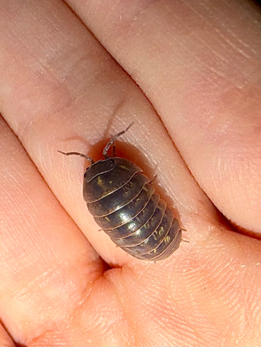
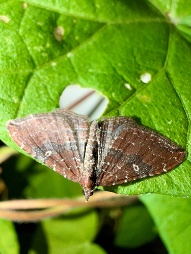
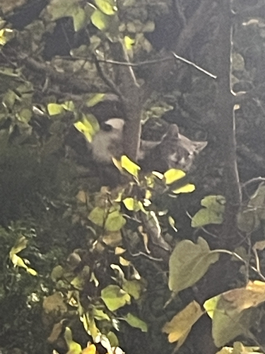
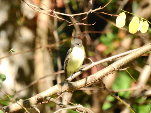
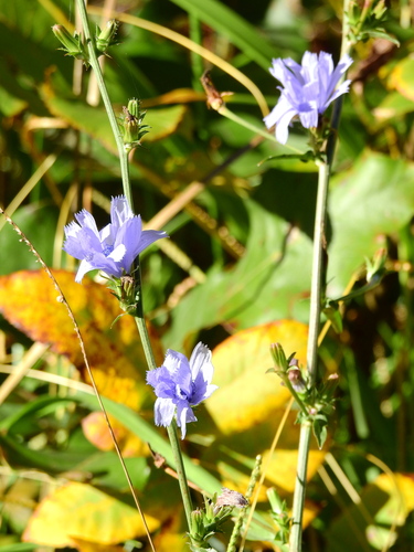
Research-grade observations from iNaturalist (within ~15 mi).
Nearest stream gauge
Events
Gallery
Sources
- • Wikipedia
- • US Census Bureau (ACS 5-year estimates)
- • NOAA National Weather Service
- • Wikidata
- • NCES via Urban Institute Education Data Portal
- • iNaturalist
- • CDC PLACES
- • Open-Meteo / sunrise-sunset.org
- • Wikipedia Pageviews API
- • Open Library