Browse / United States / New York / Green Island
Green Island
New Yorkvillage

Green Island
Total population
2,970
Median home value
$138,300
Bachelor's+
Median income
$59,406
Founded
1853
Demographic figures from US Census Bureau · ACS 5-year estimates. Overview below cites Wikipedia and may reference a different year.
City facts
Facts from Wikidata (CC0).
Overview
Green Island is a coterminous town-village in Albany County, New York, United States, some 8 miles (13 km) north of Albany. Green Island is one of only five such town-village amalgamations in New York. The population was 2,934 at the 2020 census, and the ZIP code is 12183. While the town of Green Island was once an island, it was connected to the mainland on the west side of the Hudson River in the 1960s.
Read more on WikipediaHistory & geography
History
Today's town and village of Green Island is connected to the mainland on the west side of the Hudson River. However, it was once called Tibbett's Island and is situated on land that was, in the past, an island. The First (or South) Branch of the Mohawk River delta once ran between the island and Watervliet, separating the island from mainland Albany County. The river branch was filled in during construction of Interstate 787 in the 1960s. Green Island was called by the Native Americans Pachanhanit or Nehanenesick, and was owned by the natives Amenhanit, Aepjen, and Wanapet until they sold it in 1665. The island was part of the Manor of Rensselaerswyck begun by the Patroon Kiliaen van Rensselaer, whose great-grandson (Colonel Kiliaen van Rensselaer) sold the island in 1708 to Colonel Pieter Schuyler. The island was sold, in 1714, to Hendrick Oothout. In 1796, the northern part of the island was purchased by George Tibbits, after whom the island received its name of Tibbits Island; while the southern portion of the island was sold by the Oothout family in 1833 to Daniel Cady. The next year, Cady sold the land to the Tibbits family. Much like its larger neighboring cities; Troy, Watervliet, and Cohoes; Green Island was a major manufacturing and transportation center. In 1823, the Federal Dam was built between Green Island and Troy, allowing for year-round navigation north on the Hudson River to Waterford and Lansingburgh. In 1834, a terminal was built on the island by the Rensselaer and Saratoga Railroad, which the following year built the first Green Island Bridge for railroad use from Green Island to Troy. Green Island, population 800, was incorporated in 1853 as a village in the town of Watervliet. In that same year the Gilbert Car Company had a railroad car factory…
Geography
Green Island is located at (42.744178, -73.694219). According to the United States Census Bureau, the village has a total area of , of which is land and (23.91%) is water. Green Island is located south of where the Mohawk River empties into the Hudson River in Albany County, New York. To the west is the hamlet of Maplewood within the town of Colonie, to the north is the city of Cohoes, the city of Watervliet is to the south-west, and the city of Troy in Rensselaer County is to the east across the Hudson River. The village of Green Island, in addition to the former island of the same name, has two other islands, Center Island (also known as Starbuck Island) and McGill Island. Center Island is crossed by the Green Island Bridge and directly east of the mainland and west of Downtown Troy. The River's Edge apartment complex lies to the north of the bridge. McGill Island is a small unpopulated island north of Center Island. It is frequently flooded.
Excerpted from the corresponding Wikipedia article (CC BY-SA).
Demographics & economy
Race & ethnicity
Source: US Census Bureau — American Community Survey, 5-year estimates.
Geography
Coordinates & boundaries from the US Census TIGER/Line shapefiles.
Climate
Current forecast
Forecast for Green Island, NY from NOAA NWS API.
Air quality
Industrial & pollution facilities
Natural hazard risk
Health (adults)
Walkability
Amenities nearby
Wildlife & biodiversity
Schools
Earthquake history
Photos
Sights & places nearby
Notable people from here


People born within ~10 km, from Wikidata (CC0). Click any name for their Wikipedia article.
Nearby places in New York
Geography & sun
Elevation, sunrise/sunset and daylight from Open-Meteo. Solar climatology from NASA POWER.
Nearby airports
Public attention
Pageview totals from the Wikimedia Pageviews API.
Books about Green Island







Search results from Open Library.
Recent natural events nearby
Ground air-quality sensors
Recently spotted species

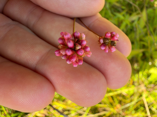
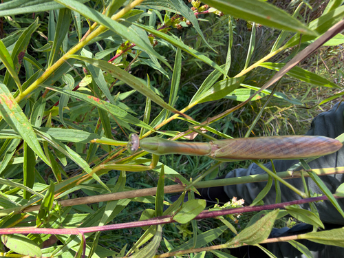

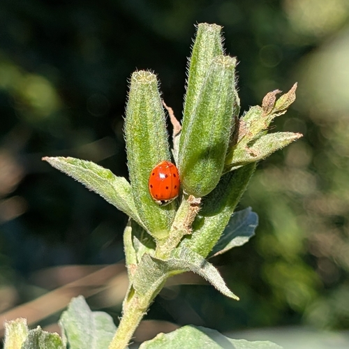

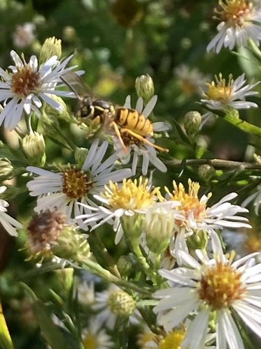
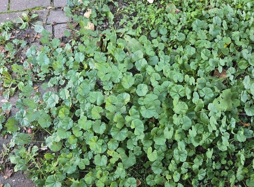
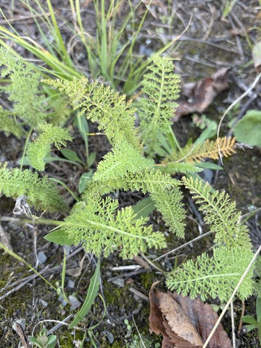
Research-grade observations from iNaturalist (within ~15 mi).
Nearest stream gauge
Live readings from USGS NWIS · measured 2026-09-25 17:15 UTC.
Events
Gallery
Sources
- • Wikipedia
- • US Census Bureau (ACS 5-year estimates)
- • NOAA National Weather Service
- • Wikidata
- • USGS NWIS (water data)
- • iNaturalist
- • Open-Meteo / sunrise-sunset.org
- • Wikipedia Pageviews API
- • Open Library